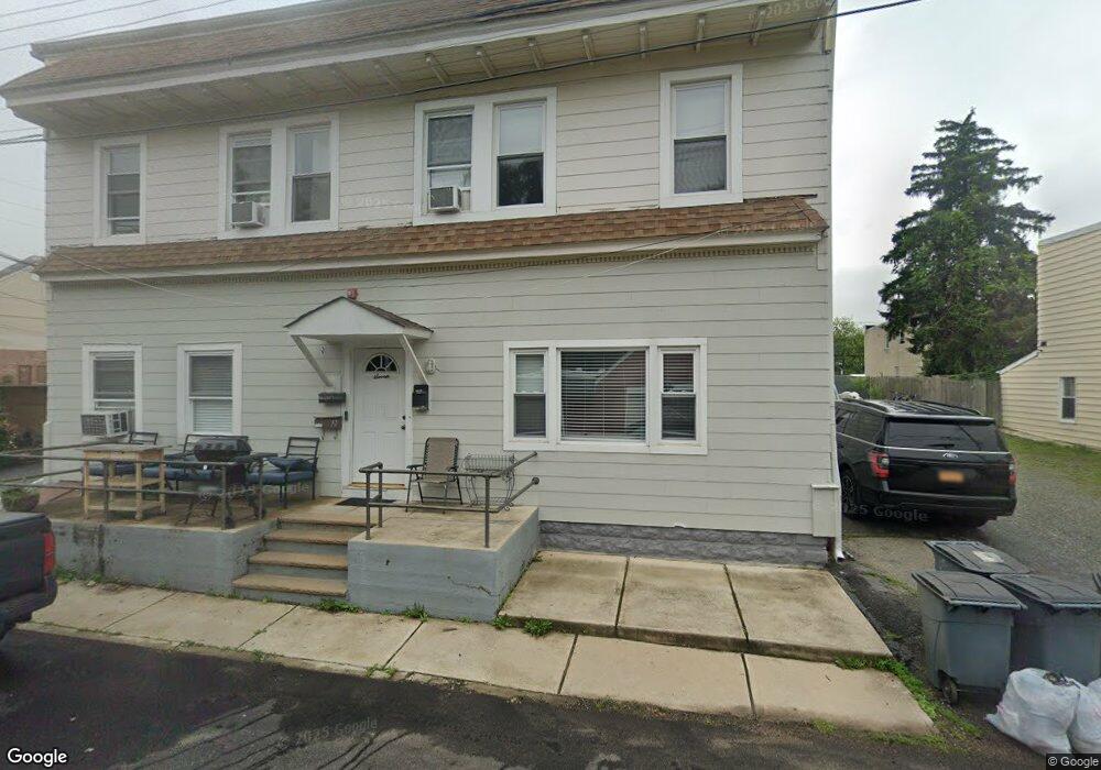
7 Brook St Unit 5 Haskell, NJ 07420
Estimated Value: $183,000 - $349,005
Studio
--
Bath
923
Sq Ft
$255/Sq Ft
Est. Value
About This Home
This home is located at 7 Brook St Unit 5, Haskell, NJ 07420 and is currently estimated at $235,751, approximately $255 per square foot. 7 Brook St Unit 5 is a home located in Passaic County with nearby schools including Lakeland Reg High School and St Marys School.
Ownership History
Date
Name
Owned For
Owner Type
Purchase Details
Closed on
Jul 16, 2019
Sold by
Camilleri Angelo and Camilleri Luz Liberty
Bought by
Chauca Cristhian and Zapata Daniela
Current Estimated Value
Purchase Details
Closed on
Feb 24, 2012
Sold by
Luz Liberty
Bought by
Luz Liberty and Camilleri Angelo
Purchase Details
Closed on
Apr 1, 2005
Sold by
Stevanovic Milutin
Bought by
Luz Liberty
Purchase Details
Closed on
Oct 15, 1998
Sold by
Federal National Mortgage Association
Bought by
Stevanovic Milutin
Purchase Details
Closed on
Jun 1, 1998
Sold by
Shields John D and Shields Linda
Bought by
Federal National Mortgage Association
Create a Home Valuation Report for This Property
The Home Valuation Report is an in-depth analysis detailing your home's value as well as a comparison with similar homes in the area
Home Values in the Area
Average Home Value in this Area
Purchase History
| Date | Buyer | Sale Price | Title Company |
|---|---|---|---|
| Chauca Cristhian | $110,000 | Titlemark Llc | |
| Luz Liberty | -- | -- | |
| Luz Liberty | $131,500 | -- | |
| Stevanovic Milutin | $29,000 | -- | |
| Federal National Mortgage Association | -- | -- |
Source: Public Records
Tax History
| Year | Tax Paid | Tax Assessment Tax Assessment Total Assessment is a certain percentage of the fair market value that is determined by local assessors to be the total taxable value of land and additions on the property. | Land | Improvement |
|---|---|---|---|---|
| 2025 | $3,519 | $81,600 | $30,000 | $51,600 |
| 2024 | $3,449 | $81,600 | $30,000 | $51,600 |
Source: Public Records
Map
Nearby Homes
- 2 Roger Ave
- 13 Roger Ave
- 19 Skyland Ave
- 19 Elm St
- 36 Elston Ct
- 43 Elston Ct Unit 301
- 1216 Ringwood Ave
- 0 Shady Ave
- 24 Roseland Ave
- 29 Evergreen Ave
- 23 Dogwood Ln
- 19 Dogwood Ln Unit 19
- 19 Dogwood Ln Unit U9F
- 5 Storms Place
- 38 Wanaque Ave
- 17 Locust St
- 86 Burnside Place
- 344 Union Ave
- 9116 Warrens Way Unit 116
- 9116 Warrens Way
- 7 Brook St Unit 6
- 7 Brook St Unit 4
- 7 Brook St Unit 3
- 7 Brook St Unit 2
- 7 Brook St Unit 1
- 7 Brook St Unit 4
- 7 Brook St
- 7 Brook St Unit 5
- 7 Brook St
- 5 Brook St
- 8 Brook St
- 11 Brook St
- 1097 Ringwood Ave
- 1089 Ringwood Ave
- 1089 Ringwood Ave Unit B
- 1101 Ringwood Ave
- 1101 Ringwood Ave Unit 1101A
- 1101 Ringwood Ave Unit 1099a
- 1101 Ringwood Ave Unit A
- 1099 Ringwood Ave
Your Personal Tour Guide
Ask me questions while you tour the home.