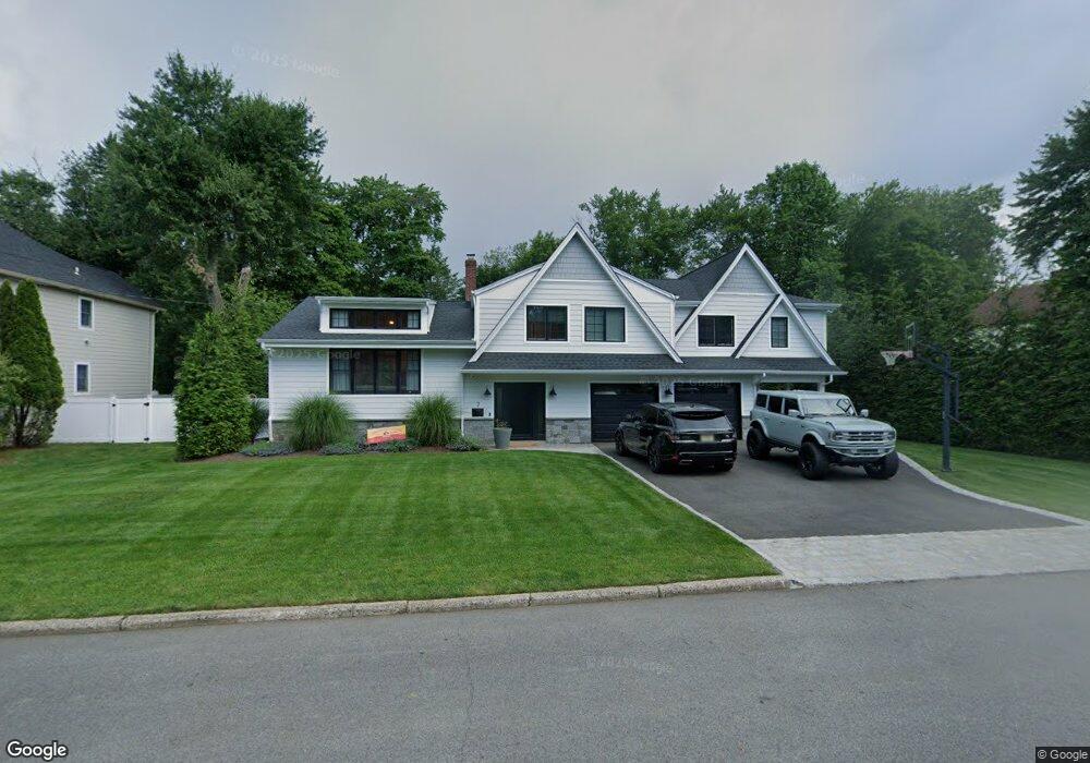
7 Brook Way Demarest, NJ 07627
Estimated Value: $1,129,000 - $1,636,235
Studio
--
Bath
2,764
Sq Ft
$491/Sq Ft
Est. Value
About This Home
This home is located at 7 Brook Way, Demarest, NJ 07627 and is currently estimated at $1,357,809, approximately $491 per square foot. 7 Brook Way is a home located in Bergen County with nearby schools including County Road Elementary School, Demarest Middle School, and Luther Lee Emerson Elementary School.
Ownership History
Date
Name
Owned For
Owner Type
Purchase Details
Closed on
Jun 26, 2013
Sold by
Fallon Raymond and Fallon Barbara A
Bought by
Gerbsman Jason and Gerbsman Angela
Current Estimated Value
Home Financials for this Owner
Home Financials are based on the most recent Mortgage that was taken out on this home.
Original Mortgage
$594,000
Outstanding Balance
$424,632
Interest Rate
3.83%
Mortgage Type
New Conventional
Estimated Equity
$933,177
Purchase Details
Closed on
Aug 22, 2005
Sold by
Sekyra Oldrich
Bought by
Fallon Raymond and Fallon Barbara
Home Financials for this Owner
Home Financials are based on the most recent Mortgage that was taken out on this home.
Original Mortgage
$330,000
Interest Rate
5.81%
Purchase Details
Closed on
Jan 22, 2003
Sold by
Sekyra Oldrich
Bought by
Sekyra Oldrich and Sekyra Ludmila
Create a Home Valuation Report for This Property
The Home Valuation Report is an in-depth analysis detailing your home's value as well as a comparison with similar homes in the area
Home Values in the Area
Average Home Value in this Area
Purchase History
| Date | Buyer | Sale Price | Title Company |
|---|---|---|---|
| Gerbsman Jason | $742,500 | -- | |
| Fallon Raymond | $790,000 | -- | |
| Sekyra Oldrich | -- | -- |
Source: Public Records
Mortgage History
| Date | Status | Borrower | Loan Amount |
|---|---|---|---|
| Open | Gerbsman Jason | $594,000 | |
| Previous Owner | Fallon Raymond | $330,000 |
Source: Public Records
Tax History
| Year | Tax Paid | Tax Assessment Tax Assessment Total Assessment is a certain percentage of the fair market value that is determined by local assessors to be the total taxable value of land and additions on the property. | Land | Improvement |
|---|---|---|---|---|
| 2025 | $20,910 | $1,326,300 | $679,100 | $647,200 |
| 2024 | $19,959 | $684,000 | $407,400 | $276,600 |
| 2023 | $19,419 | $684,000 | $407,400 | $276,600 |
| 2022 | $19,419 | $684,000 | $407,400 | $276,600 |
| 2021 | $18,940 | $684,000 | $407,400 | $276,600 |
| 2020 | $15,307 | $566,100 | $407,400 | $158,700 |
| 2019 | $14,866 | $566,100 | $407,400 | $158,700 |
| 2018 | $14,407 | $566,100 | $407,400 | $158,700 |
| 2017 | $14,062 | $566,100 | $407,400 | $158,700 |
| 2016 | $13,841 | $566,100 | $407,400 | $158,700 |
| 2015 | $13,654 | $566,100 | $407,400 | $158,700 |
| 2014 | $13,360 | $566,100 | $407,400 | $158,700 |
Source: Public Records
Map
Nearby Homes
- 11 Brook Way
- 107 County Rd
- 8 Evergreen Place
- 8 Brook Way
- 12 Evergreen Place
- 4 Evergreen Place
- 4 Brook Way
- 15 Brook Way
- 14 Brook Way
- 16 Evergreen Place
- 106 County Rd
- 114 County Rd
- 19 Brook Way
- 18 Brook Way
- 11 Evergreen Place
- 20 Evergreen Place
- 118 County Rd
- 102 County Rd
- 95 County Rd
- 7 Evergreen Place
Your Personal Tour Guide
Ask me questions while you tour the home.