7 Brooks Hill Rd Lincoln, MA 01773
Estimated Value: $1,354,000 - $1,692,000
4
Beds
3
Baths
3,268
Sq Ft
$478/Sq Ft
Est. Value
About This Home
This home is located at 7 Brooks Hill Rd, Lincoln, MA 01773 and is currently estimated at $1,563,037, approximately $478 per square foot. 7 Brooks Hill Rd is a home located in Middlesex County with nearby schools including Lincoln-Sudbury Regional High School, Tremont School, and Concord Academy.
Ownership History
Date
Name
Owned For
Owner Type
Purchase Details
Closed on
Jul 18, 2012
Sold by
Herlacher Larry R and Herlacher Jane B
Bought by
Jane B Herlacher 2012R
Current Estimated Value
Purchase Details
Closed on
May 20, 1986
Bought by
Herlacher Ft
Create a Home Valuation Report for This Property
The Home Valuation Report is an in-depth analysis detailing your home's value as well as a comparison with similar homes in the area
Home Values in the Area
Average Home Value in this Area
Purchase History
| Date | Buyer | Sale Price | Title Company |
|---|---|---|---|
| Jane B Herlacher 2012R | -- | -- | |
| Herlacher Ft | $495,000 | -- |
Source: Public Records
Mortgage History
| Date | Status | Borrower | Loan Amount |
|---|---|---|---|
| Previous Owner | Herlacher Ft | $87,000 | |
| Previous Owner | Herlacher Ft | $100,000 |
Source: Public Records
Tax History Compared to Growth
Tax History
| Year | Tax Paid | Tax Assessment Tax Assessment Total Assessment is a certain percentage of the fair market value that is determined by local assessors to be the total taxable value of land and additions on the property. | Land | Improvement |
|---|---|---|---|---|
| 2025 | $181 | $1,414,100 | $943,100 | $471,000 |
| 2024 | $17,878 | $1,387,000 | $922,900 | $464,100 |
| 2023 | $16,865 | $1,211,600 | $750,900 | $460,700 |
| 2022 | $16,380 | $1,097,100 | $695,700 | $401,400 |
| 2021 | $16,203 | $1,044,000 | $650,900 | $393,100 |
| 2020 | $16,351 | $1,064,500 | $674,900 | $389,600 |
| 2019 | $14,470 | $1,022,700 | $657,300 | $365,400 |
| 2018 | $13,909 | $1,022,700 | $657,300 | $365,400 |
| 2017 | $13,778 | $1,005,700 | $650,900 | $354,800 |
| 2016 | $13,714 | $980,300 | $632,500 | $347,800 |
| 2015 | $13,165 | $930,400 | $586,100 | $344,300 |
| 2014 | $12,486 | $866,500 | $546,900 | $319,600 |
Source: Public Records
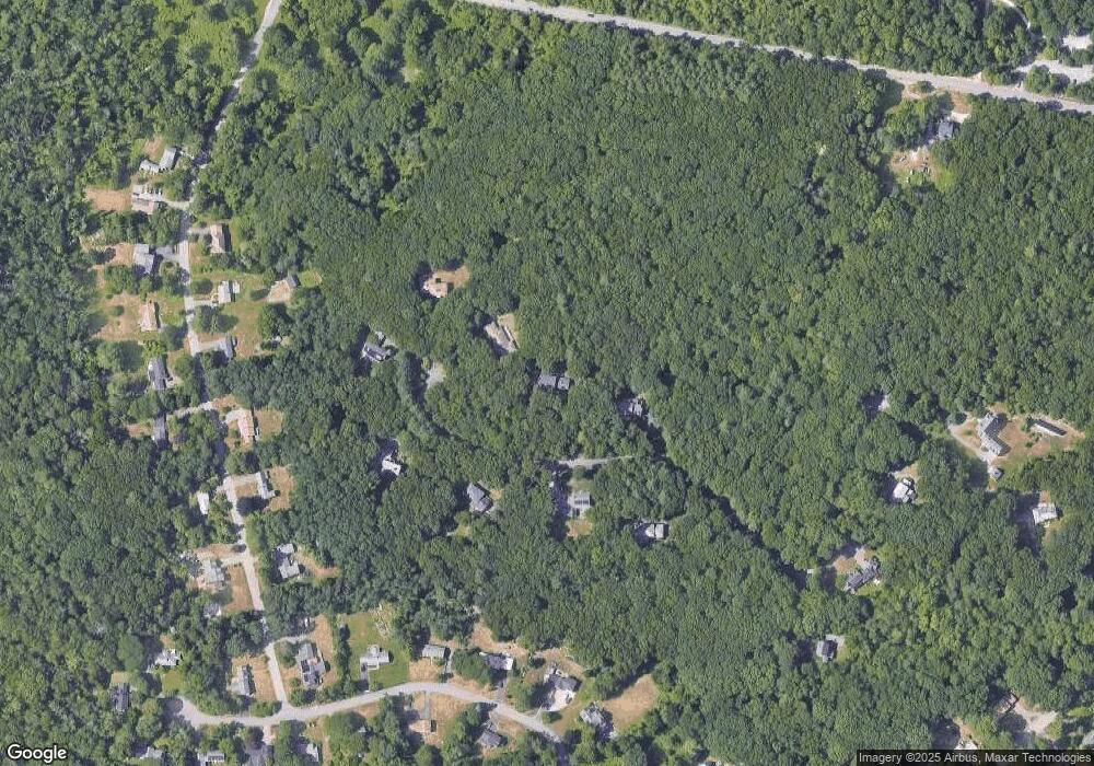
Map
Nearby Homes
- 29 S Commons Unit D
- 5 South Commons Unit D
- 36 Indian Camp Ln Unit D
- 16 Old Cambridge Turnpike
- 22 Old Cambridge Turnpike
- 241 Shadyside Ave
- 646 Cambridge Turnpike
- 9 Garland Rd
- 10 Reiling Pond Rd
- 84 Davison Dr
- 69 Page Rd
- 22 Lincoln Rd
- 16 Hatch Farm Ln
- 10 Hatch Farm Ln
- 28 Hatch Farm Ln
- 644 Old Bedford Rd
- 6 Parker Rd
- 7 Blue Heron Way
- 96 Independence Rd
- 60 Baker Bridge Rd
- 9 Brooks Hill Rd
- 5 Brooks Hill Rd
- 6 Brooks Hill Rd
- 11 Brooks Hill Rd
- 8 Brooks Hill Rd
- 4 Brooks Hill Rd
- 12 Brooks Hill Rd
- 10 Brooks Hill Rd
- 19 Morningside Ln
- 25 Morningside Ln
- 11 Sunnyside Ln
- 23 Morningside Ln
- 27 Morningside Ln
- 7 Sunnyside Ln
- 17 Morningside Ln
- 21 Bedford Ln
- 21 Sunnyside Ln
- 27 Bedford Ln
- 20 Morningside Ln
- 17 Bedford Ln