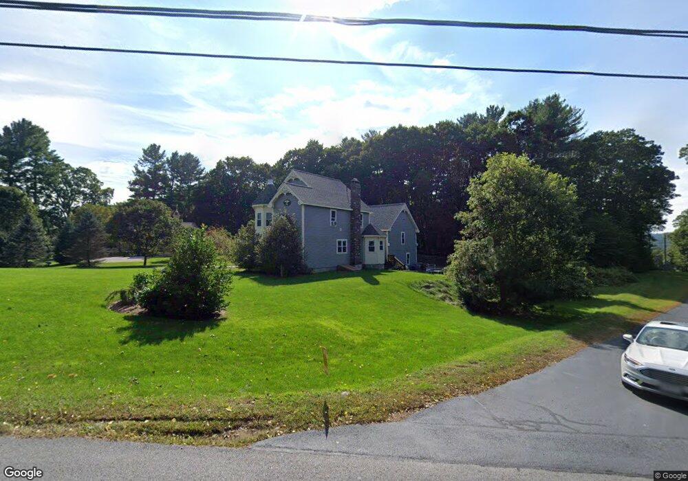
7 Brooks Pond Rd Spencer, MA 01562
Estimated Value: $436,000 - $566,000
2
Beds
2
Baths
1,839
Sq Ft
$281/Sq Ft
Est. Value
About This Home
This home is located at 7 Brooks Pond Rd, Spencer, MA 01562 and is currently estimated at $516,820, approximately $281 per square foot. 7 Brooks Pond Rd is a home with nearby schools including David Prouty High School.
Ownership History
Date
Name
Owned For
Owner Type
Purchase Details
Closed on
Feb 22, 2021
Sold by
Richardson Corin M
Bought by
Richardson Scott P
Current Estimated Value
Purchase Details
Closed on
Aug 25, 2014
Sold by
Richardson Donald J and Richardson Janet B
Bought by
Richardson Scott P and Richardson Corin M
Home Financials for this Owner
Home Financials are based on the most recent Mortgage that was taken out on this home.
Original Mortgage
$220,150
Interest Rate
4.14%
Mortgage Type
New Conventional
Create a Home Valuation Report for This Property
The Home Valuation Report is an in-depth analysis detailing your home's value as well as a comparison with similar homes in the area
Home Values in the Area
Average Home Value in this Area
Purchase History
| Date | Buyer | Sale Price | Title Company |
|---|---|---|---|
| Richardson Scott P | -- | None Available | |
| Richardson Scott P | $50,000 | -- |
Source: Public Records
Mortgage History
| Date | Status | Borrower | Loan Amount |
|---|---|---|---|
| Previous Owner | Richardson Scott P | $220,150 |
Source: Public Records
Tax History Compared to Growth
Tax History
| Year | Tax Paid | Tax Assessment Tax Assessment Total Assessment is a certain percentage of the fair market value that is determined by local assessors to be the total taxable value of land and additions on the property. | Land | Improvement |
|---|---|---|---|---|
| 2025 | $55 | $466,600 | $62,100 | $404,500 |
| 2024 | $5,111 | $446,800 | $62,100 | $384,700 |
| 2023 | $4,838 | $401,200 | $62,100 | $339,100 |
| 2022 | $4,882 | $371,000 | $57,200 | $313,800 |
| 2021 | $4,698 | $334,600 | $57,200 | $277,400 |
| 2020 | $4,364 | $309,100 | $57,200 | $251,900 |
| 2019 | $4,065 | $293,300 | $52,900 | $240,400 |
| 2018 | $4,023 | $299,800 | $59,400 | $240,400 |
| 2017 | $3,959 | $283,200 | $57,200 | $226,000 |
| 2016 | $3,454 | $241,700 | $57,200 | $184,500 |
| 2015 | $849 | $62,100 | $62,100 | $0 |
| 2014 | $817 | $62,100 | $62,100 | $0 |
Source: Public Records
Map
Nearby Homes
- 111 Northwest Rd
- 13 Washburn Terrace
- 18 B N Spencer Rd
- 15 Northwest Rd
- 50-52 & N Spencer
- 61 Hillsville and Spencer Rd
- 196 N Spencer Rd
- 6 Eagleton St
- 4 Eagleton St
- 72 Wire Village Rd
- 157 School St
- 76 N Brookfield Rd
- 241 N Brookfield Rd
- 16 Old Farm Rd
- 30 Grant St
- 10 Rufus Putnam Rd
- 108 Paxton Rd
- 8 Wilson St
- 130 Paxton Rd
- 101 School St
- lot 11 Brooks Pond Rd
- 0 Brooks Pond Rd (Small Parcel)
- 0 Brooks Pond Rd (Large Parcel)
- 0 Brooks Pond Rd (Entire Parcel)
- 9 Brooks Pond Rd
- 18 Brooks Pond Rd
- 105 Northwest Rd
- 22 Brooks Pond Rd
- 83 Northwest Rd
- 19 Brooks Pond Rd
- 20 Brooks Pond Rd
- 32 Brooks Pond Rd
- 4 Kittredge Rd
- 2 Kittredge Rd
- 82 Northwest Rd
- 8 Kittredge Rd
- 3 Kittredge Rd
- 0 Northwest Rd
- Lot 2 & 3 Northwest Rd
- 10 Kittredge Rd