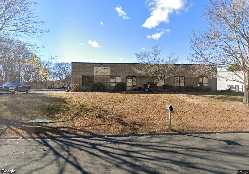
7 Capitol Dr East Lyme, CT 06333
Estimated Value: $1,765,188
--
Bed
2
Baths
14,845
Sq Ft
$119/Sq Ft
Est. Value
About This Home
This home is located at 7 Capitol Dr, East Lyme, CT 06333 and is currently estimated at $1,765,188, approximately $118 per square foot. 7 Capitol Dr is a home located in New London County with nearby schools including East Lyme Middle School, East Lyme High School, and Carelot Children's Center - East Lyme.
Ownership History
Date
Name
Owned For
Owner Type
Purchase Details
Closed on
Jul 9, 2015
Sold by
Brown & Dunphy Partners
Bought by
North Road Properties
Current Estimated Value
Home Financials for this Owner
Home Financials are based on the most recent Mortgage that was taken out on this home.
Original Mortgage
$700,000
Outstanding Balance
$271,095
Interest Rate
3.87%
Mortgage Type
Commercial
Estimated Equity
$1,494,093
Create a Home Valuation Report for This Property
The Home Valuation Report is an in-depth analysis detailing your home's value as well as a comparison with similar homes in the area
Home Values in the Area
Average Home Value in this Area
Purchase History
| Date | Buyer | Sale Price | Title Company |
|---|---|---|---|
| North Road Properties | $875,000 | -- |
Source: Public Records
Mortgage History
| Date | Status | Borrower | Loan Amount |
|---|---|---|---|
| Open | North Road Properties | $700,000 | |
| Previous Owner | North Road Properties | $90,000 |
Source: Public Records
Tax History Compared to Growth
Tax History
| Year | Tax Paid | Tax Assessment Tax Assessment Total Assessment is a certain percentage of the fair market value that is determined by local assessors to be the total taxable value of land and additions on the property. | Land | Improvement |
|---|---|---|---|---|
| 2025 | $19,648 | $701,470 | $181,090 | $520,380 |
| 2024 | $18,484 | $701,470 | $181,090 | $520,380 |
| 2023 | $17,453 | $701,470 | $181,090 | $520,380 |
| 2022 | $16,723 | $701,470 | $181,090 | $520,380 |
| 2021 | $16,782 | $588,630 | $136,360 | $452,270 |
| 2020 | $16,694 | $588,630 | $136,360 | $452,270 |
| 2019 | $16,593 | $588,630 | $136,360 | $452,270 |
| 2018 | $16,099 | $588,630 | $136,360 | $452,270 |
| 2017 | $15,399 | $588,630 | $136,360 | $452,270 |
| 2016 | $15,709 | $619,430 | $126,350 | $493,080 |
| 2015 | $15,306 | $619,430 | $126,350 | $493,080 |
| 2014 | $14,885 | $619,430 | $126,350 | $493,080 |
Source: Public Records
Map
Nearby Homes
- 14 Colton Rd
- 188 4 Mile River Rd
- 4 Jean Dr
- 15 Freedom Way Unit 92
- 18 Twin Valley Rd
- 3 Twin Valley Rd
- 16 Twin Valley Rd
- Waramaug Plan at Riverside Reserve
- Highland Plan at Riverside Reserve
- Hayward Plan at Riverside Reserve
- Ashford Plan at Riverside Reserve
- Lillinonah Plan at Riverside Reserve
- 2 Riverdale Landing
- 15 Short Hills Rd
- 23 Over Brook Rd
- 22 Riverdale Landing
- 57 Spring Rock Rd
- 40 Spinnaker Dr
- 55 Corey Ln
- 78 Corey Ln Unit 9
- 11 Capitol Dr
- 53 Four Mile River Rd
- 53 Four Mile River Rd
- 6 Capitol Dr
- 15 Capitol Dr
- 49 Four Mile River Rd
- 0 Capitol Dr Unit E10203002
- 57 4 Mile River Rd
- 57 Four Mile River Rd
- 60 Four Mile River Rd
- 62 Four Mile River Rd
- 8 Colton Rd
- 64C Four Mile River Rd
- 66 Four Mile River Rd
- 47 Four Mile River Rd
- 47 4 Mile River Rd
- 13 Colton Rd
- 68 Four Mile River Rd
- 66 4 Mile River Rd
- 56 Four Mile River Rd