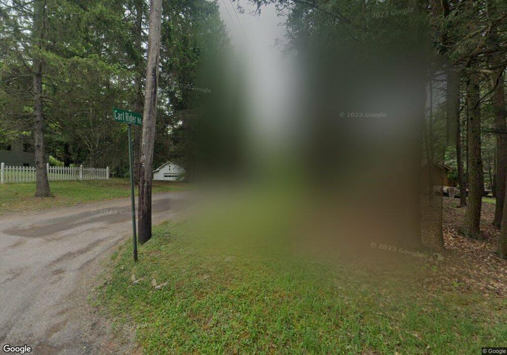
7 Carl Rd Muncy Valley, PA 17758
Estimated Value: $114,749 - $150,000
2
Beds
1
Bath
572
Sq Ft
$239/Sq Ft
Est. Value
About This Home
This home is located at 7 Carl Rd, Muncy Valley, PA 17758 and is currently estimated at $136,687, approximately $238 per square foot. 7 Carl Rd is a home with nearby schools including Sullivan County Elementary School and Sullivan County High School.
Ownership History
Date
Name
Owned For
Owner Type
Purchase Details
Closed on
May 18, 2013
Sold by
Layton Sandra J and Brown Joy Appel
Bought by
Henning Kevin J and Delpier Michele Y
Current Estimated Value
Home Financials for this Owner
Home Financials are based on the most recent Mortgage that was taken out on this home.
Original Mortgage
$60,000
Outstanding Balance
$13,036
Interest Rate
3.43%
Mortgage Type
Commercial
Estimated Equity
$123,651
Create a Home Valuation Report for This Property
The Home Valuation Report is an in-depth analysis detailing your home's value as well as a comparison with similar homes in the area
Home Values in the Area
Average Home Value in this Area
Purchase History
| Date | Buyer | Sale Price | Title Company |
|---|---|---|---|
| Henning Kevin J | $75,000 | None Available |
Source: Public Records
Mortgage History
| Date | Status | Borrower | Loan Amount |
|---|---|---|---|
| Open | Henning Kevin J | $60,000 |
Source: Public Records
Tax History Compared to Growth
Tax History
| Year | Tax Paid | Tax Assessment Tax Assessment Total Assessment is a certain percentage of the fair market value that is determined by local assessors to be the total taxable value of land and additions on the property. | Land | Improvement |
|---|---|---|---|---|
| 2025 | $796 | $38,700 | $15,300 | $23,400 |
| 2024 | $766 | $38,700 | $15,300 | $23,400 |
| 2023 | $725 | $38,700 | $15,300 | $23,400 |
| 2022 | $725 | $38,700 | $15,300 | $23,400 |
| 2021 | $192 | $38,700 | $15,300 | $23,400 |
| 2020 | $698 | $38,700 | $15,300 | $23,400 |
| 2019 | $683 | $38,700 | $15,300 | $23,400 |
| 2017 | $662 | $38,700 | $15,300 | $23,400 |
| 2015 | $449 | $38,700 | $15,300 | $23,400 |
| 2014 | $449 | $38,700 | $15,300 | $23,400 |
| 2012 | $449 | $38,700 | $15,300 | $23,400 |
Source: Public Records
Map
Nearby Homes
- 72 Carl Rd
- 13 Thorne St
- 0 Pole Bridge Rd Unit LOT 39 WB-100451
- 0 Pole Bridge Rd Unit LOT 38 WB-100450
- 0 Pole Bridge Rd Unit LOT 37 WB-100448
- 95 Mokoma Ave
- 45 Thumma Rd
- 126 James Rd
- 5240 U S 220
- 108 Stansfield Rd
- 30 Hemlock Dr
- 66 Raspberry Ridge
- 8028 U S 220
- LOT 21 Rocky Road Ln
- Lot 24 Cavanaugh Rd
- 49 Bear Run Ln
- 1146 Eagle Rock Rd
- PARCEL 108.A Mountain Rd
- 900 Christian Camp Rd
- 2247 Nordmont Rd
- 200 Route 154
- 244 Pennsylvania 154
- 195 Route 154
- 154 Pennsylvania 154
- 270 Route 154
- 229 154 Route
- 175 Woodland Trail
- 155 Woodland Trail
- 77 Carl Rd
- 119 Stonehedge Ln
- 229 Route 154 N
- 229 Route 154
- 148 Woodland Trail
- 342 Route 154
- 52 Pennsylvania 154
- 91 Woodland Trail
- 111 Pennsylvania 154
- 209 Thorne St
- 10 Old Farm Rd
- 26 Soloman Rd Unit 14D
