7 Carlisle Ln Niantic, CT 06357
Estimated Value: $587,000 - $733,000
3
Beds
3
Baths
2,221
Sq Ft
$290/Sq Ft
Est. Value
About This Home
This home is located at 7 Carlisle Ln, Niantic, CT 06357 and is currently estimated at $643,141, approximately $289 per square foot. 7 Carlisle Ln is a home located in New London County with nearby schools including East Lyme Middle School, East Lyme High School, and Carelot Children's Center - East Lyme.
Ownership History
Date
Name
Owned For
Owner Type
Purchase Details
Closed on
Apr 2, 2024
Sold by
Rogers David G and Rogers Martha C
Bought by
Scott G Campbell T G and Scott Campbell
Current Estimated Value
Purchase Details
Closed on
Sep 19, 2011
Sold by
Ridolfi Eugene F
Bought by
Ridolfi Lynette T
Purchase Details
Closed on
Oct 20, 2009
Sold by
Schiavone Steven
Bought by
Ridolfi Eugene and Ridolfi Lynette
Create a Home Valuation Report for This Property
The Home Valuation Report is an in-depth analysis detailing your home's value as well as a comparison with similar homes in the area
Home Values in the Area
Average Home Value in this Area
Purchase History
| Date | Buyer | Sale Price | Title Company |
|---|---|---|---|
| Scott G Campbell T G | $625,000 | None Available | |
| Scott G Campbell T G | $625,000 | None Available | |
| Ridolfi Lynette T | -- | -- | |
| Ridolfi Lynette T | -- | -- | |
| Ridolfi Eugene | $321,500 | -- | |
| Ridolfi Eugene | $321,500 | -- |
Source: Public Records
Mortgage History
| Date | Status | Borrower | Loan Amount |
|---|---|---|---|
| Previous Owner | Ridolfi Eugene | $100,000 |
Source: Public Records
Tax History Compared to Growth
Tax History
| Year | Tax Paid | Tax Assessment Tax Assessment Total Assessment is a certain percentage of the fair market value that is determined by local assessors to be the total taxable value of land and additions on the property. | Land | Improvement |
|---|---|---|---|---|
| 2025 | $7,823 | $279,300 | $0 | $279,300 |
| 2024 | $7,360 | $279,300 | $0 | $279,300 |
| 2023 | $6,949 | $279,300 | $0 | $279,300 |
| 2022 | $6,659 | $279,300 | $0 | $279,300 |
| 2021 | $6,454 | $226,380 | $0 | $226,380 |
| 2020 | $6,420 | $226,380 | $0 | $226,380 |
| 2019 | $6,382 | $226,380 | $0 | $226,380 |
| 2018 | $6,191 | $226,380 | $0 | $226,380 |
| 2017 | $5,922 | $226,380 | $0 | $226,380 |
| 2016 | $5,233 | $206,360 | $0 | $206,360 |
| 2015 | $5,099 | $206,360 | $0 | $206,360 |
| 2014 | $4,959 | $206,360 | $0 | $206,360 |
Source: Public Records
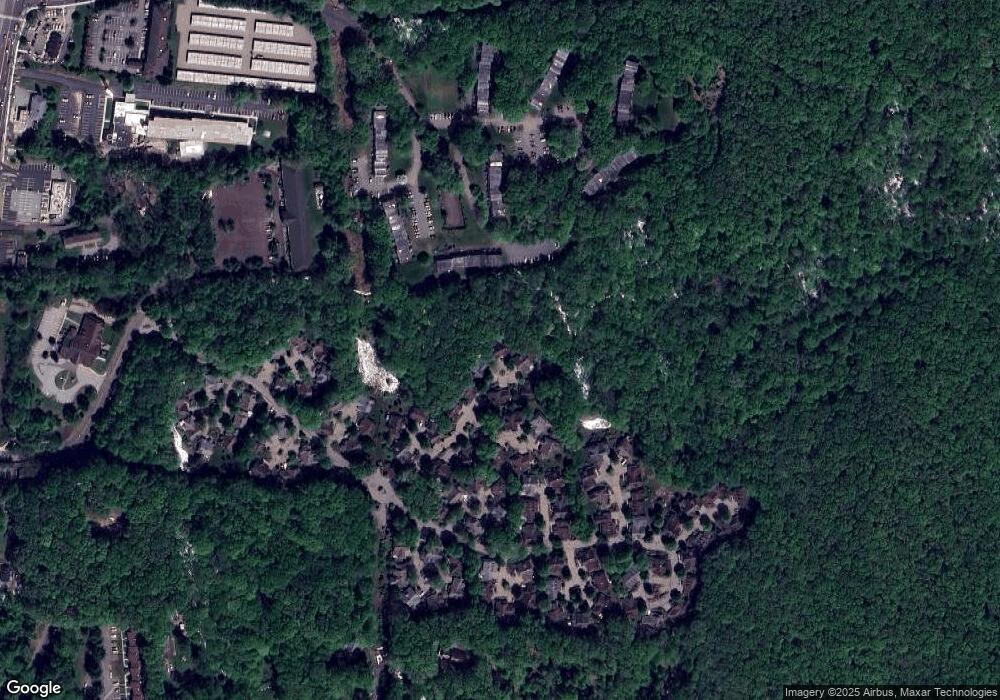
Map
Nearby Homes
- 5 Carlisle Ln
- 5 Crabapple Ln
- 156 Flanders Rd
- 138 Boston Post Rd Unit 10
- 138 Boston Post Rd Unit 11
- 138 Boston Post Rd Unit 16
- 138 Boston Post Rd Unit 15
- 138 Boston Post Rd Unit 17
- 138 Boston Post Rd Unit 3
- 10 S Ledge Rock Rd
- 163 Oswegatchie Rd
- 72 Society Rd
- 91 Riverview Rd Unit 7B
- 13 Charter Oak Dr
- 139 Oswegatchie Rd
- 28 Alexander Dr
- 231 Boston Post Rd Unit 9
- 32 Upper Pattagansett Rd Unit 8
- 50 Gurley Rd
- 18 Sandpiper Ln
- 7 Carlisle Ln Unit 7
- 1 Carlisle Ln
- 4 Carlisle Ln
- 3 Carlisle Ln
- 2 Amberly Ln
- 2 Carlisle Ln
- 11 King Arthur Dr Unit 1C
- 11 King Arthur Dr Unit 7F
- 11 King Arthur Dr Unit 5B
- 11 King Arthur Dr Unit 4G
- 11 King Arthur Dr Unit 8H
- 11 King Arthur Dr Unit 6F
- 11 King Arthur Dr Unit 1H
- 11 King Arthur Dr Unit 5H
- 11 King Arthur Dr Unit 8M
- 11 King Arthur Dr Unit 3B
- 11 King Arthur Dr Unit 4E
- 11 King Arthur Dr Unit 4J
- 11 King Arthur Dr Unit 4C
- 11 King Arthur Dr Unit 6B