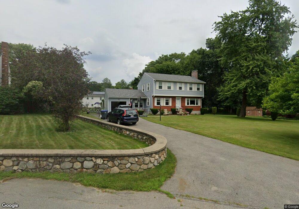
7 Carriage Way Methuen, MA 01844
The East End NeighborhoodEstimated Value: $599,000 - $716,000
4
Beds
3
Baths
2,400
Sq Ft
$272/Sq Ft
Est. Value
About This Home
This home is located at 7 Carriage Way, Methuen, MA 01844 and is currently estimated at $653,548, approximately $272 per square foot. 7 Carriage Way is a home located in Essex County with nearby schools including Timony Grammar School, Methuen High School, and Community Day Charter Public School - Gateway.
Ownership History
Date
Name
Owned For
Owner Type
Purchase Details
Closed on
Jun 9, 2025
Sold by
Buchanan Jason
Bought by
Ferrari Colleen M and Ferrari Leonard J
Current Estimated Value
Purchase Details
Closed on
Aug 30, 2001
Sold by
Prince Rosalie M
Bought by
Scharf Eric and Scharf Sherri
Home Financials for this Owner
Home Financials are based on the most recent Mortgage that was taken out on this home.
Original Mortgage
$217,200
Interest Rate
7.06%
Mortgage Type
Purchase Money Mortgage
Purchase Details
Closed on
Jul 15, 1996
Sold by
Fritz Jeffrey A
Bought by
Prince Rosalie M
Purchase Details
Closed on
Jul 31, 1992
Sold by
Pane Joseph A
Bought by
Mccarthy John
Create a Home Valuation Report for This Property
The Home Valuation Report is an in-depth analysis detailing your home's value as well as a comparison with similar homes in the area
Home Values in the Area
Average Home Value in this Area
Purchase History
| Date | Buyer | Sale Price | Title Company |
|---|---|---|---|
| Ferrari Colleen M | $595,000 | None Available | |
| Ferrari Colleen M | $595,000 | None Available | |
| Ferrari Colleen M | $595,000 | None Available | |
| Scharf Eric | $271,500 | -- | |
| Scharf Eric | $271,500 | -- | |
| Prince Rosalie M | $173,500 | -- | |
| Prince Rosalie M | $173,500 | -- | |
| Mccarthy John | $17,000 | -- | |
| Mccarthy John | $17,000 | -- |
Source: Public Records
Mortgage History
| Date | Status | Borrower | Loan Amount |
|---|---|---|---|
| Previous Owner | Mccarthy John | $217,200 |
Source: Public Records
Tax History Compared to Growth
Tax History
| Year | Tax Paid | Tax Assessment Tax Assessment Total Assessment is a certain percentage of the fair market value that is determined by local assessors to be the total taxable value of land and additions on the property. | Land | Improvement |
|---|---|---|---|---|
| 2025 | $6,143 | $580,600 | $226,500 | $354,100 |
| 2024 | $6,113 | $562,900 | $205,900 | $357,000 |
| 2023 | $5,899 | $504,200 | $183,900 | $320,300 |
| 2022 | $5,508 | $422,100 | $147,100 | $275,000 |
| 2021 | $5,184 | $393,000 | $139,700 | $253,300 |
| 2020 | $5,137 | $382,200 | $139,700 | $242,500 |
| 2019 | $5,096 | $359,100 | $132,400 | $226,700 |
| 2018 | $4,966 | $348,000 | $132,400 | $215,600 |
| 2017 | $4,824 | $329,300 | $132,400 | $196,900 |
| 2016 | $4,821 | $325,500 | $132,400 | $193,100 |
| 2015 | $4,600 | $315,100 | $132,400 | $182,700 |
Source: Public Records
Map
Nearby Homes
- 4 Alderbrook Ln
- 63 Lippold St
- 5 Harmony Ln
- 24 Court St
- 15 Swan Ave
- 35 Swan Ave
- 24 Boylston St
- 9 Boylston St
- 29 Meadowbrook Rd
- 3 Woekel Terrace
- 37 Albion St
- 43 Duston Dr
- 68 Wesley St
- 3 Thissell St
- 167 Ferry 53 Mann St Unit 2,5,6
- 106 Leroy Ave
- 35 Kendall St
- 20 Knox St Unit 43
- 20 Knox St Unit 23
- 6 Longwood Dr