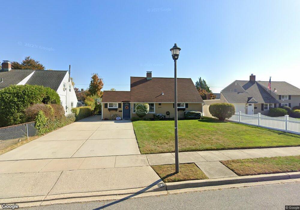
7 Celestial Ln Levittown, NY 11756
Estimated Value: $609,000 - $687,002
4
Beds
3
Baths
1,480
Sq Ft
$438/Sq Ft
Est. Value
About This Home
This home is located at 7 Celestial Ln, Levittown, NY 11756 and is currently estimated at $648,001, approximately $437 per square foot. 7 Celestial Ln is a home located in Nassau County with nearby schools including J Fred Sparke Elementary School, Michael F. Stokes Elementary School, and Island Trees Middle School.
Ownership History
Date
Name
Owned For
Owner Type
Purchase Details
Closed on
Jun 9, 2016
Sold by
Dileo Maryanne and Konstantatos Susan
Bought by
Blue Marsha and Jones Neiaffa
Current Estimated Value
Home Financials for this Owner
Home Financials are based on the most recent Mortgage that was taken out on this home.
Original Mortgage
$279,600
Interest Rate
3.57%
Mortgage Type
VA
Purchase Details
Closed on
Oct 17, 2014
Sold by
Mcgurl Thomas
Bought by
Storms Sandra and Mcgurl Thomas
Purchase Details
Closed on
Jan 8, 2004
Sold by
Mcgurl Doris
Create a Home Valuation Report for This Property
The Home Valuation Report is an in-depth analysis detailing your home's value as well as a comparison with similar homes in the area
Home Values in the Area
Average Home Value in this Area
Purchase History
| Date | Buyer | Sale Price | Title Company |
|---|---|---|---|
| Blue Marsha | $290,000 | Skyline Title | |
| Storms Sandra | -- | Abstracts Incorporated | |
| -- | -- | -- |
Source: Public Records
Mortgage History
| Date | Status | Borrower | Loan Amount |
|---|---|---|---|
| Previous Owner | Blue Marsha | $279,600 |
Source: Public Records
Tax History
| Year | Tax Paid | Tax Assessment Tax Assessment Total Assessment is a certain percentage of the fair market value that is determined by local assessors to be the total taxable value of land and additions on the property. | Land | Improvement |
|---|---|---|---|---|
| 2025 | $10,240 | $426 | $210 | $216 |
| 2024 | $3,793 | $422 | $208 | $214 |
| 2023 | $10,263 | $439 | $216 | $223 |
| 2022 | $10,263 | $439 | $216 | $223 |
| 2021 | $13,446 | $431 | $212 | $219 |
| 2020 | $10,200 | $637 | $415 | $222 |
| 2019 | $10,325 | $759 | $528 | $231 |
| 2018 | $11,790 | $759 | $0 | $0 |
| 2017 | $6,997 | $759 | $528 | $231 |
| 2016 | $11,019 | $759 | $528 | $231 |
| 2015 | -- | $759 | $528 | $231 |
| 2014 | -- | $759 | $528 | $231 |
| 2013 | $2,139 | $759 | $528 | $231 |
Source: Public Records
Map
Nearby Homes
- 2 Jupiter Ln
- 190 Meridian Rd
- 43 Farmedge Rd
- 22 Mercury Ln
- 148 Meridian Rd
- 143 Farmedge Rd
- 48 Bloomingdale Rd
- 56 Jester Ln
- 472 Farmranch Rd E
- 180 N Wantagh Ave
- 7 Lowland Rd
- 101 Constellation Rd
- 94 Mallard Rd
- 33 Prentice Rd
- 35 Lowland Rd
- 3597 Martha Blvd
- 107 Cardinal Rd
- 3591 Fiddler Ln
- 25 Gleaner Ln
- 3643 Courtney Ln
Your Personal Tour Guide
Ask me questions while you tour the home.