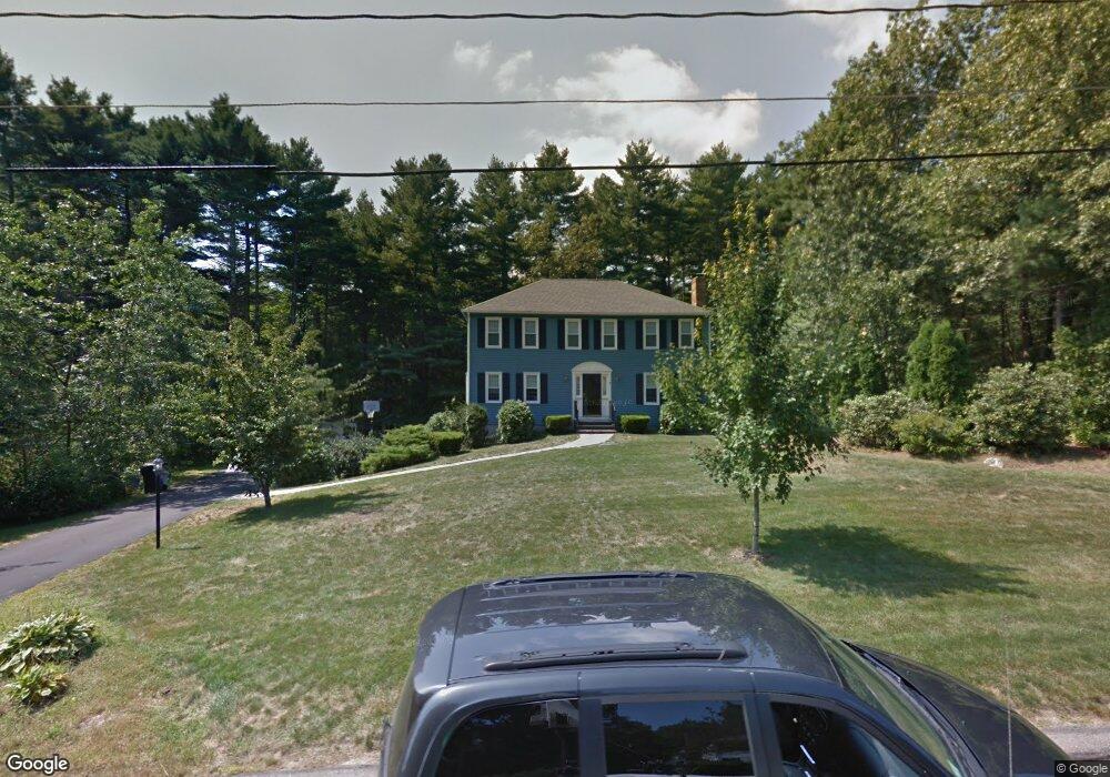
7 Chickadee Dr Norfolk, MA 02056
Estimated Value: $786,402 - $921,000
4
Beds
3
Baths
2,150
Sq Ft
$386/Sq Ft
Est. Value
About This Home
This home is located at 7 Chickadee Dr, Norfolk, MA 02056 and is currently estimated at $828,851, approximately $385 per square foot. 7 Chickadee Dr is a home located in Norfolk County with nearby schools including H. Olive Day School, Freeman-Kennedy School, and Woodside Montessori Academy.
Ownership History
Date
Name
Owned For
Owner Type
Purchase Details
Closed on
Jun 30, 1998
Sold by
Cummings Steven T and Cummings Jeanne M
Bought by
Campbell John F and Campbell Christina L
Current Estimated Value
Home Financials for this Owner
Home Financials are based on the most recent Mortgage that was taken out on this home.
Original Mortgage
$198,400
Interest Rate
7.09%
Mortgage Type
Purchase Money Mortgage
Purchase Details
Closed on
Dec 15, 1994
Sold by
Yates Gregory S and Yates Catherine C
Bought by
Cummings Steven T and Cummings Jeanne M
Home Financials for this Owner
Home Financials are based on the most recent Mortgage that was taken out on this home.
Original Mortgage
$237,500
Interest Rate
9.03%
Mortgage Type
Purchase Money Mortgage
Purchase Details
Closed on
Jun 21, 1991
Sold by
Fleming Francis J and Fleming Mary E
Bought by
Yates Gregory S and Yates Catherine C
Create a Home Valuation Report for This Property
The Home Valuation Report is an in-depth analysis detailing your home's value as well as a comparison with similar homes in the area
Home Values in the Area
Average Home Value in this Area
Purchase History
| Date | Buyer | Sale Price | Title Company |
|---|---|---|---|
| Campbell John F | $273,000 | -- | |
| Cummings Steven T | $250,000 | -- | |
| Yates Gregory S | $226,350 | -- |
Source: Public Records
Mortgage History
| Date | Status | Borrower | Loan Amount |
|---|---|---|---|
| Open | Yates Gregory S | $137,600 | |
| Closed | Yates Gregory S | $198,400 | |
| Previous Owner | Yates Gregory S | $237,500 |
Source: Public Records
Tax History
| Year | Tax Paid | Tax Assessment Tax Assessment Total Assessment is a certain percentage of the fair market value that is determined by local assessors to be the total taxable value of land and additions on the property. | Land | Improvement |
|---|---|---|---|---|
| 2025 | $10,186 | $637,800 | $198,300 | $439,500 |
| 2024 | $9,843 | $632,200 | $213,800 | $418,400 |
| 2023 | $9,414 | $573,700 | $213,800 | $359,900 |
| 2022 | $8,885 | $488,200 | $200,400 | $287,800 |
| 2021 | $8,813 | $489,900 | $207,400 | $282,500 |
| 2020 | $9,225 | $494,900 | $208,500 | $286,400 |
| 2019 | $8,894 | $486,300 | $208,500 | $277,800 |
| 2018 | $8,755 | $470,200 | $218,100 | $252,100 |
| 2017 | $8,625 | $473,400 | $218,100 | $255,300 |
| 2016 | $8,711 | $481,800 | $232,000 | $249,800 |
| 2015 | $8,320 | $471,100 | $218,100 | $253,000 |
| 2014 | $8,119 | $465,800 | $218,100 | $247,700 |
Source: Public Records
Map
Nearby Homes
- 23 Fredrickson Rd
- 8 Ridgefield Rd
- 45 Joshua Rd
- 7 Keeney Pond Rd
- 246 Forest Grove Ave
- 0 Toils End Rd
- 19 Waites Crossing
- 13 Waites Crossing
- 16 Keeney Pond Rd
- 0 W Birch Rd
- 292 Main St
- 50 Reed Fulton Ave Unit Lot 61
- 14 Waites Crossing
- 45 Meetinghouse Rd Unit 45
- 9 Elliot Mills Unit 5
- 8 Elliot Mills Unit 30
- 5 Elliot Mills Unit 3
- 7 Elliot Mills Unit 4
- 10 Elliot Mills Unit 29
- 3 Elliot Mills Unit 2
Your Personal Tour Guide
Ask me questions while you tour the home.