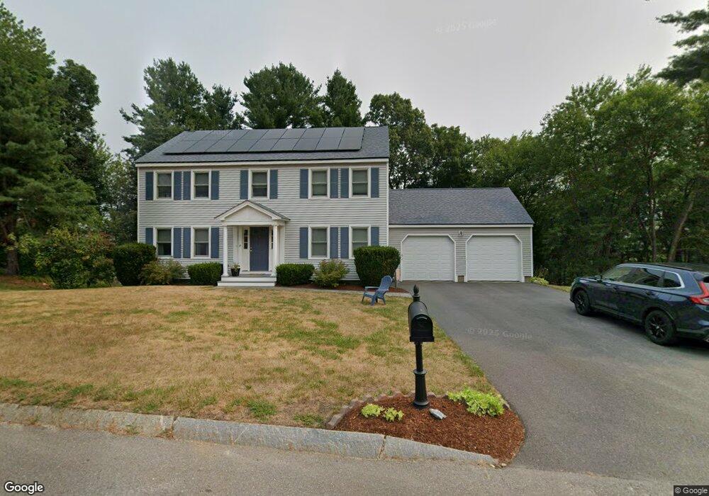
7 Chicory Rd Westford, MA 01886
Estimated Value: $865,507 - $1,231,000
4
Beds
3
Baths
1,976
Sq Ft
$523/Sq Ft
Est. Value
About This Home
This home is located at 7 Chicory Rd, Westford, MA 01886 and is currently estimated at $1,033,377, approximately $522 per square foot. 7 Chicory Rd is a home located in Middlesex County with nearby schools including Col John Robinson, John A. Crisafulli Elementary School, and Blanchard Middle School.
Ownership History
Date
Name
Owned For
Owner Type
Purchase Details
Closed on
Oct 30, 1995
Sold by
Godbole Uday and Godbole Swati
Bought by
Bodi John F and Bodi Elizabeth
Current Estimated Value
Purchase Details
Closed on
Mar 25, 1994
Sold by
Hitchin Post Greens
Bought by
Godbole Uday A and Godbole Swati
Create a Home Valuation Report for This Property
The Home Valuation Report is an in-depth analysis detailing your home's value as well as a comparison with similar homes in the area
Home Values in the Area
Average Home Value in this Area
Purchase History
| Date | Buyer | Sale Price | Title Company |
|---|---|---|---|
| Bodi John F | $255,000 | -- | |
| Godbole Uday A | $244,000 | -- |
Source: Public Records
Mortgage History
| Date | Status | Borrower | Loan Amount |
|---|---|---|---|
| Open | Godbole Uday A | $235,000 | |
| Closed | Godbole Uday A | $225,000 | |
| Closed | Godbole Uday A | $10,000 |
Source: Public Records
Tax History
| Year | Tax Paid | Tax Assessment Tax Assessment Total Assessment is a certain percentage of the fair market value that is determined by local assessors to be the total taxable value of land and additions on the property. | Land | Improvement |
|---|---|---|---|---|
| 2025 | $10,904 | $809,500 | $0 | $809,500 |
| 2024 | $10,362 | $752,500 | $0 | $752,500 |
| 2023 | $9,867 | $668,500 | $0 | $668,500 |
| 2022 | $10,642 | $660,200 | $0 | $660,200 |
| 2021 | $5,736 | $564,300 | $0 | $564,300 |
| 2020 | $11,142 | $527,800 | $0 | $527,800 |
| 2019 | $10,942 | $536,700 | $0 | $536,700 |
| 2018 | $0 | $519,600 | $0 | $519,600 |
| 2017 | $0 | $498,300 | $0 | $498,300 |
| 2016 | $8,179 | $501,800 | $0 | $501,800 |
| 2015 | $7,977 | $491,200 | $0 | $491,200 |
| 2014 | $7,985 | $481,000 | $0 | $481,000 |
Source: Public Records
Map
Nearby Homes
- 18 Heather Dr
- 76 Beaver Brook Rd
- 14 Robinson Rd Unit 2
- 20 Shattuck St
- 14 Hutchins Way
- 71 Edsel Rd
- 82 Pleasant St
- 25 Laurel Rd
- 30 Dahlia Dr
- 44 Patten Rd
- 6 Colonel Rolls Dr
- 7 Rooks Way
- 17 Hartwell Ave
- 12 Patten Rd
- 2 Macquarrie Ln
- 14 Dogwood Rd
- 35 Forge Village Rd
- 18 Long Lake Rd
- 45 Shaker Ln
- 84 Powers Rd
Your Personal Tour Guide
Ask me questions while you tour the home.