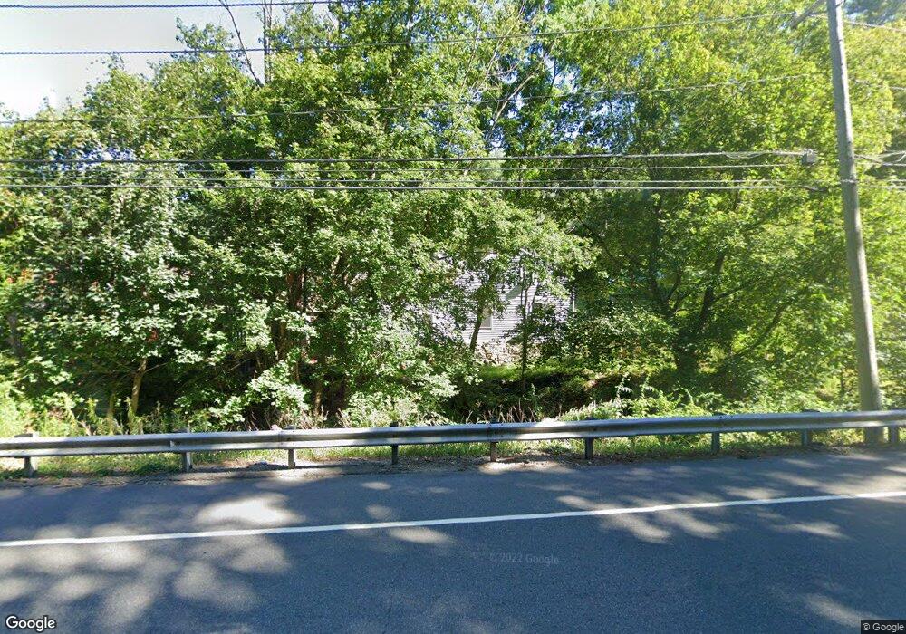
7 Christian St New Preston Marble Dale, CT 06777
Estimated Value: $515,000 - $591,000
3
Beds
1
Bath
1,710
Sq Ft
$320/Sq Ft
Est. Value
About This Home
This home is located at 7 Christian St, New Preston Marble Dale, CT 06777 and is currently estimated at $546,629, approximately $319 per square foot. 7 Christian St is a home located in Litchfield County with nearby schools including Shepaug Valley School, Washington Montessori School, and Rumsey Hall School.
Ownership History
Date
Name
Owned For
Owner Type
Purchase Details
Closed on
Sep 28, 2000
Sold by
Pitts Allen
Bought by
Pitts Alan and Pitts Nancy
Current Estimated Value
Purchase Details
Closed on
Oct 31, 1996
Sold by
Parker Raymond and Parker Jean
Bought by
Pitts Allan and Pitts Doreen
Purchase Details
Closed on
Feb 28, 1995
Sold by
Pitts Louise
Bought by
Parker Jean and Parker Raymond
Create a Home Valuation Report for This Property
The Home Valuation Report is an in-depth analysis detailing your home's value as well as a comparison with similar homes in the area
Home Values in the Area
Average Home Value in this Area
Purchase History
| Date | Buyer | Sale Price | Title Company |
|---|---|---|---|
| Pitts Alan | $135,000 | -- | |
| Pitts Allan | $52,000 | -- | |
| Parker Jean | $102,000 | -- | |
| Pitts Alan | $135,000 | -- | |
| Pitts Allan | $52,000 | -- | |
| Parker Jean | $102,000 | -- |
Source: Public Records
Mortgage History
| Date | Status | Borrower | Loan Amount |
|---|---|---|---|
| Open | Parker Jean | $288,000 | |
| Closed | Parker Jean | $279,000 | |
| Closed | Parker Jean | $160,000 |
Source: Public Records
Tax History Compared to Growth
Tax History
| Year | Tax Paid | Tax Assessment Tax Assessment Total Assessment is a certain percentage of the fair market value that is determined by local assessors to be the total taxable value of land and additions on the property. | Land | Improvement |
|---|---|---|---|---|
| 2025 | $3,612 | $332,920 | $74,200 | $258,720 |
| 2024 | $3,612 | $332,920 | $74,200 | $258,720 |
| 2023 | $2,685 | $188,410 | $74,870 | $113,540 |
| 2022 | $2,685 | $188,410 | $74,870 | $113,540 |
| 2021 | $2,685 | $188,410 | $74,870 | $113,540 |
| 2020 | $2,685 | $188,410 | $74,870 | $113,540 |
| 2019 | $2,685 | $188,410 | $74,870 | $113,540 |
| 2018 | $2,797 | $196,260 | $78,120 | $118,140 |
| 2017 | $2,797 | $196,260 | $78,120 | $118,140 |
| 2016 | $2,797 | $196,260 | $78,120 | $118,140 |
| 2015 | $2,699 | $196,260 | $78,120 | $118,140 |
| 2014 | $2,650 | $196,260 | $78,120 | $118,140 |
Source: Public Records
Map
Nearby Homes
- 54 Scofield Hill Rd
- 77 New Milford Turnpike
- 93 Quarry Ridge Rd Unit 93
- 35 Quarry Ridge Rd Unit 35
- 29 Quarry Ridge Rd
- 1 N Shore Rd
- 31 June Rd
- 198 Tinker Hill Rd
- 226 Tinker Hill Rd
- 5 Kielwasser Rd
- 46 June Rd
- Lot 2 060804A Popple Swamp Rd
- LOT 1 060804 Popple Swamp Rd
- 35 Hillendale Dr
- Lot 3 060804C Upper Church Hill Rd
- Lot 4 060804B Upper Church Hill Rd
- 387 Lake Rd
- 15 Connelly Rd
- 00 Upper Church Hill & Popple Swamp Rd
- 217 Sawyer Hill Rd
- 9 Christian St
- 6 Christian St
- 8 Christian St
- 4 Christian St
- 13 Christian St
- 159 New Milford Turnpike
- 298 New Milford Turnpike
- 154 New Milford Turnpike
- 19 Christian St
- 12 Church St
- 249 Baldwin Hill Rd
- 241 Baldwin Hill Rd
- 14 Hinckley Rd
- 245 Baldwin Hill Rd
- 16 Hinckley Rd
- 12 Hinckley Rd
- 166 New Milford Turnpike
- 167 New Milford Turnpike
- 235 Baldwin Hill Rd
- 8 Hinckley Rd