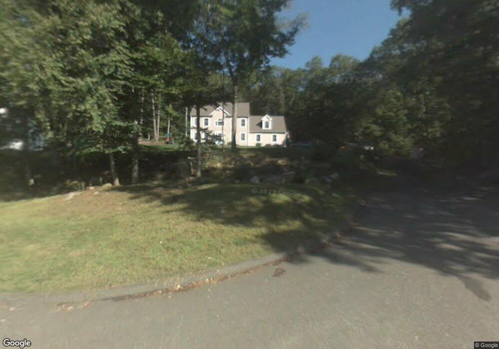
7 Clarks Pond Rd Ivoryton, CT 06442
Estimated Value: $685,000 - $819,000
3
Beds
7
Baths
2,477
Sq Ft
$302/Sq Ft
Est. Value
About This Home
This home is located at 7 Clarks Pond Rd, Ivoryton, CT 06442 and is currently estimated at $747,278, approximately $301 per square foot. 7 Clarks Pond Rd is a home located in Middlesex County with nearby schools including Valley Regional High School.
Ownership History
Date
Name
Owned For
Owner Type
Purchase Details
Closed on
Oct 8, 2009
Sold by
Shasha Todd and Waterhouse Sarah
Bought by
Bowen Ian and Doherty-Bowen Marylou
Current Estimated Value
Home Financials for this Owner
Home Financials are based on the most recent Mortgage that was taken out on this home.
Original Mortgage
$103,000
Interest Rate
5.06%
Create a Home Valuation Report for This Property
The Home Valuation Report is an in-depth analysis detailing your home's value as well as a comparison with similar homes in the area
Home Values in the Area
Average Home Value in this Area
Purchase History
| Date | Buyer | Sale Price | Title Company |
|---|---|---|---|
| Bowen Ian | $410,000 | -- | |
| Bowen Ian | $410,000 | -- |
Source: Public Records
Mortgage History
| Date | Status | Borrower | Loan Amount |
|---|---|---|---|
| Open | Bowen Ian | $223,000 | |
| Closed | Bowen Ian | $103,000 | |
| Closed | Bowen Ian | $225,000 |
Source: Public Records
Tax History Compared to Growth
Tax History
| Year | Tax Paid | Tax Assessment Tax Assessment Total Assessment is a certain percentage of the fair market value that is determined by local assessors to be the total taxable value of land and additions on the property. | Land | Improvement |
|---|---|---|---|---|
| 2025 | $6,440 | $345,700 | $66,000 | $279,700 |
| 2024 | $6,240 | $345,700 | $66,000 | $279,700 |
| 2023 | $5,860 | $259,400 | $61,700 | $197,700 |
| 2022 | $5,875 | $259,400 | $61,700 | $197,700 |
| 2021 | $5,818 | $259,400 | $61,700 | $197,700 |
| 2020 | $5,658 | $259,400 | $61,700 | $197,700 |
| 2019 | $5,616 | $259,400 | $61,700 | $197,700 |
| 2018 | $5,561 | $254,500 | $67,600 | $186,900 |
| 2017 | $5,589 | $254,500 | $67,600 | $186,900 |
| 2016 | $5,492 | $254,500 | $67,600 | $186,900 |
| 2015 | $5,365 | $254,500 | $67,600 | $186,900 |
| 2014 | $5,342 | $254,500 | $67,600 | $186,900 |
Source: Public Records
Map
Nearby Homes
- 41 Bushy Hill Rd
- 86 Bushy Hill Rd
- 20 Comstock Ave Unit 3D
- 20 Comstock Ave Unit 4C
- 97 Bushy Hill Rd
- 130 Mares Hill Rd
- 92 Warsaw St
- 0 Fairview St
- 200 Westbrook Rd
- 214 Kelsey Hill Rd
- 113 Winthrop Rd
- 47 Plains Rd
- 0 Glen Grove Rd
- 180 Malabar Dr
- 15 Cedar St
- 33 Deep River Rd
- 1 Lake Louise Dr
- 129 Falls Landing Rd
- 112 Cedar Swamp Rd
- 46 Hemlock Dr
- 5 Clark's Pond Rd
- 9 Clarks Pond Rd
- 5 Clarks Pond Rd
- 3 Clarks Pond Rd
- 6 Clarks Pond Rd
- 4 Clarks Pond Rd
- 2 Clarks Pond Rd
- 7 Brooks Ln
- 2 Clark's Pond Rd
- 9 Brooks Ln
- 20 Ebony Ln
- 43 Bushy Hill Rd
- 18 Ebony Ln
- 11 Brooks Ln
- 6 Brooks Ln
- 22 Ebony Ln
- 15 Bushy Hill Rd
- 32 Bushy Hill Rd
- 28 Bushy Hill Rd
- 10 Brooks Ln