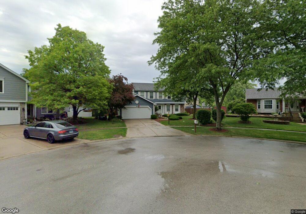
7 Clearwater Ct Streamwood, IL 60107
Estimated Value: $472,000 - $504,000
4
Beds
4
Baths
2,480
Sq Ft
$196/Sq Ft
Est. Value
About This Home
This home is located at 7 Clearwater Ct, Streamwood, IL 60107 and is currently estimated at $485,993, approximately $195 per square foot. 7 Clearwater Ct is a home located in Cook County with nearby schools including Hanover Countryside Elementary School, Canton Middle School, and Streamwood High School.
Ownership History
Date
Name
Owned For
Owner Type
Purchase Details
Closed on
May 21, 1998
Sold by
Wright Kevin W and Wright Wilma R
Bought by
Thompson Steven A and Thompson Valerie T
Current Estimated Value
Home Financials for this Owner
Home Financials are based on the most recent Mortgage that was taken out on this home.
Original Mortgage
$154,500
Outstanding Balance
$30,768
Interest Rate
7.32%
Estimated Equity
$455,225
Purchase Details
Closed on
Jan 29, 1994
Sold by
Wright Kevin W and Wright Wilma R
Bought by
Wright Kevin W and Wright Wilma R
Create a Home Valuation Report for This Property
The Home Valuation Report is an in-depth analysis detailing your home's value as well as a comparison with similar homes in the area
Home Values in the Area
Average Home Value in this Area
Purchase History
| Date | Buyer | Sale Price | Title Company |
|---|---|---|---|
| Thompson Steven A | $206,500 | -- | |
| Wright Kevin W | -- | -- |
Source: Public Records
Mortgage History
| Date | Status | Borrower | Loan Amount |
|---|---|---|---|
| Open | Thompson Steven A | $154,500 |
Source: Public Records
Tax History Compared to Growth
Tax History
| Year | Tax Paid | Tax Assessment Tax Assessment Total Assessment is a certain percentage of the fair market value that is determined by local assessors to be the total taxable value of land and additions on the property. | Land | Improvement |
|---|---|---|---|---|
| 2024 | $9,760 | $35,000 | $6,063 | $28,937 |
| 2023 | $9,473 | $35,000 | $6,063 | $28,937 |
| 2022 | $9,473 | $35,000 | $6,063 | $28,937 |
| 2021 | $9,177 | $28,433 | $4,648 | $23,785 |
| 2020 | $9,103 | $28,433 | $4,648 | $23,785 |
| 2019 | $8,999 | $31,593 | $4,648 | $26,945 |
| 2018 | $9,324 | $29,910 | $4,042 | $25,868 |
| 2017 | $9,217 | $29,910 | $4,042 | $25,868 |
| 2016 | $8,879 | $29,910 | $4,042 | $25,868 |
| 2015 | $8,215 | $25,783 | $3,637 | $22,146 |
| 2014 | $8,109 | $25,783 | $3,637 | $22,146 |
| 2013 | $8,326 | $27,224 | $3,637 | $23,587 |
Source: Public Records
Map
Nearby Homes
- 69 Colonial Ct
- 106 Brittany Dr Unit 17E1
- 107 Janet Ave
- 36 Evergreen Dr
- 20 Coolidge Ct Unit B
- 3 Dorchester Ct
- 1108 Oak Ridge Dr
- 40 Jackson Ln
- 9N Merry Oaks Rd
- 6 Wild Rose Ct
- 8 Lasalle Ct
- 24 Fillmore Ln
- 8 Taft Ct Unit A
- 134 Virginia Ct
- 9 Arthur Ct
- 1201 Oak Ridge Dr
- 3 Taylor Ct Unit B
- 6 Dartmouth Ct
- 14 Buchanan Ln
- 24 Jefferson Ln
- 5 Clearwater Ct
- 9 Clearwater Ct
- 39 Brookstone Dr
- 43 Brookstone Dr
- 45 Brookstone Dr
- 35 Brookstone Dr
- 31 Brookstone Dr
- 49 Brookstone Dr
- 8 Clearwater Ct
- 61 Brookstone Dr
- 59 Brookstone Dr
- 27 Brookstone Dr
- 6 Clearwater Ct
- 4 Clearwater Ct
- 25 Brookstone Dr
- 2 Clearwater Ct
- 23 Brookstone Dr
- 38 Brookstone Dr
- 40 Brookstone Dr
- 36 Brookstone Dr