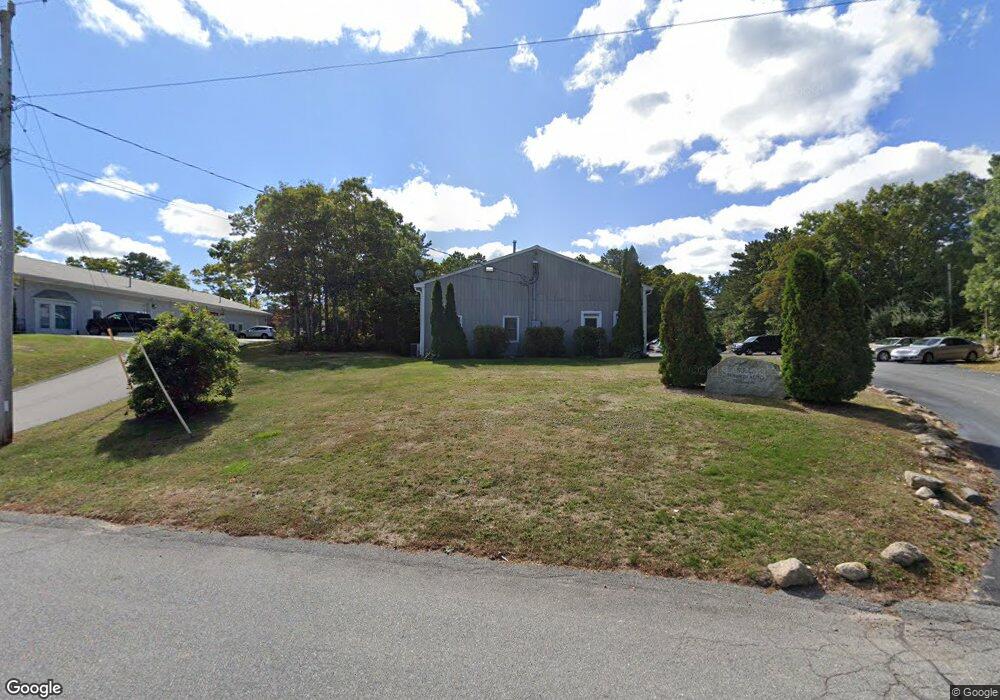
7 Colonel Dr Bourne, MA 2532
Estimated Value: $560,475
--
Bed
3
Baths
5,480
Sq Ft
$102/Sq Ft
Est. Value
About This Home
This home is located at 7 Colonel Dr, Bourne, MA 2532 and is currently priced at $560,475, approximately $102 per square foot. 7 Colonel Dr is a home located in Barnstable County with nearby schools including Bourne High School, St Margaret Regional School, and Cadence Academy Preschool - Bourne.
Ownership History
Date
Name
Owned For
Owner Type
Purchase Details
Closed on
Jun 27, 1994
Sold by
Anderson George C and Anderson Joanne M
Bought by
Mtk Rt and Ledwidge Susan L
Current Estimated Value
Home Financials for this Owner
Home Financials are based on the most recent Mortgage that was taken out on this home.
Original Mortgage
$25,000
Interest Rate
8.55%
Mortgage Type
Commercial
Create a Home Valuation Report for This Property
The Home Valuation Report is an in-depth analysis detailing your home's value as well as a comparison with similar homes in the area
Home Values in the Area
Average Home Value in this Area
Purchase History
| Date | Buyer | Sale Price | Title Company |
|---|---|---|---|
| Mtk Rt | $137,750 | -- | |
| Mtk Rt | $137,750 | -- |
Source: Public Records
Mortgage History
| Date | Status | Borrower | Loan Amount |
|---|---|---|---|
| Closed | Mtk Rt | $104,000 | |
| Closed | Mtk Rt | $25,000 | |
| Closed | Mtk Rt | $104,000 |
Source: Public Records
Tax History Compared to Growth
Tax History
| Year | Tax Paid | Tax Assessment Tax Assessment Total Assessment is a certain percentage of the fair market value that is determined by local assessors to be the total taxable value of land and additions on the property. | Land | Improvement |
|---|---|---|---|---|
| 2025 | $5,002 | $640,500 | $390,400 | $250,100 |
| 2024 | $4,913 | $612,600 | $371,700 | $240,900 |
| 2023 | $5,212 | $591,600 | $357,500 | $234,100 |
| 2022 | $5,483 | $543,400 | $336,100 | $207,300 |
| 2021 | $5,723 | $531,400 | $326,300 | $205,100 |
| 2020 | $5,630 | $524,200 | $319,900 | $204,300 |
| 2019 | $5,396 | $513,400 | $313,600 | $199,800 |
| 2018 | $5,210 | $494,300 | $301,600 | $192,700 |
| 2017 | $5,052 | $490,500 | $298,500 | $192,000 |
| 2016 | $5,026 | $494,700 | $298,500 | $196,200 |
| 2015 | $4,982 | $494,700 | $298,500 | $196,200 |
Source: Public Records
Map
Nearby Homes
- 405 Village Dr Unit 405
- 405 Village Dr
- 1 Hollyhock Knoll Ct Unit 1
- 4 Hollyhock Knoll Ct Unit 4
- 4 Hollyhock Knoll Ct Unit 4
- 9 Sea Knoll Ct
- 26 Carnoustie Rd
- 5 Sea Knoll Ct
- 14 Great Rock Rd
- 12 Turnberry Rd Unit 12
- 34 Turnberry Rd
- 13 Laurel Hill Ct
- 16 Amberwood Ct
- 18 Quaker Ln
- 203 County Rd
- 90-92 Sandwich Rd Unit 2
- 60 Sandwich Rd
- 232 County Rd
- 7 Freeman St
- 5 Colonel Dr
- 606 Village Dr
- 605 Village Dr
- 604 Village Dr
- 603 Village Dr
- 602 Village Dr
- 601 Village Dr
- 605 Village Dr Unit 605
- 601 Village Dr Unit 601
- 506 Village Dr
- 505 Village Dr
- 504 Village Dr
- 503 Village Dr
- 502 Village Dr
- 501 Village Dr
- 502 Village Dr Unit 502
- 502 Village Dr Unit 2
- 504 Village Dr Unit 504
- 503 Village Dr
- 501 Village Dr