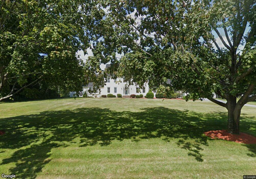
7 Creek Dr Norfolk, MA 02056
Estimated Value: $1,021,816 - $1,338,000
4
Beds
4
Baths
2,983
Sq Ft
$387/Sq Ft
Est. Value
About This Home
This home is located at 7 Creek Dr, Norfolk, MA 02056 and is currently estimated at $1,153,454, approximately $386 per square foot. 7 Creek Dr is a home located in Norfolk County with nearby schools including H. Olive Day School, Freeman-Kennedy School, and Clifford Academy.
Ownership History
Date
Name
Owned For
Owner Type
Purchase Details
Closed on
Jun 2, 2022
Sold by
Shiels Daniel J and Shiels Jean M
Bought by
Shiels Ft and Shiels
Current Estimated Value
Purchase Details
Closed on
Sep 30, 1993
Sold by
Lorusso Tr Gerard C
Bought by
Shiels Daniel J
Create a Home Valuation Report for This Property
The Home Valuation Report is an in-depth analysis detailing your home's value as well as a comparison with similar homes in the area
Home Values in the Area
Average Home Value in this Area
Purchase History
| Date | Buyer | Sale Price | Title Company |
|---|---|---|---|
| Shiels Ft | -- | None Available | |
| Shiels Ft | -- | None Available | |
| Shiels Daniel J | $90,500 | -- | |
| Shiels Daniel J | $90,500 | -- |
Source: Public Records
Mortgage History
| Date | Status | Borrower | Loan Amount |
|---|---|---|---|
| Previous Owner | Shiels Daniel J | $170,000 | |
| Previous Owner | Shiels Daniel J | $10,000 | |
| Previous Owner | Shiels Daniel J | $10,000 |
Source: Public Records
Tax History Compared to Growth
Tax History
| Year | Tax Paid | Tax Assessment Tax Assessment Total Assessment is a certain percentage of the fair market value that is determined by local assessors to be the total taxable value of land and additions on the property. | Land | Improvement |
|---|---|---|---|---|
| 2025 | $15,745 | $985,900 | $230,100 | $755,800 |
| 2024 | $14,782 | $949,400 | $230,100 | $719,300 |
| 2023 | $14,022 | $854,500 | $230,100 | $624,400 |
| 2022 | $12,953 | $711,700 | $216,900 | $494,800 |
| 2021 | $12,760 | $709,300 | $223,500 | $485,800 |
| 2020 | $13,050 | $700,100 | $224,600 | $475,500 |
| 2019 | $12,551 | $686,200 | $224,600 | $461,600 |
| 2018 | $12,181 | $654,200 | $234,500 | $419,700 |
| 2017 | $12,012 | $659,300 | $234,500 | $424,800 |
| 2016 | $12,240 | $677,000 | $249,400 | $427,600 |
| 2015 | $11,770 | $666,500 | $248,800 | $417,700 |
| 2014 | $11,540 | $662,100 | $248,800 | $413,300 |
Source: Public Records
Map
Nearby Homes
- 13 Stop River Rd
- 10 Stop River Rd
- 16 Stop River Rd
- The Georgetown L Plan at Lakeland Hills
- The Georgetown Grand L Plan at Lakeland Hills
- The Georgetown R Plan at Lakeland Hills
- The Georgetown Grand R Plan at Lakeland Hills
- 63 Thomas Mann Cir Unit 36
- 57 Thomas Mann Cir Unit 57
- 53 Thomas Mann Cir Unit 31
- 42 Thomas Mann Unit 39
- 51 Thomas Mann Unit 30
- 28 Thomas Mann Cir Unit Lot 38
- 27 Thomas Mann Cir Unit 18
- 37 Thomas Mann Cir Unit 23
- 16 Lee Rd
- 12 Brookside Ln
- 9 Lakewood Dr
- 533 Lincoln Rd
- 195 Lincoln Rd