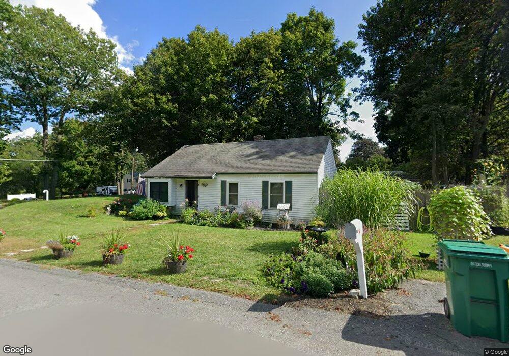
7 Crest Ave Lunenburg, MA 01462
Estimated Value: $280,000 - $420,000
3
Beds
1
Bath
864
Sq Ft
$414/Sq Ft
Est. Value
About This Home
This home is located at 7 Crest Ave, Lunenburg, MA 01462 and is currently estimated at $357,898, approximately $414 per square foot. 7 Crest Ave is a home located in Worcester County with nearby schools including Lunenburg Primary School, Lunenburg High School, and St Bernards Elementary School.
Ownership History
Date
Name
Owned For
Owner Type
Purchase Details
Closed on
Jan 18, 2022
Sold by
Gerace Richard
Bought by
Gerace Kenneth G and Madden Cheryl L
Current Estimated Value
Home Financials for this Owner
Home Financials are based on the most recent Mortgage that was taken out on this home.
Original Mortgage
$165,000
Outstanding Balance
$151,132
Interest Rate
3.11%
Mortgage Type
Purchase Money Mortgage
Estimated Equity
$206,766
Purchase Details
Closed on
Mar 14, 2008
Sold by
Bank Of New York and Cwabs Inc Series
Bought by
Gerace Richard
Create a Home Valuation Report for This Property
The Home Valuation Report is an in-depth analysis detailing your home's value as well as a comparison with similar homes in the area
Home Values in the Area
Average Home Value in this Area
Purchase History
| Date | Buyer | Sale Price | Title Company |
|---|---|---|---|
| Gerace Kenneth G | $165,000 | None Available | |
| Gerace Richard | $85,000 | -- | |
| Gerace Richard | $85,000 | -- |
Source: Public Records
Mortgage History
| Date | Status | Borrower | Loan Amount |
|---|---|---|---|
| Open | Gerace Kenneth G | $165,000 | |
| Previous Owner | Gerace Richard | $86,000 | |
| Previous Owner | Gerace Richard | $75,500 |
Source: Public Records
Tax History
| Year | Tax Paid | Tax Assessment Tax Assessment Total Assessment is a certain percentage of the fair market value that is determined by local assessors to be the total taxable value of land and additions on the property. | Land | Improvement |
|---|---|---|---|---|
| 2025 | $4,173 | $290,600 | $95,900 | $194,700 |
| 2024 | $3,806 | $269,900 | $90,400 | $179,500 |
| 2023 | $3,618 | $247,500 | $81,300 | $166,200 |
| 2022 | $3,388 | $197,100 | $67,800 | $129,300 |
| 2020 | $2,959 | $163,300 | $68,100 | $95,200 |
| 2019 | $2,933 | $157,000 | $62,800 | $94,200 |
| 2018 | $2,640 | $134,000 | $65,400 | $68,600 |
| 2017 | $2,428 | $121,500 | $55,900 | $65,600 |
| 2016 | $2,363 | $120,500 | $56,400 | $64,100 |
| 2015 | $2,145 | $117,100 | $53,900 | $63,200 |
Source: Public Records
Map
Nearby Homes
- 365 Hollis Rd
- 37 Wallis Park
- 77 Electric Ave
- 87 Norwood Ave
- 3 Rennie St
- 2 Riley Rd Unit B
- 24 North St
- 711 Massachusetts Ave Unit 2
- 4 Lincoln St
- 35 Leominster Rd
- 1177 Main St
- 49 Pleasant St
- 795 Leominster Rd
- 9 Pleasant St
- 146-148 Kilburn St
- 71 Jordans Way
- 363 Lunenburg St
- 87 Dartmouth St
- 319 Highland St
- 26 Claflin St
Your Personal Tour Guide
Ask me questions while you tour the home.