7 Crossbow Ct Saint Louis, MO 63114
Estimated Value: $360,000 - $589,000
4
Beds
4
Baths
2,183
Sq Ft
$200/Sq Ft
Est. Value
About This Home
This home is located at 7 Crossbow Ct, Saint Louis, MO 63114 and is currently estimated at $437,165, approximately $200 per square foot. 7 Crossbow Ct is a home located in St. Louis County with nearby schools including Wyland Elementary School, Ritenour Middle School, and Ritenour Senior High School.
Ownership History
Date
Name
Owned For
Owner Type
Purchase Details
Closed on
Dec 8, 2012
Sold by
Ragin Mark and Ragin Mark Stuart
Bought by
Allison Nancy R
Current Estimated Value
Purchase Details
Closed on
Feb 14, 1997
Sold by
Meisel Joseph A and Meisel Linda S
Bought by
Ragin Mark
Home Financials for this Owner
Home Financials are based on the most recent Mortgage that was taken out on this home.
Original Mortgage
$162,000
Interest Rate
5.87%
Create a Home Valuation Report for This Property
The Home Valuation Report is an in-depth analysis detailing your home's value as well as a comparison with similar homes in the area
Home Values in the Area
Average Home Value in this Area
Purchase History
| Date | Buyer | Sale Price | Title Company |
|---|---|---|---|
| Allison Nancy R | $2,000 | None Available | |
| Ragin Mark | -- | Land Title Company | |
| Ragin Mark | -- | Land Title Company | |
| Ragin Mark | -- | Land Title Company | |
| Ragin Mark | -- | -- |
Source: Public Records
Mortgage History
| Date | Status | Borrower | Loan Amount |
|---|---|---|---|
| Previous Owner | Ragin Mark | $162,000 |
Source: Public Records
Tax History Compared to Growth
Tax History
| Year | Tax Paid | Tax Assessment Tax Assessment Total Assessment is a certain percentage of the fair market value that is determined by local assessors to be the total taxable value of land and additions on the property. | Land | Improvement |
|---|---|---|---|---|
| 2025 | $5,617 | $85,290 | $11,890 | $73,400 |
| 2024 | $5,617 | $66,140 | $7,660 | $58,480 |
| 2023 | $5,493 | $66,140 | $7,660 | $58,480 |
| 2022 | $5,225 | $55,200 | $8,610 | $46,590 |
| 2021 | $5,224 | $55,200 | $8,610 | $46,590 |
| 2020 | $5,249 | $51,180 | $10,200 | $40,980 |
| 2019 | $5,197 | $51,180 | $10,200 | $40,980 |
| 2018 | $4,981 | $44,160 | $5,950 | $38,210 |
| 2017 | $4,749 | $44,160 | $5,950 | $38,210 |
| 2016 | $4,435 | $42,030 | $5,950 | $36,080 |
| 2015 | $4,536 | $42,030 | $5,950 | $36,080 |
| 2014 | $4,565 | $43,020 | $9,560 | $33,460 |
Source: Public Records
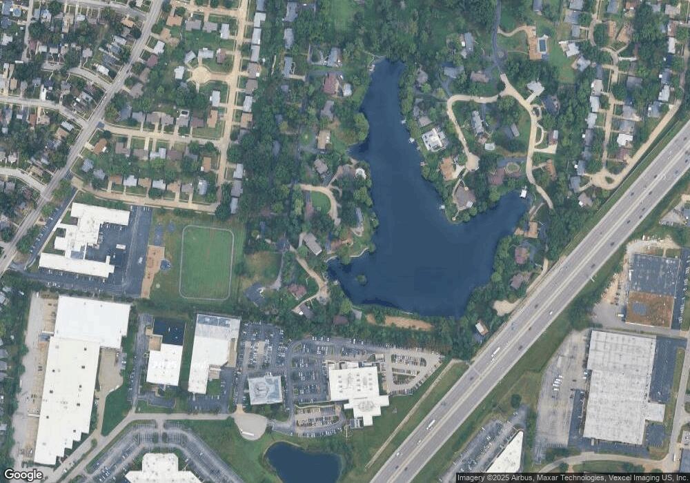
Map
Nearby Homes
- 29 W Sherwood Dr
- 1947 Brown Rd
- 2424 Gothland Ave
- 1910 Leondale Ave
- 2475 Hartland Ave
- 2366 Addie Ave
- 8431 Midland Blvd
- 8804 Forest Ave
- 2414 Gilrose Ave
- 9417 Romaine Ave
- 8425 Ann Ave
- 2435 Ackerman Ave
- 2327 Gaebler Ave
- 8476 Lackland Rd
- 9430 Ridge Ave
- 8822 Olden Ave
- 2223 Burns Ave
- 9446 Miriam Ave
- 8341 Jefferson Ave
- 8338 Jefferson Ave
- 5 Crossbow Ct
- 88 W Sherwood Dr
- 84 W Sherwood Dr
- 97 W Sherwood Dr
- 3 Crossbow Ct
- 96 W Sherwood Dr
- 99 W Sherwood Dr
- 89 W Sherwood Dr
- 1 Crossbow Ct
- 83 W Sherwood Dr
- 95 W Sherwood Dr
- 77 W Sherwood Dr
- 70 W Sherwood Dr
- 2222 Kenosho Ave
- 71 W Sherwood Dr
- 2226 Kenosho Ave
- 2230 Kenosho Ave
- 23 Longbow Ct
- 25 Longbow Ct
- 64 W Sherwood Dr