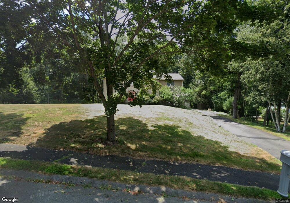
7 Currier Rd Middleton, MA 01949
Estimated Value: $1,112,000 - $1,218,000
4
Beds
4
Baths
3,032
Sq Ft
$381/Sq Ft
Est. Value
About This Home
This home is located at 7 Currier Rd, Middleton, MA 01949 and is currently estimated at $1,154,305, approximately $380 per square foot. 7 Currier Rd is a home located in Essex County with nearby schools including Howe-Manning Elementary School, Fuller Meadow Elementary School, and Masconomet Regional Middle School.
Ownership History
Date
Name
Owned For
Owner Type
Purchase Details
Closed on
Jan 12, 2005
Sold by
Deeb Flora T and Deeb Steven J
Bought by
Liu Hong and Chang Fengchun
Current Estimated Value
Purchase Details
Closed on
Apr 10, 1995
Sold by
Hillcrest Rt and Denisco
Bought by
Deeb Steven J and Deeb Valery
Create a Home Valuation Report for This Property
The Home Valuation Report is an in-depth analysis detailing your home's value as well as a comparison with similar homes in the area
Home Values in the Area
Average Home Value in this Area
Purchase History
| Date | Buyer | Sale Price | Title Company |
|---|---|---|---|
| Liu Hong | $630,000 | -- | |
| Liu Hong | $630,000 | -- | |
| Deeb Steven J | $110,000 | -- | |
| Deeb Steven J | $110,000 | -- |
Source: Public Records
Mortgage History
| Date | Status | Borrower | Loan Amount |
|---|---|---|---|
| Open | Deeb Steven J | $290,000 | |
| Closed | Deeb Steven J | $312,000 |
Source: Public Records
Tax History
| Year | Tax Paid | Tax Assessment Tax Assessment Total Assessment is a certain percentage of the fair market value that is determined by local assessors to be the total taxable value of land and additions on the property. | Land | Improvement |
|---|---|---|---|---|
| 2025 | $12,319 | $1,036,100 | $418,800 | $617,300 |
| 2024 | $12,354 | $1,047,800 | $438,800 | $609,000 |
| 2023 | $10,580 | $822,100 | $364,800 | $457,300 |
| 2022 | $10,725 | $809,400 | $393,000 | $416,400 |
| 2021 | $9,406 | $685,600 | $285,000 | $400,600 |
| 2020 | $9,319 | $684,200 | $279,000 | $405,200 |
| 2019 | $9,583 | $700,000 | $303,000 | $397,000 |
| 2018 | $9,388 | $672,500 | $303,000 | $369,500 |
| 2017 | $9,171 | $657,400 | $293,000 | $364,400 |
| 2016 | $8,703 | $626,600 | $267,000 | $359,600 |
| 2015 | $8,513 | $617,800 | $263,000 | $354,800 |
Source: Public Records
Map
Nearby Homes
- 69 Forest St
- 37 White Cedar Dr Unit 37
- 11 James Coffin Way Unit 11
- 78 Essex St
- 220 Swan Pond Rd
- 17 Lavoie Ln
- 14 Niblick Way
- 5 Palomino Dr
- 15 Rowell Ln Unit 15
- 7 James Ave
- 7 Wedge Ct Unit 7
- 2 Wedge Ct Unit 2
- 34 Spoon Way
- 1205 Harvest Dr Unit 205
- 906 Alder Way Unit 906
- 2 Harvest Dr Unit 308
- 2 Harvest Dr Unit 209
- 3 Harvest Dr Unit 303
- 6 White Ln
- 47 Maple St Unit A
- 9 Currier Rd
- 5 Currier Rd
- 6 Currier Rd
- 8 Currier Rd
- 1 Currier Rd Unit 1
- 3 Currier Rd Unit 3
- 11 Currier Rd
- 15 Currier Rd
- 134 Forest St
- 10 Currier Rd
- 132 Forest St
- 22 Upton Hills Ln
- 4 Currier Rd
- 136 Forest St
- 126 Forest St
- 3 Old Hundred Ln
- 12 Currier Rd
- 24 Upton Hills Ln
- 13 Currier Rd
- 20 Upton Hills Ln
Your Personal Tour Guide
Ask me questions while you tour the home.