Estimated Value: $51,000 - $118,000
--
Bed
--
Bath
1,088
Sq Ft
$73/Sq Ft
Est. Value
About This Home
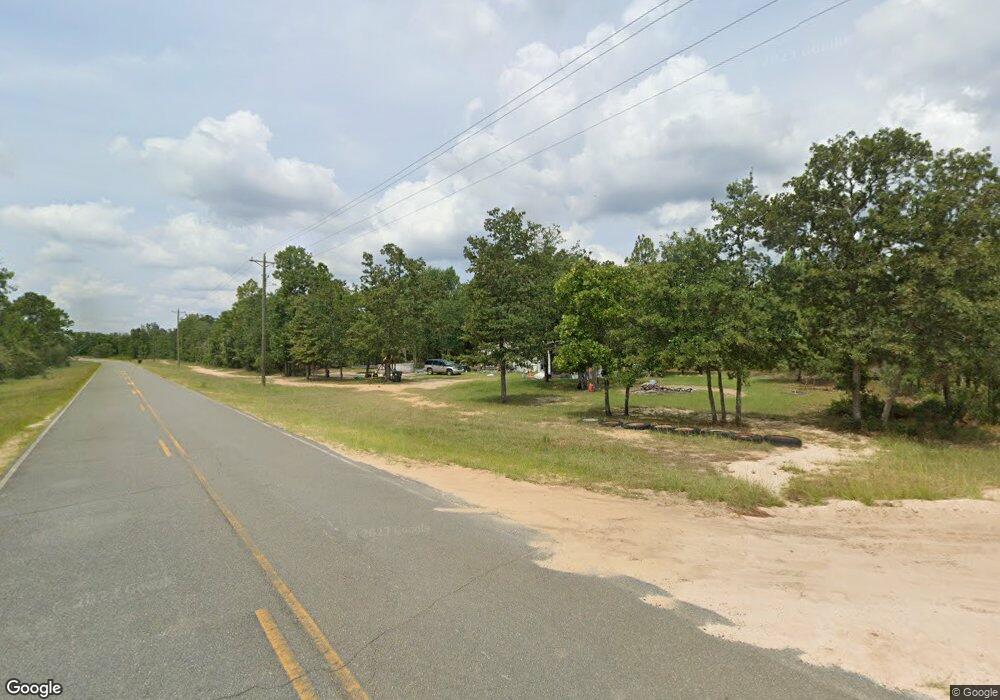
This home is located at 7 Date Cir, Mauk, GA 31058 and is currently estimated at $79,622, approximately $73 per square foot. 7 Date Cir is a home with nearby schools including L.K. Moss Elementary School and Marion County Middle/High School.
Ownership History
Date
Name
Owned For
Owner Type
Purchase Details
Closed on
Oct 14, 2014
Sold by
Gaddy Developments Inc
Bought by
Headley Patricia
Current Estimated Value
Purchase Details
Closed on
Jan 30, 2003
Sold by
Restrepo Nancy
Bought by
Ward Sherry
Purchase Details
Closed on
Jan 18, 2000
Sold by
Ward Sherry M
Bought by
Restrepo Nancy
Purchase Details
Closed on
Jul 10, 1997
Sold by
Gaddy Charles T
Bought by
Ward Sherry M
Purchase Details
Closed on
Oct 12, 1995
Bought by
Gaddy Charles T
Create a Home Valuation Report for This Property
The Home Valuation Report is an in-depth analysis detailing your home's value as well as a comparison with similar homes in the area
Home Values in the Area
Average Home Value in this Area
Purchase History
| Date | Buyer | Sale Price | Title Company |
|---|---|---|---|
| Headley Patricia | $21,000 | -- | |
| Ward Sherry | -- | -- | |
| Restrepo Nancy | $33,000 | -- | |
| Ward Sherry M | -- | -- | |
| Gaddy Charles T | $49,000 | -- |
Source: Public Records
Tax History Compared to Growth
Tax History
| Year | Tax Paid | Tax Assessment Tax Assessment Total Assessment is a certain percentage of the fair market value that is determined by local assessors to be the total taxable value of land and additions on the property. | Land | Improvement |
|---|---|---|---|---|
| 2024 | $101 | $4,350 | $1,950 | $2,400 |
| 2023 | $103 | $4,350 | $1,950 | $2,400 |
| 2022 | $104 | $6,690 | $0 | $6,690 |
| 2021 | $103 | $6,690 | $0 | $6,690 |
| 2020 | $104 | $6,690 | $0 | $6,690 |
| 2019 | $104 | $6,690 | $0 | $6,690 |
| 2018 | $104 | $6,690 | $0 | $6,690 |
| 2017 | $104 | $6,690 | $0 | $6,690 |
| 2016 | $102 | $6,690 | $0 | $6,690 |
| 2013 | -- | $11,944 | $1,950 | $9,994 |
Source: Public Records
Map
Nearby Homes
- 322 Moores Chapel Rd
- 0 Montgomery Rd
- Moores Chapel Rd
- 0 Miller Rd Unit 10319190
- 0 Miller Rd Unit 25510377
- 0 Miller Rd Unit 25510378
- 0 Moores Chapel Rd Unit 10650485
- 0 Moores Chapel Rd Unit 25800784
- 0 Moores Chapel Rd Unit 25510371
- 0 Moores Chapel Rd Unit 2 10582259
- 0 Moores Chapel Rd Unit 10544008
- 0 Moores Chapel Rd Unit 1 10582252
- 6842 Ga Highway 240 N Unit TRACT 1
- 2450 Fort Perry Rd
- 65 Saddle Trail
- 0 Poll Mill Rd
- 375 Village Ln
- 1792 Bethlehem Rd
- 221 Flamingo Dr
- 15 Georgia 127
- 42 Palm Dr
- 216 Moores Chapel Rd
- 47 Palm Dr
- 62 Palm Dr
- 23 Palm Dr
- 68 Moores Chapel Rd
- 221 Moores Chapel Rd
- 17 Palm Dr
- 0 Moore's Chapel Rd
- 180 Palm Dr
- 6 Moores Chapel Rd
- 5 Moores Chapel Rd
- 341 Moores Chapel Rd
- 341 Moore's Chapel Rd
- 156 Miller Rd
- 5766 Ga Highway 240 N
- 177 Cactus Ct
- 40 Sandy Cir
- 15 Sandy Cir
- 0 Sandy Trail Unit 8311773
