Estimated Value: $480,890 - $515,000
2
Beds
2
Baths
1,502
Sq Ft
$332/Sq Ft
Est. Value
About This Home
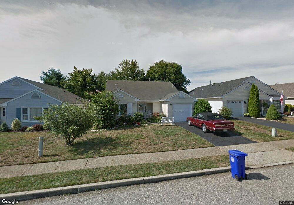
This home is located at 7 Deer Run Ln, Brick, NJ 08724 and is currently estimated at $499,223, approximately $332 per square foot. 7 Deer Run Ln is a home located in Ocean County with nearby schools including Midstreams Elementary School, Veterans Memorial Middle School, and Brick Township Memorial High School.
Ownership History
Date
Name
Owned For
Owner Type
Purchase Details
Closed on
Mar 30, 2010
Sold by
Palumbo Patrick
Bought by
Moore Keith L
Current Estimated Value
Home Financials for this Owner
Home Financials are based on the most recent Mortgage that was taken out on this home.
Original Mortgage
$156,000
Interest Rate
4.47%
Mortgage Type
New Conventional
Purchase Details
Closed on
Jun 18, 2009
Sold by
Palumbo Eleanor
Bought by
Palumbo Patrick
Create a Home Valuation Report for This Property
The Home Valuation Report is an in-depth analysis detailing your home's value as well as a comparison with similar homes in the area
Home Values in the Area
Average Home Value in this Area
Purchase History
| Date | Buyer | Sale Price | Title Company |
|---|---|---|---|
| Moore Keith L | $195,000 | None Available | |
| Palumbo Patrick | -- | None Available |
Source: Public Records
Mortgage History
| Date | Status | Borrower | Loan Amount |
|---|---|---|---|
| Closed | Moore Keith L | $156,000 |
Source: Public Records
Tax History
| Year | Tax Paid | Tax Assessment Tax Assessment Total Assessment is a certain percentage of the fair market value that is determined by local assessors to be the total taxable value of land and additions on the property. | Land | Improvement |
|---|---|---|---|---|
| 2025 | $5,933 | $227,300 | $100,000 | $127,300 |
| 2024 | $5,630 | $227,300 | $100,000 | $127,300 |
| 2023 | $5,548 | $227,300 | $100,000 | $127,300 |
| 2022 | $5,548 | $227,300 | $100,000 | $127,300 |
| 2021 | $5,432 | $227,300 | $100,000 | $127,300 |
| 2020 | $5,362 | $227,300 | $100,000 | $127,300 |
| 2019 | $5,267 | $227,300 | $100,000 | $127,300 |
| 2018 | $5,146 | $227,300 | $100,000 | $127,300 |
| 2017 | $5,007 | $227,300 | $100,000 | $127,300 |
| 2016 | $4,980 | $227,300 | $100,000 | $127,300 |
| 2015 | $4,851 | $227,300 | $100,000 | $127,300 |
| 2014 | $4,810 | $227,300 | $100,000 | $127,300 |
Source: Public Records
Map
Nearby Homes
- 94 Sleepy Hollow Dr
- 113 Elizabeth Ave
- 13 Golden Rod Ct
- 24 Davos Rd
- 36 Sleepy Hollow Dr
- 49 N Cherokee Ln
- 74 Fairview Ave
- 313 Shawnee Dr
- 315 Shawnee Dr
- 36 Lenape Trail
- 110 Meridian Dr
- 209 Winchester Dr
- 354 Rancocas Dr
- 118 Solar Dr
- 203 Lorraine Place
- 23 Island Dr
- 0 Island Ct
- 106 Arrowhead Park Dr
- 110 Crescent Dr
- 353 Arrowhead Dr