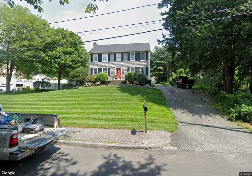
7 Denault Dr Bellingham, MA 02019
Estimated Value: $661,489 - $823,000
3
Beds
3
Baths
2,160
Sq Ft
$339/Sq Ft
Est. Value
About This Home
This home is located at 7 Denault Dr, Bellingham, MA 02019 and is currently estimated at $733,122, approximately $339 per square foot. 7 Denault Dr is a home located in Norfolk County with nearby schools including Joseph F. DiPietro Elementary, Bellingham High School, and Benjamin Franklin Classical Charter Public School.
Ownership History
Date
Name
Owned For
Owner Type
Purchase Details
Closed on
Feb 28, 1995
Sold by
Sebio Francis T
Bought by
Silva Steven and Silva Kyra
Current Estimated Value
Purchase Details
Closed on
May 18, 1990
Sold by
Forge Hil Dev Corp
Bought by
Cournoyer Henri G
Create a Home Valuation Report for This Property
The Home Valuation Report is an in-depth analysis detailing your home's value as well as a comparison with similar homes in the area
Home Values in the Area
Average Home Value in this Area
Purchase History
| Date | Buyer | Sale Price | Title Company |
|---|---|---|---|
| Silva Steven | $163,000 | -- | |
| Cournoyer Henri G | $59,000 | -- |
Source: Public Records
Mortgage History
| Date | Status | Borrower | Loan Amount |
|---|---|---|---|
| Open | Cournoyer Henri G | $289,000 | |
| Closed | Cournoyer Henri G | $291,005 |
Source: Public Records
Tax History
| Year | Tax Paid | Tax Assessment Tax Assessment Total Assessment is a certain percentage of the fair market value that is determined by local assessors to be the total taxable value of land and additions on the property. | Land | Improvement |
|---|---|---|---|---|
| 2025 | $7,657 | $609,600 | $183,200 | $426,400 |
| 2024 | $6,865 | $533,800 | $167,200 | $366,600 |
| 2023 | $6,618 | $507,100 | $159,300 | $347,800 |
| 2022 | $6,266 | $445,000 | $138,800 | $306,200 |
| 2021 | $6,061 | $420,600 | $138,800 | $281,800 |
| 2020 | $5,734 | $403,200 | $138,800 | $264,400 |
| 2019 | $5,610 | $394,800 | $138,800 | $256,000 |
| 2018 | $5,401 | $374,800 | $144,100 | $230,700 |
| 2017 | $5,250 | $366,100 | $144,100 | $222,000 |
| 2016 | $5,170 | $361,800 | $153,400 | $208,400 |
| 2015 | $4,965 | $348,400 | $147,600 | $200,800 |
| 2014 | $4,976 | $339,400 | $143,200 | $196,200 |
Source: Public Records
Map
Nearby Homes
- 43 Locust St
- 4 Cypress Cir Unit 4
- 8 Cypress Cir Unit 8
- 22 Pine Warbler Way
- 53 Ridge Rd
- 25 Palmetto Dr Unit 25
- 21 Palmetto Dr Unit 21
- 23 Palmetto Dr Unit 23
- 24 Palmetto Dr Unit 24
- 8 Innsbruck Way
- 352 Lake St
- 66 Newland Ave
- 900 Washington St Lot 2
- 31 Whitehall Way
- 101 Pine Grove Ave
- 92 Star Ave
- 179 Dawn Blvd
- 25 Nature View Dr
- 20 Nature View Dr
- 241 Prospect St
- 9 Denault Dr
- 11 Denault Dr
- 1350 Pulaski Blvd
- 10 Denault Dr
- 13 Denault Dr
- 1380 Pulaski Blvd
- 18 Gemmur Ln
- 1290 Pulaski Blvd
- 14 Lot Gemmur Ln
- 1353 Pulaski Blvd
- 1280 Pulaski Blvd
- 1355 Pulaski Blvd
- 1357 Pulaski Blvd
- 1355 Pulaski Blvd Unit 8-B
- 1359 Pulaski Blvd
- 1361 Pulaski Blvd
- 1359 Pulaski Blvd
- 1351 Pulaski Blvd Unit 2
- 1351 Pulaski Blvd
- 1351 Pulaski Blvd Unit 1
Your Personal Tour Guide
Ask me questions while you tour the home.