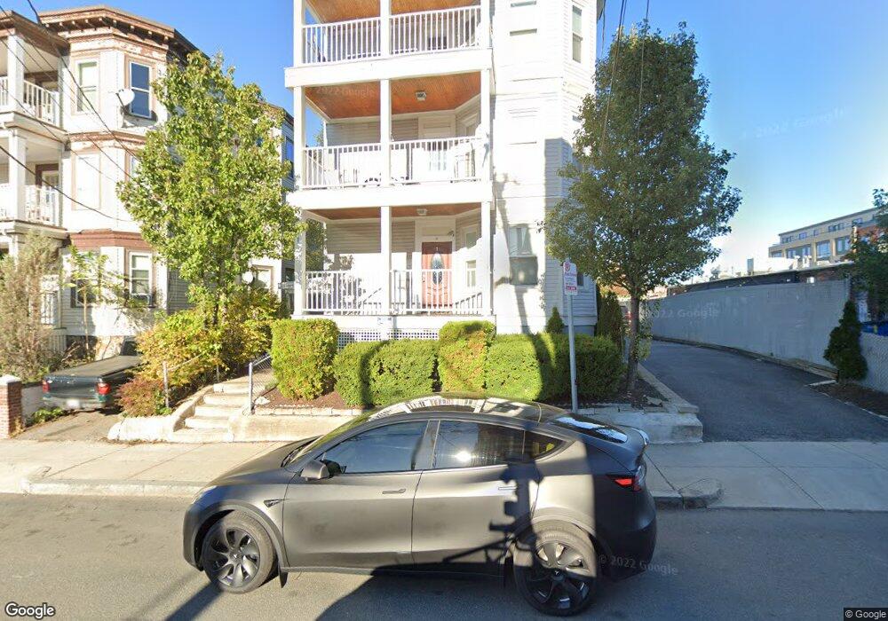
7 Denby Rd Allston, MA 02134
Allston NeighborhoodEstimated Value: $1,514,000 - $1,886,000
6
Beds
3
Baths
3,462
Sq Ft
$472/Sq Ft
Est. Value
About This Home
This home is located at 7 Denby Rd, Allston, MA 02134 and is currently estimated at $1,634,514, approximately $472 per square foot. 7 Denby Rd is a home located in Suffolk County with nearby schools including Boston Green Academy Horace Mann Charter School, German International School Boston, and St Herman Of Alaska Christian School.
Ownership History
Date
Name
Owned For
Owner Type
Purchase Details
Closed on
Mar 20, 2017
Sold by
Paicopoulos John
Bought by
Paicopoulos George
Current Estimated Value
Purchase Details
Closed on
Aug 2, 2011
Sold by
Capernaros Christina and Capernaros Philip D
Bought by
Paicopoulos John and Paicopoulos George
Purchase Details
Closed on
Jul 23, 2009
Sold by
Zevitas Katherine
Bought by
Capernaros Philip D
Create a Home Valuation Report for This Property
The Home Valuation Report is an in-depth analysis detailing your home's value as well as a comparison with similar homes in the area
Home Values in the Area
Average Home Value in this Area
Purchase History
| Date | Buyer | Sale Price | Title Company |
|---|---|---|---|
| Paicopoulos George | -- | -- | |
| Paicopoulos John | $650,000 | -- | |
| Capernaros Philip D | $285,000 | -- |
Source: Public Records
Tax History Compared to Growth
Tax History
| Year | Tax Paid | Tax Assessment Tax Assessment Total Assessment is a certain percentage of the fair market value that is determined by local assessors to be the total taxable value of land and additions on the property. | Land | Improvement |
|---|---|---|---|---|
| 2025 | $19,066 | $1,646,500 | $461,400 | $1,185,100 |
| 2024 | $18,223 | $1,671,800 | $393,400 | $1,278,400 |
| 2023 | $17,102 | $1,592,400 | $374,700 | $1,217,700 |
| 2022 | $16,036 | $1,473,900 | $346,800 | $1,127,100 |
| 2021 | $15,418 | $1,445,000 | $340,000 | $1,105,000 |
| 2020 | $12,619 | $1,195,000 | $327,200 | $867,800 |
| 2019 | $11,774 | $1,117,100 | $245,300 | $871,800 |
| 2018 | $11,153 | $1,064,200 | $245,300 | $818,900 |
| 2017 | $10,435 | $985,400 | $245,300 | $740,100 |
| 2016 | $9,854 | $895,800 | $245,300 | $650,500 |
| 2015 | $8,515 | $703,100 | $177,400 | $525,700 |
| 2014 | $7,150 | $568,323 | $164,982 | $403,341 |
Source: Public Records
Map
Nearby Homes
- 4 Franklin St Unit 403
- 8 Franklin St Unit 202
- 8 Franklin St Unit 403
- 8 Franklin St Unit 401
- 20 Penniman Rd Unit 208
- 1 Highgate St
- 30 Penniman Rd Unit 201
- 178 Brighton Ave Unit 12
- 56 Park Vale Ave Unit 4
- 15 N Beacon St Unit 328
- 15 N Beacon St Unit 412
- 15 N Beacon St Unit L01
- 15 N Beacon St Unit 401
- 22 Royal St
- 53 Quint Ave
- 20 Radcliffe Rd Unit 209
- 20 Radcliffe Rd Unit 112
- 533 Cambridge St Unit 105
- 14 Radcliffe Rd Unit 1
- 106 Chester St Unit 3
- 7 Denby Rd Unit B1
- 7 Denby Rd Unit G
- 7 Denby Rd Unit B
- 7 Denby Rd Unit 3
- 7 Denby Rd
- 7 Denby Rd Unit 1
- 11 Denby Rd
- 11 Denby Rd
- 11 Denby Rd Unit 31
- 3 Denby Rd
- 431 Cambridge St Unit 437 Cambridge St.,
- 431 Cambridge St Unit 518 Cambridge St.,
- 431 Cambridge St Unit 3
- 431 Cambridge St Unit 32
- 431 Cambridge St Unit 4
- 431 Cambridge St Unit 21
- 431 Cambridge St
- 421 Cambridge St Unit 3
- 425 Cambridge St
- 421 Cambridge St Unit 1