7 Devol Ave Westport, MA 02790
North Westport NeighborhoodEstimated Value: $763,957 - $933,000
3
Beds
--
Bath
2,418
Sq Ft
$363/Sq Ft
Est. Value
About This Home
This home is located at 7 Devol Ave, Westport, MA 02790 and is currently estimated at $878,489, approximately $363 per square foot. 7 Devol Ave is a home located in Bristol County with nearby schools including Alice A. Macomber Primary School, Westport Elementary School, and Westport Middle-High School.
Ownership History
Date
Name
Owned For
Owner Type
Purchase Details
Closed on
Jan 23, 2012
Sold by
Cote David B
Bought by
Cote David B and Cote Caulina
Current Estimated Value
Purchase Details
Closed on
Sep 30, 2011
Sold by
Briggs Landing Llc
Bought by
Cote David B
Home Financials for this Owner
Home Financials are based on the most recent Mortgage that was taken out on this home.
Original Mortgage
$303,920
Interest Rate
4.15%
Mortgage Type
Purchase Money Mortgage
Create a Home Valuation Report for This Property
The Home Valuation Report is an in-depth analysis detailing your home's value as well as a comparison with similar homes in the area
Home Values in the Area
Average Home Value in this Area
Purchase History
| Date | Buyer | Sale Price | Title Company |
|---|---|---|---|
| Cote David B | -- | -- | |
| Cote David B | $379,900 | -- |
Source: Public Records
Mortgage History
| Date | Status | Borrower | Loan Amount |
|---|---|---|---|
| Previous Owner | Cote David B | $303,920 |
Source: Public Records
Tax History
| Year | Tax Paid | Tax Assessment Tax Assessment Total Assessment is a certain percentage of the fair market value that is determined by local assessors to be the total taxable value of land and additions on the property. | Land | Improvement |
|---|---|---|---|---|
| 2025 | $4,579 | $614,600 | $217,200 | $397,400 |
| 2024 | $4,502 | $582,400 | $194,000 | $388,400 |
| 2023 | $4,489 | $550,100 | $184,800 | $365,300 |
| 2022 | $3,847 | $453,700 | $177,900 | $275,800 |
| 2021 | $3,772 | $437,600 | $161,800 | $275,800 |
| 2020 | $3,584 | $425,100 | $149,300 | $275,800 |
| 2019 | $3,308 | $400,000 | $143,400 | $256,600 |
| 2018 | $3,275 | $400,800 | $124,800 | $276,000 |
| 2017 | $3,217 | $403,600 | $124,800 | $278,800 |
| 2016 | $2,959 | $374,100 | $124,800 | $249,300 |
| 2015 | $2,892 | $364,700 | $124,800 | $239,900 |
Source: Public Records
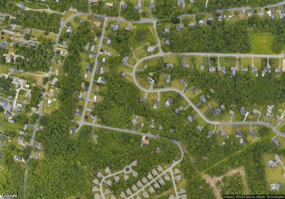
Map
Nearby Homes
- 259 Tickle Rd
- 0 Tickle Rd Unit 73453134
- 329 Tickle Rd
- 47 Devol Ave
- 33 Moniz Dr
- 100 Corys Ln
- 45 Greenfield Rd
- 218 American Legion Hwy
- 24 Greenfield Rd
- 40 Sycamore Ln
- 2 Magnolia Ln
- 105 Florence St
- 85 Watuppa Rd
- 771 Sanford Rd
- 179 Robert St
- 1023 Old Stafford Rd
- 8 Campion Ave
- 47 Robert St
- 71 Blackbird St
- 6 Angel Ct
Your Personal Tour Guide
Ask me questions while you tour the home.