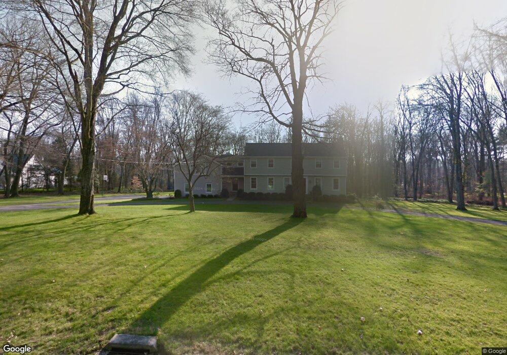
7 Dew Ln Darien, CT 06820
Estimated Value: $2,157,000 - $3,763,614
5
Beds
3
Baths
4,589
Sq Ft
$692/Sq Ft
Est. Value
About This Home
This home is located at 7 Dew Ln, Darien, CT 06820 and is currently estimated at $3,176,154, approximately $692 per square foot. 7 Dew Ln is a home located in Fairfield County with nearby schools including Ox Ridge Elementary School, Middlesex Middle School, and Darien High School.
Ownership History
Date
Name
Owned For
Owner Type
Purchase Details
Closed on
Aug 24, 2004
Sold by
Ryan Peter M
Bought by
Nedder Michael and Nedder Jane
Current Estimated Value
Home Financials for this Owner
Home Financials are based on the most recent Mortgage that was taken out on this home.
Original Mortgage
$1,000,000
Interest Rate
5.25%
Create a Home Valuation Report for This Property
The Home Valuation Report is an in-depth analysis detailing your home's value as well as a comparison with similar homes in the area
Home Values in the Area
Average Home Value in this Area
Purchase History
| Date | Buyer | Sale Price | Title Company |
|---|---|---|---|
| Nedder Michael | $1,525,000 | -- |
Source: Public Records
Mortgage History
| Date | Status | Borrower | Loan Amount |
|---|---|---|---|
| Open | Nedder Michael | $1,400,000 | |
| Closed | Nedder Michael | $1,000,000 |
Source: Public Records
Tax History
| Year | Tax Paid | Tax Assessment Tax Assessment Total Assessment is a certain percentage of the fair market value that is determined by local assessors to be the total taxable value of land and additions on the property. | Land | Improvement |
|---|---|---|---|---|
| 2025 | $29,560 | $1,909,530 | $1,180,410 | $729,120 |
| 2024 | $28,051 | $1,909,530 | $1,180,410 | $729,120 |
| 2023 | $23,175 | $1,316,000 | $786,940 | $529,060 |
| 2022 | $22,675 | $1,316,000 | $786,940 | $529,060 |
| 2021 | $22,161 | $1,316,000 | $786,940 | $529,060 |
| 2020 | $21,530 | $1,316,000 | $786,940 | $529,060 |
| 2019 | $21,675 | $1,316,000 | $786,940 | $529,060 |
| 2018 | $7,635 | $1,408,960 | $843,150 | $565,810 |
| 2017 | $7,403 | $1,408,960 | $843,150 | $565,810 |
| 2016 | $22,219 | $1,408,960 | $843,150 | $565,810 |
| 2015 | $21,628 | $1,408,960 | $843,150 | $565,810 |
| 2014 | $21,148 | $1,408,960 | $843,150 | $565,810 |
Source: Public Records
Map
Nearby Homes
- 63 Dorchester Rd
- 20 Marianne Rd
- 15 Marianne Rd
- 45 Princes Pine Rd
- 226 Putnam Rd
- 201 W Norwalk Rd
- 58 Old Rock Ln
- 28 Crooked Mile Rd
- 561 Middlesex Rd
- 7 Tommys Ln
- 96 Weed St
- 139 Jelliff Mill Rd
- 105 White Oak Shade Rd
- 48 Green Meadow Ln
- 12 Field Crest Rd
- 202 Weed St
- 25 Gower Rd
- 36 Village Dr
- 42 Hillcrest Rd
- 5 Wheat Ln
Your Personal Tour Guide
Ask me questions while you tour the home.