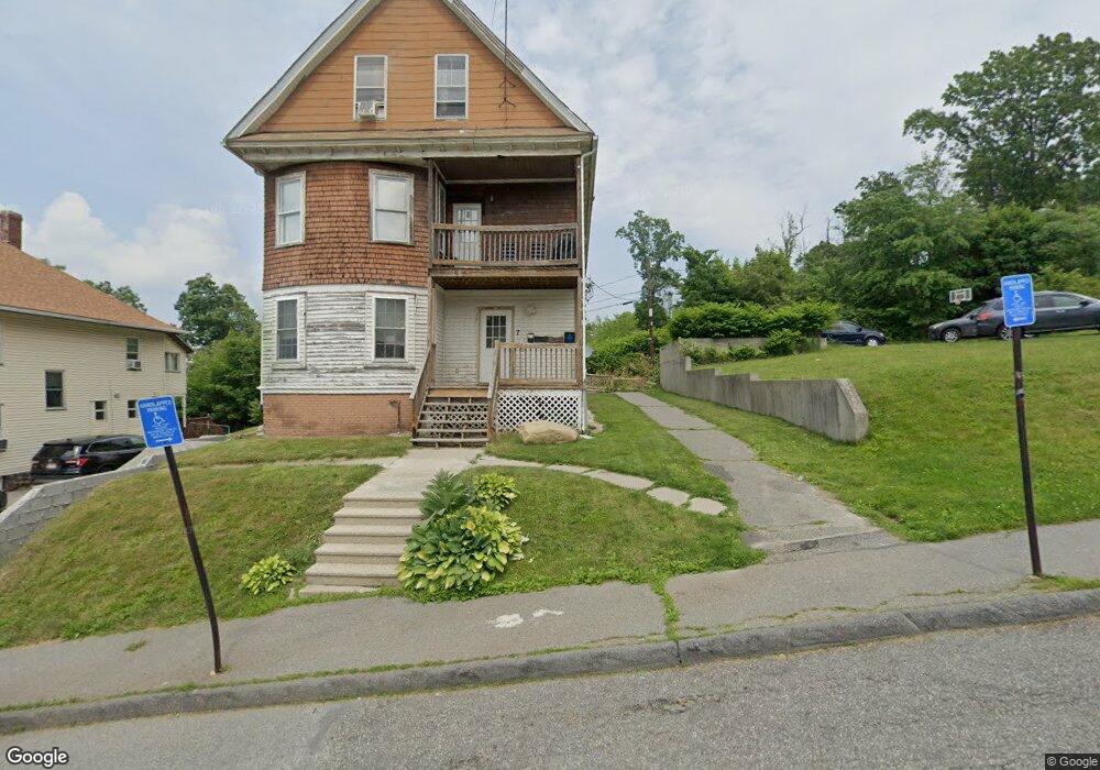
7 Dixon Ave Worcester, MA 01605
Brittan Square NeighborhoodEstimated Value: $725,000 - $807,000
6
Beds
3
Baths
3,176
Sq Ft
$243/Sq Ft
Est. Value
About This Home
This home is located at 7 Dixon Ave, Worcester, MA 01605 and is currently estimated at $771,333, approximately $242 per square foot. 7 Dixon Ave is a home located in Worcester County with nearby schools including Jacob Hiatt Magnet School, Chandler Magnet, and Wawecus Road School.
Ownership History
Date
Name
Owned For
Owner Type
Purchase Details
Closed on
Dec 27, 2023
Sold by
Dias Regina R
Bought by
7 Dixon Avenue Rt and Rodrigues
Current Estimated Value
Purchase Details
Closed on
May 28, 2010
Sold by
Ferranto Deborah A and Ferranto Edward P
Bought by
Dias Regina R
Home Financials for this Owner
Home Financials are based on the most recent Mortgage that was taken out on this home.
Original Mortgage
$180,074
Interest Rate
5.13%
Mortgage Type
Purchase Money Mortgage
Purchase Details
Closed on
Jan 29, 1993
Sold by
Meyer John S and Meyer Kathleen
Bought by
Ferranto Edward P and Perry Deborah A
Home Financials for this Owner
Home Financials are based on the most recent Mortgage that was taken out on this home.
Original Mortgage
$119,500
Interest Rate
7.96%
Create a Home Valuation Report for This Property
The Home Valuation Report is an in-depth analysis detailing your home's value as well as a comparison with similar homes in the area
Home Values in the Area
Average Home Value in this Area
Purchase History
| Date | Buyer | Sale Price | Title Company |
|---|---|---|---|
| 7 Dixon Avenue Rt | -- | None Available | |
| Dias Regina R | $182,500 | -- | |
| Ferranto Edward P | $118,500 | -- |
Source: Public Records
Mortgage History
| Date | Status | Borrower | Loan Amount |
|---|---|---|---|
| Previous Owner | Dias Regina R | $180,074 | |
| Previous Owner | Ferranto Edward P | $150,000 | |
| Previous Owner | Ferranto Edward P | $118,000 | |
| Previous Owner | Ferranto Edward P | $114,847 | |
| Previous Owner | Ferranto Edward P | $119,500 |
Source: Public Records
Tax History
| Year | Tax Paid | Tax Assessment Tax Assessment Total Assessment is a certain percentage of the fair market value that is determined by local assessors to be the total taxable value of land and additions on the property. | Land | Improvement |
|---|---|---|---|---|
| 2025 | $6,545 | $496,200 | $118,800 | $377,400 |
| 2024 | $6,417 | $466,700 | $118,800 | $347,900 |
| 2023 | $5,927 | $413,300 | $103,300 | $310,000 |
| 2022 | $5,301 | $348,500 | $82,700 | $265,800 |
| 2021 | $4,848 | $297,800 | $66,100 | $231,700 |
| 2020 | $4,259 | $250,500 | $66,100 | $184,400 |
| 2019 | $4,392 | $244,000 | $59,600 | $184,400 |
| 2018 | $4,468 | $236,300 | $59,600 | $176,700 |
| 2017 | $4,257 | $221,500 | $59,600 | $161,900 |
| 2016 | $4,083 | $198,100 | $43,900 | $154,200 |
| 2015 | $3,976 | $198,100 | $43,900 | $154,200 |
| 2014 | $3,871 | $198,100 | $43,900 | $154,200 |
Source: Public Records
Map
Nearby Homes
- 30 Melrose St
- 2 Selden St
- 33 Denmark St
- 25 Mckinley Rd
- 45 Goldthwaite Rd
- 27 Harlow St
- 17 Goucher Ave
- 82 Green Hill Pkwy
- 78 Green Hill Pkwy
- 74 Green Hill Pkwy
- 26 Orne St
- 15 Breck St
- 3 Perkins St
- 20B Edgeworth St
- 67 Rodney St
- 23 Dryden St
- 15 Ericsson St
- 24 Catharine St
- 3205 Halcyon Dr Unit 3205
- Lot 2 Ararat
Your Personal Tour Guide
Ask me questions while you tour the home.