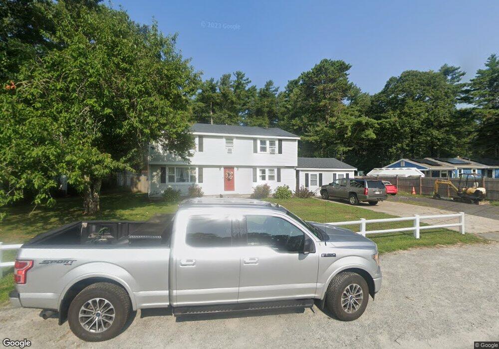
7 Dowd Ave Wareham, MA 02571
Estimated Value: $618,000 - $726,000
4
Beds
2
Baths
2,120
Sq Ft
$311/Sq Ft
Est. Value
About This Home
This home is located at 7 Dowd Ave, Wareham, MA 02571 and is currently estimated at $658,847, approximately $310 per square foot. 7 Dowd Ave is a home located in Plymouth County.
Ownership History
Date
Name
Owned For
Owner Type
Purchase Details
Closed on
Nov 16, 2011
Sold by
Park Jeffrey A and Park Carla M
Bought by
Tropeano Patrick G and Tropeano Daylene E
Current Estimated Value
Purchase Details
Closed on
Jun 29, 2007
Sold by
Wakefield Carl D and Wakefield Pamela L
Bought by
Park Jeffrey A and Park Carla M
Home Financials for this Owner
Home Financials are based on the most recent Mortgage that was taken out on this home.
Original Mortgage
$247,500
Interest Rate
6.24%
Mortgage Type
Purchase Money Mortgage
Create a Home Valuation Report for This Property
The Home Valuation Report is an in-depth analysis detailing your home's value as well as a comparison with similar homes in the area
Purchase History
| Date | Buyer | Sale Price | Title Company |
|---|---|---|---|
| Tropeano Patrick G | $195,000 | -- | |
| Tropeano Patrick G | $195,000 | -- | |
| Park Jeffrey A | $330,000 | -- | |
| Park Jeffrey A | $330,000 | -- |
Source: Public Records
Mortgage History
| Date | Status | Borrower | Loan Amount |
|---|---|---|---|
| Previous Owner | Park Jeffrey A | $247,500 | |
| Previous Owner | Park Jeffrey A | $49,500 |
Source: Public Records
Tax History
| Year | Tax Paid | Tax Assessment Tax Assessment Total Assessment is a certain percentage of the fair market value that is determined by local assessors to be the total taxable value of land and additions on the property. | Land | Improvement |
|---|---|---|---|---|
| 2025 | $5,626 | $539,900 | $124,100 | $415,800 |
| 2024 | $5,434 | $483,900 | $97,900 | $386,000 |
| 2023 | $4,857 | $431,500 | $88,900 | $342,600 |
| 2022 | $4,857 | $368,500 | $88,900 | $279,600 |
| 2021 | $4,781 | $355,500 | $88,900 | $266,600 |
| 2020 | $4,483 | $338,100 | $88,900 | $249,200 |
| 2019 | $3,978 | $299,300 | $88,900 | $210,400 |
| 2018 | $3,801 | $278,900 | $88,900 | $190,000 |
| 2017 | $3,685 | $274,000 | $88,900 | $185,100 |
| 2016 | $3,362 | $248,500 | $88,900 | $159,600 |
| 2015 | $3,248 | $248,500 | $88,900 | $159,600 |
| 2014 | $3,319 | $258,300 | $88,900 | $169,400 |
Source: Public Records
Map
Nearby Homes
- 10 Dowd Ave
- 65 Great Neck Rd
- 0 Squaw's Path
- 8 Over Jordan Rd
- 14 Over Jordan Rd
- 200 Great Neck Rd
- 7 Cranberry Ln
- 276a Onset Ave
- 1 Gibbs Ball Park Rd
- 391 Onset Ave
- 10 Beacon St Unit 83
- 26 Highland Ave
- 38 Amos Way
- 12 Beacon St Unit 84
- 124 Minot Ave Unit 1
- 10 East Blvd
- 10 East Blvd
- 7 Knowles Ave
- 35 Locust St
- 35 Locust St
Your Personal Tour Guide
Ask me questions while you tour the home.