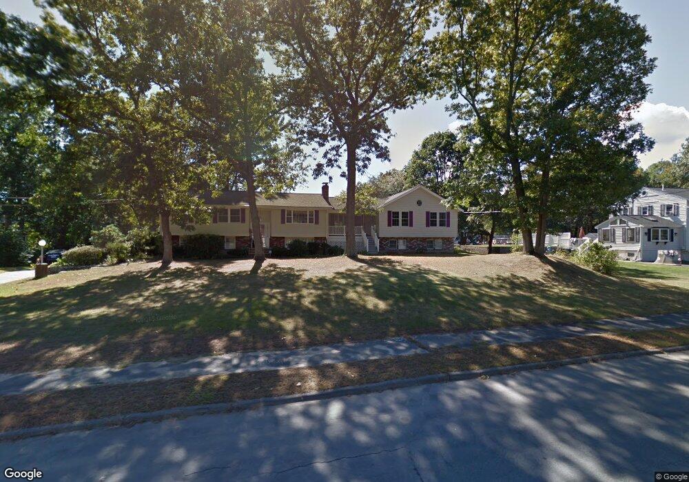
7 Draper Dr Wilmington, MA 01887
Estimated Value: $841,005 - $1,030,000
3
Beds
2
Baths
1,902
Sq Ft
$482/Sq Ft
Est. Value
About This Home
This home is located at 7 Draper Dr, Wilmington, MA 01887 and is currently estimated at $916,751, approximately $481 per square foot. 7 Draper Dr is a home located in Middlesex County with nearby schools including Wilmington Middle School, Wilmington High School, and Abundant Life Christian School and Childcare.
Ownership History
Date
Name
Owned For
Owner Type
Purchase Details
Closed on
Jun 7, 1990
Sold by
Branzetti Joseph O
Bought by
Trulli Dennis J
Current Estimated Value
Home Financials for this Owner
Home Financials are based on the most recent Mortgage that was taken out on this home.
Original Mortgage
$66,000
Interest Rate
10.39%
Mortgage Type
Purchase Money Mortgage
Create a Home Valuation Report for This Property
The Home Valuation Report is an in-depth analysis detailing your home's value as well as a comparison with similar homes in the area
Purchase History
| Date | Buyer | Sale Price | Title Company |
|---|---|---|---|
| Trulli Dennis J | $208,000 | -- |
Source: Public Records
Mortgage History
| Date | Status | Borrower | Loan Amount |
|---|---|---|---|
| Closed | Trulli Dennis J | $20,000 | |
| Closed | Trulli Dennis J | $66,000 |
Source: Public Records
Tax History
| Year | Tax Paid | Tax Assessment Tax Assessment Total Assessment is a certain percentage of the fair market value that is determined by local assessors to be the total taxable value of land and additions on the property. | Land | Improvement |
|---|---|---|---|---|
| 2025 | $9,745 | $851,100 | $339,100 | $512,000 |
| 2024 | $9,647 | $844,000 | $339,100 | $504,900 |
| 2023 | $9,101 | $762,200 | $287,800 | $474,400 |
| 2022 | $8,721 | $669,300 | $239,700 | $429,600 |
| 2021 | $8,701 | $628,700 | $217,900 | $410,800 |
| 2020 | $9,089 | $669,300 | $217,900 | $451,400 |
| 2019 | $8,496 | $617,900 | $213,000 | $404,900 |
| 2018 | $7,977 | $553,600 | $202,900 | $350,700 |
| 2017 | $7,978 | $552,100 | $202,900 | $349,200 |
| 2016 | $7,537 | $515,200 | $193,400 | $321,800 |
| 2015 | $7,126 | $495,900 | $193,400 | $302,500 |
| 2014 | $6,696 | $470,200 | $184,200 | $286,000 |
Source: Public Records
Map
Nearby Homes
- 11 Hathaway Rd
- 280 Martins Landing Unit 312
- 220 Martins Landing Unit 411
- 220 Martins Landing Unit 410
- 220 Martins Landing Unit 309
- 260 Martins Landing Unit 508
- 230 Martins Landing Unit 209
- 200 Martins Landing Unit 102
- 250 Martins Landing Unit 402
- 300 Martins Landing Unit 505
- 320 Martins Landing Unit 401
- 320 Martins Landing Unit 310
- 320 Martins Landing Unit 211
- 320 Martins Landing Unit 2410
- 320 Martins Landing Unit 502
- 320 Martins Landing Unit 107
- 320 Martins Landing Unit 404
- 320 Martins Landing Unit 501
- 320 Martins Landing Unit 108
- 21 Marcia Rd
Your Personal Tour Guide
Ask me questions while you tour the home.