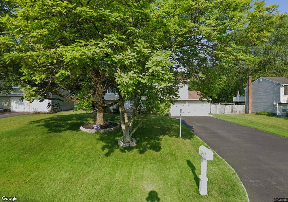
7 Dussault Dr Latham, NY 12110
Estimated Value: $376,310 - $422,000
4
Beds
2
Baths
1,745
Sq Ft
$230/Sq Ft
Est. Value
About This Home
This home is located at 7 Dussault Dr, Latham, NY 12110 and is currently estimated at $401,828, approximately $230 per square foot. 7 Dussault Dr is a home located in Albany County with nearby schools including Forts Ferry School, Shaker Junior High School, and Shaker High School.
Ownership History
Date
Name
Owned For
Owner Type
Purchase Details
Closed on
Aug 17, 2020
Sold by
Franconia Real Estate Services Inc
Bought by
Brady Stephen R and Brady And Jones Living Trust
Current Estimated Value
Purchase Details
Closed on
Aug 14, 2020
Sold by
Alarcon Dennis R and Alarcon Nurka Boja
Bought by
Franconia Real Estate Services Inc and Allegiance Government Relocation
Purchase Details
Closed on
Sep 7, 2006
Sold by
Stuart Donald W
Bought by
Wilfore David
Home Financials for this Owner
Home Financials are based on the most recent Mortgage that was taken out on this home.
Original Mortgage
$47,380
Interest Rate
6.59%
Mortgage Type
Stand Alone Second
Purchase Details
Closed on
Jun 30, 1993
Sold by
Dyer Michael P and Dyer Kathlnne M
Bought by
Stuart Donald W and Stuart Rose M
Create a Home Valuation Report for This Property
The Home Valuation Report is an in-depth analysis detailing your home's value as well as a comparison with similar homes in the area
Home Values in the Area
Average Home Value in this Area
Purchase History
| Date | Buyer | Sale Price | Title Company |
|---|---|---|---|
| Brady Stephen R | $285,000 | None Available | |
| Franconia Real Estate Services Inc | $285,000 | None Available | |
| Wilfore David | $230,001 | Susan Hoblock | |
| Wilfore David | $237,000 | None Available | |
| Stuart Donald W | $117,000 | -- |
Source: Public Records
Mortgage History
| Date | Status | Borrower | Loan Amount |
|---|---|---|---|
| Previous Owner | Wilfore David | $47,380 | |
| Previous Owner | Wilfore David | $189,520 |
Source: Public Records
Tax History Compared to Growth
Tax History
| Year | Tax Paid | Tax Assessment Tax Assessment Total Assessment is a certain percentage of the fair market value that is determined by local assessors to be the total taxable value of land and additions on the property. | Land | Improvement |
|---|---|---|---|---|
| 2024 | $4,501 | $107,800 | $27,000 | $80,800 |
| 2023 | $4,389 | $107,800 | $27,000 | $80,800 |
| 2022 | $4,468 | $107,800 | $27,000 | $80,800 |
| 2021 | $4,449 | $107,800 | $27,000 | $80,800 |
| 2020 | $3,876 | $107,800 | $27,000 | $80,800 |
| 2019 | $2,187 | $107,800 | $27,000 | $80,800 |
| 2018 | $3,791 | $107,800 | $27,000 | $80,800 |
| 2017 | $0 | $107,800 | $27,000 | $80,800 |
| 2016 | $3,663 | $107,800 | $27,000 | $80,800 |
| 2015 | -- | $107,800 | $27,000 | $80,800 |
| 2014 | -- | $107,800 | $27,000 | $80,800 |
Source: Public Records
Map
Nearby Homes