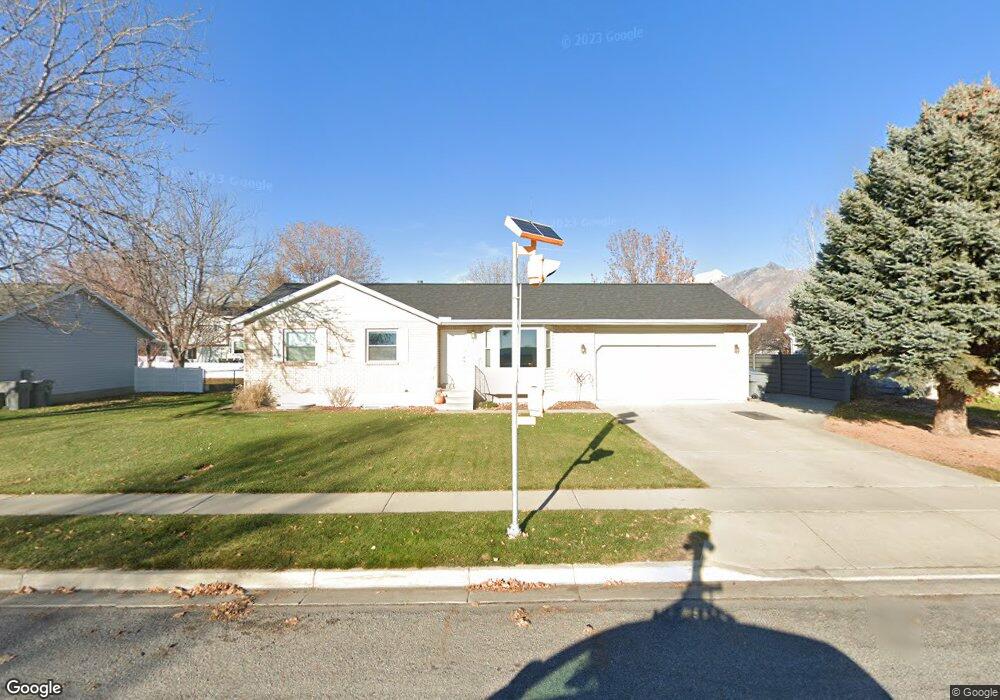
7 E 1340 N American Fork, UT 84003
Estimated Value: $556,000 - $605,000
4
Beds
3
Baths
2,160
Sq Ft
$268/Sq Ft
Est. Value
About This Home
This home is located at 7 E 1340 N, American Fork, UT 84003 and is currently estimated at $579,657, approximately $268 per square foot. 7 E 1340 N is a home located in Utah County with nearby schools including Legacy Elementary School, American Fork Junior High School, and American Fork High School.
Ownership History
Date
Name
Owned For
Owner Type
Purchase Details
Closed on
Nov 9, 2007
Sold by
Goodrich Doris D and Simmons Lynette
Bought by
Benson Daniel K and Benson Jodi
Current Estimated Value
Home Financials for this Owner
Home Financials are based on the most recent Mortgage that was taken out on this home.
Original Mortgage
$184,000
Outstanding Balance
$116,539
Interest Rate
6.4%
Mortgage Type
Purchase Money Mortgage
Estimated Equity
$463,118
Purchase Details
Closed on
Aug 23, 2004
Sold by
Goodrich Doris D
Bought by
Goodrich Doris D and Simmons Lynette
Create a Home Valuation Report for This Property
The Home Valuation Report is an in-depth analysis detailing your home's value as well as a comparison with similar homes in the area
Home Values in the Area
Average Home Value in this Area
Purchase History
| Date | Buyer | Sale Price | Title Company |
|---|---|---|---|
| Benson Daniel K | -- | Meridian Title Company Lehi | |
| Goodrich Doris D | -- | First American Title Insuran |
Source: Public Records
Mortgage History
| Date | Status | Borrower | Loan Amount |
|---|---|---|---|
| Open | Benson Daniel K | $184,000 |
Source: Public Records
Tax History Compared to Growth
Tax History
| Year | Tax Paid | Tax Assessment Tax Assessment Total Assessment is a certain percentage of the fair market value that is determined by local assessors to be the total taxable value of land and additions on the property. | Land | Improvement |
|---|---|---|---|---|
| 2025 | $2,365 | $288,035 | $231,700 | $292,000 |
| 2024 | $2,365 | $262,790 | $0 | $0 |
| 2023 | $2,233 | $263,065 | $0 | $0 |
| 2022 | $2,310 | $268,565 | $0 | $0 |
| 2021 | $1,974 | $358,400 | $166,300 | $192,100 |
| 2020 | $1,844 | $324,700 | $148,500 | $176,200 |
| 2019 | $1,706 | $310,800 | $137,300 | $173,500 |
| 2018 | $1,612 | $280,800 | $129,900 | $150,900 |
| 2017 | $1,520 | $142,835 | $0 | $0 |
| 2016 | $1,463 | $127,765 | $0 | $0 |
| 2015 | $1,435 | $118,910 | $0 | $0 |
| 2014 | $1,382 | $112,970 | $0 | $0 |
Source: Public Records
Map
Nearby Homes
- 35 W 1350 N
- 179 W 1290 N
- 1201 N 160 E
- 1071 Timpview Dr
- 287 W 1360 N
- 9780 N 6000 W
- 703 S 850 W
- 356 W 1300 N
- 1438 N 400 W
- 5973 W 9960 N
- 5423 W Pebble Ln
- 9947 N Yorkshire Ct
- 344 W 1080 N
- 10238 N 6530 W Unit 15
- 1051 N 390 E Unit 103
- 6079 W Whisper Ln Unit 404
- 1220 E 700 N
- 1039 N 390 E Unit 102
- 11338 N Annes Way Unit 8
- 6111 W Whisper Ln Unit 402