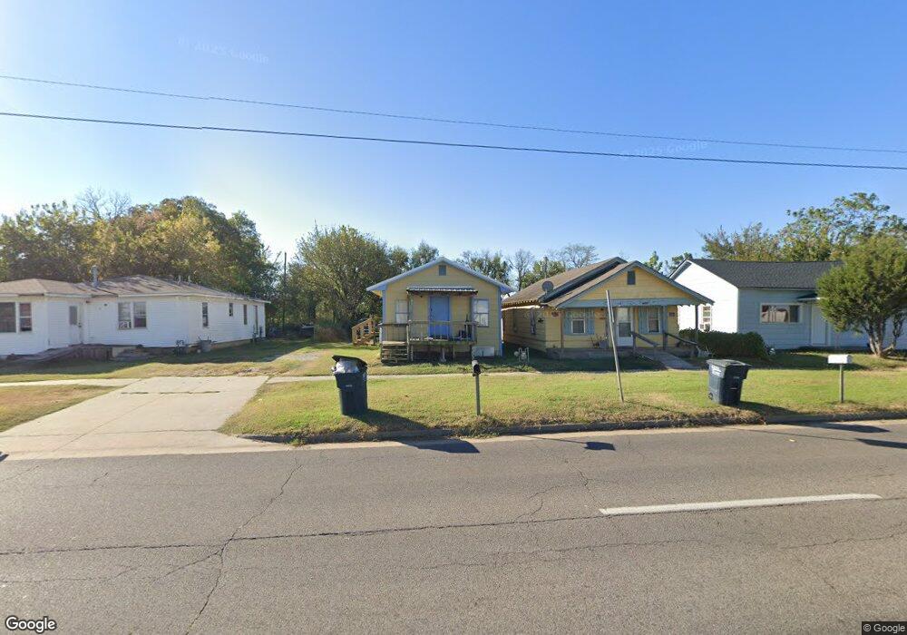
7 E Farrall Shawnee, OK 74801
Estimated Value: $66,279 - $86,000
3
Beds
1
Bath
684
Sq Ft
$112/Sq Ft
Est. Value
About This Home
This home is located at 7 E Farrall, Shawnee, OK 74801 and is currently estimated at $76,820, approximately $112 per square foot. 7 E Farrall is a home located in Pottawatomie County with nearby schools including Horace Mann Elementary School, Shawnee Middle School, and Shawnee High School.
Ownership History
Date
Name
Owned For
Owner Type
Purchase Details
Closed on
Jul 24, 2023
Sold by
Washburn Charles Keith
Bought by
Washburn Family Trust and Washburn
Current Estimated Value
Purchase Details
Closed on
Aug 2, 2007
Sold by
Jackson Rolland M and Jackson Delores Faye
Bought by
Washburn Keith and Washburn Vicki
Home Financials for this Owner
Home Financials are based on the most recent Mortgage that was taken out on this home.
Original Mortgage
$13,500
Interest Rate
10%
Mortgage Type
Purchase Money Mortgage
Purchase Details
Closed on
May 8, 1992
Sold by
Thompson Verna
Bought by
Jackson Rolland
Create a Home Valuation Report for This Property
The Home Valuation Report is an in-depth analysis detailing your home's value as well as a comparison with similar homes in the area
Home Values in the Area
Average Home Value in this Area
Purchase History
| Date | Buyer | Sale Price | Title Company |
|---|---|---|---|
| Washburn Family Trust | -- | None Listed On Document | |
| Washburn Keith | $13,500 | None Available | |
| Jackson Rolland | -- | -- |
Source: Public Records
Mortgage History
| Date | Status | Borrower | Loan Amount |
|---|---|---|---|
| Previous Owner | Washburn Keith | $13,500 |
Source: Public Records
Tax History Compared to Growth
Tax History
| Year | Tax Paid | Tax Assessment Tax Assessment Total Assessment is a certain percentage of the fair market value that is determined by local assessors to be the total taxable value of land and additions on the property. | Land | Improvement |
|---|---|---|---|---|
| 2025 | $203 | $2,070 | $600 | $1,470 |
| 2024 | $196 | $1,972 | $600 | $1,372 |
| 2023 | $196 | $1,878 | $600 | $1,278 |
| 2022 | $183 | $1,788 | $600 | $1,188 |
| 2021 | $172 | $1,703 | $600 | $1,103 |
| 2020 | $172 | $1,703 | $600 | $1,103 |
| 2019 | $178 | $1,703 | $600 | $1,103 |
| 2018 | $173 | $1,686 | $600 | $1,086 |
| 2017 | $176 | $1,741 | $600 | $1,141 |
| 2016 | $169 | $1,660 | $600 | $1,060 |
| 2015 | $158 | $1,581 | $600 | $981 |
| 2014 | $151 | $1,508 | $300 | $1,208 |
Source: Public Records
Map
Nearby Homes
- 803 S Bell Ave
- 628 S Philadelphia Ave
- 323 S Park Ave
- 521 S Louisa Ave
- 00 Gordon Cooper 12 56 Acres Dr
- 238 S Oklahoma Ave
- 245 S Oklahoma Ave
- 312 S Minnesota Ave
- 405 S Minnesota Ave
- 403 S Minnesota Ave
- 243 S Minnesota Ave
- 627 W Hayes St
- 426 N Beard Ave
- 201 S Dixon Ave
- 318 N Aydelotte Ave
- 222 W Highland St
- 508 N Market Ave Unit A & B
- 209 S Eden Ave
- 509 N Park Ave
- 1015 E Main St