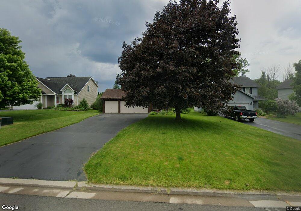
7 E Pointe Fairport, NY 14450
Estimated Value: $345,000 - $371,000
3
Beds
3
Baths
1,585
Sq Ft
$227/Sq Ft
Est. Value
About This Home
This home is located at 7 E Pointe, Fairport, NY 14450 and is currently estimated at $359,251, approximately $226 per square foot. 7 E Pointe is a home located in Monroe County with nearby schools including Dudley School, Northside School, and Johanna Perrin Middle School.
Ownership History
Date
Name
Owned For
Owner Type
Purchase Details
Closed on
Mar 16, 2007
Sold by
Westrich Kevin
Bought by
Pope David
Current Estimated Value
Home Financials for this Owner
Home Financials are based on the most recent Mortgage that was taken out on this home.
Original Mortgage
$130,400
Outstanding Balance
$79,532
Interest Rate
6.4%
Mortgage Type
New Conventional
Estimated Equity
$279,719
Purchase Details
Closed on
Jun 15, 2001
Sold by
Sharman Jeffrey R
Bought by
Westrich Kevin
Purchase Details
Closed on
May 28, 1996
Sold by
Lu Lucy P
Bought by
Sharman Jeffrey P and Sharman Mary P
Create a Home Valuation Report for This Property
The Home Valuation Report is an in-depth analysis detailing your home's value as well as a comparison with similar homes in the area
Home Values in the Area
Average Home Value in this Area
Purchase History
| Date | Buyer | Sale Price | Title Company |
|---|---|---|---|
| Pope David | $163,000 | Daniel Bryson | |
| Westrich Kevin | $136,000 | Harry Messina | |
| Sharman Jeffrey P | $122,000 | -- |
Source: Public Records
Mortgage History
| Date | Status | Borrower | Loan Amount |
|---|---|---|---|
| Open | Pope David | $130,400 |
Source: Public Records
Tax History
| Year | Tax Paid | Tax Assessment Tax Assessment Total Assessment is a certain percentage of the fair market value that is determined by local assessors to be the total taxable value of land and additions on the property. | Land | Improvement |
|---|---|---|---|---|
| 2024 | $6,693 | $184,000 | $56,100 | $127,900 |
| 2023 | $6,429 | $184,000 | $56,100 | $127,900 |
| 2022 | $6,818 | $184,000 | $56,100 | $127,900 |
| 2021 | $6,799 | $184,000 | $56,100 | $127,900 |
| 2020 | $5,985 | $184,000 | $56,100 | $127,900 |
| 2019 | $5,347 | $184,000 | $56,100 | $127,900 |
| 2018 | $5,787 | $184,000 | $56,100 | $127,900 |
| 2017 | $3,271 | $166,300 | $56,100 | $110,200 |
| 2016 | $5,347 | $166,300 | $56,100 | $110,200 |
| 2015 | -- | $166,300 | $56,100 | $110,200 |
| 2014 | -- | $166,300 | $56,100 | $110,200 |
Source: Public Records
Map
Nearby Homes
- 19 Williamsburg Dr
- 16 Mount Vernon Cir
- 53 Squirrels Heath Rd
- 83 Country Downs Cir
- 55 Frank St
- 3 Rockford Ln
- 582 Watson Rd
- 70 High St
- 95 Summit St
- 531 MacEdon Center Rd
- 70 Summit St
- 38 Winchester Dr
- 18 Deland Park A
- 142 S Main St
- 28 Misty Pine Rd
- 8 Packet Boat Dr
- 6 Noahs Bluff
- 8 Noahs Bluff
- 4 Noahs Bluff
- 5 Noahs Bluff