7 E Sand Pond Rd Limington, ME 04049
Estimated Value: $298,000 - $455,450
3
Beds
2
Baths
1,152
Sq Ft
$315/Sq Ft
Est. Value
About This Home
This home is located at 7 E Sand Pond Rd, Limington, ME 04049 and is currently estimated at $363,113, approximately $315 per square foot. 7 E Sand Pond Rd is a home located in York County with nearby schools including Bonny Eagle High School.
Ownership History
Date
Name
Owned For
Owner Type
Purchase Details
Closed on
Mar 23, 2017
Sold by
Petrin Rosemary
Bought by
Petrin Rosemary and Benner Brett
Current Estimated Value
Home Financials for this Owner
Home Financials are based on the most recent Mortgage that was taken out on this home.
Original Mortgage
$179,350
Interest Rate
4.17%
Mortgage Type
New Conventional
Create a Home Valuation Report for This Property
The Home Valuation Report is an in-depth analysis detailing your home's value as well as a comparison with similar homes in the area
Home Values in the Area
Average Home Value in this Area
Purchase History
| Date | Buyer | Sale Price | Title Company |
|---|---|---|---|
| Petrin Rosemary | -- | -- |
Source: Public Records
Mortgage History
| Date | Status | Borrower | Loan Amount |
|---|---|---|---|
| Closed | Petrin Rosemary | $179,350 |
Source: Public Records
Tax History
| Year | Tax Paid | Tax Assessment Tax Assessment Total Assessment is a certain percentage of the fair market value that is determined by local assessors to be the total taxable value of land and additions on the property. | Land | Improvement |
|---|---|---|---|---|
| 2025 | $3,707 | $331,000 | $121,200 | $209,800 |
| 2024 | $3,717 | $331,000 | $121,200 | $209,800 |
| 2023 | $3,386 | $331,000 | $121,200 | $209,800 |
| 2022 | $2,739 | $185,700 | $80,800 | $104,900 |
| 2021 | $2,451 | $185,700 | $80,800 | $104,900 |
| 2020 | $2,284 | $185,700 | $80,800 | $104,900 |
| 2019 | $2,284 | $185,700 | $80,800 | $104,900 |
| 2017 | $2,191 | $185,700 | $80,800 | $104,900 |
| 2016 | $2,089 | $185,700 | $80,800 | $104,900 |
| 2015 | $2,024 | $185,700 | $80,800 | $104,900 |
| 2014 | $2,024 | $185,700 | $80,800 | $104,900 |
| 2013 | $1,950 | $185,700 | $80,800 | $104,900 |
Source: Public Records
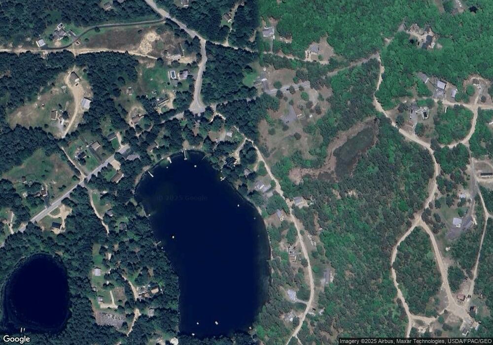
Map
Nearby Homes
- Lot 8 Pelletier Dr
- Lot 10 Pelletier Dr
- 7 Pelletier Dr
- 15 Hasty Hill Rd
- 530 Cape Rd
- 53 Cape Rd
- TBD Saco Rd
- 208 Boothby Rd
- 6 Moody Rd
- 13 Angelwood Road Extension
- 252 Plains Rd
- 433 Plains Rd
- 19 Old Limerick Rd
- 1044 Ossipee Trail W
- 12 Totem Pines Dr
- 1102 Cape Rd
- 107 Sokokis Trail
- 37 High St
- 4 Moderation St
- 2 Bonny Eagle Rd
- 9 E Sand Pond Rd
- 5 E Sand Pond Rd
- 11 E Sand Pond Rd
- 3 E Sand Pond Rd
- 1 E Sand Pond Rd
- 1 E East Sand Pond Rd
- 15 E Sand Pond Rd
- 460 Sand Pond Rd
- 470 Sand Pond Rd
- 474 Sand Pond Rd
- 459 E Sand Pond Rd
- 0 Sand Pond Rd
- 19 E Sand Pond Rd
- 459 Sand Pond Rd
- 476 Sand Pond Rd
- 0 Sand Pond R Rd Unit 1487316
- TBD Sand Pond Rd
- 478 Sand Pond Rd
- 325 Hardscrabble Rd
- 469 Sand Pond Rd
Your Personal Tour Guide
Ask me questions while you tour the home.