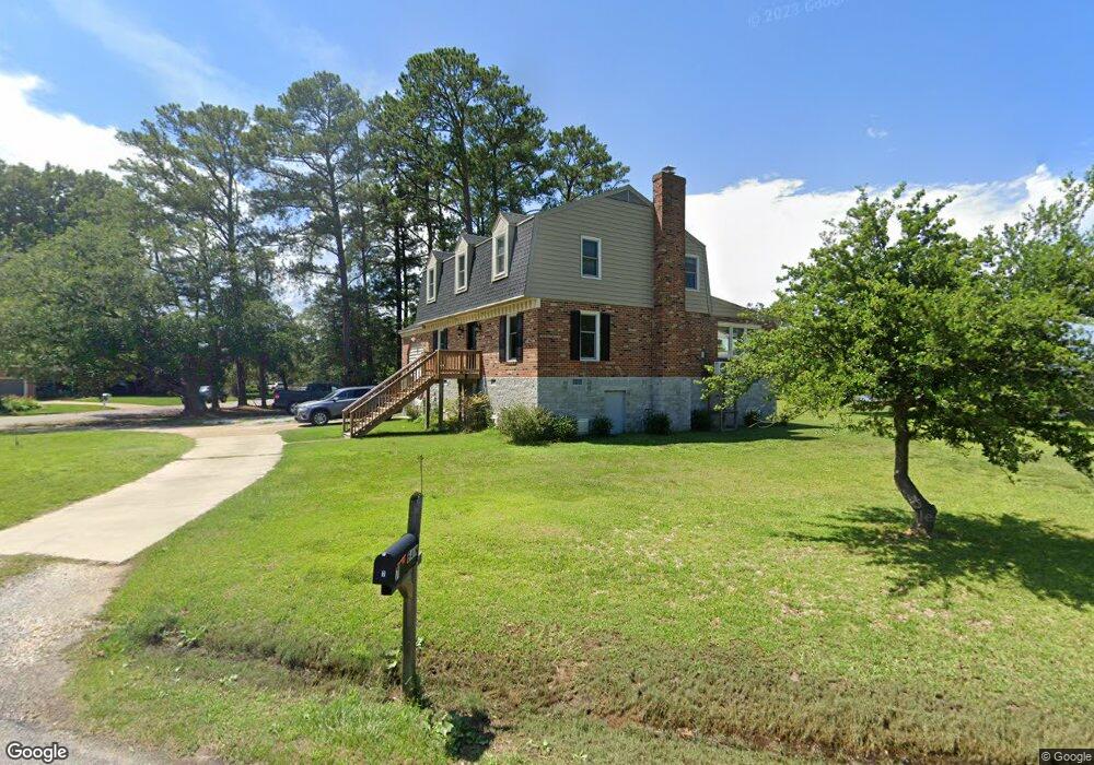
7 E Sandy Point Rd Poquoson, VA 23662
Poquoson Shores NeighborhoodEstimated Value: $538,980 - $730,000
4
Beds
3
Baths
2,178
Sq Ft
$278/Sq Ft
Est. Value
About This Home
This home is located at 7 E Sandy Point Rd, Poquoson, VA 23662 and is currently estimated at $604,495, approximately $277 per square foot. 7 E Sandy Point Rd is a home located in Poquoson City with nearby schools including Summit Christian Academy - Upper School.
Ownership History
Date
Name
Owned For
Owner Type
Purchase Details
Closed on
Jan 30, 2015
Sold by
Johnson Andrew P
Bought by
Bain Thomas C
Current Estimated Value
Home Financials for this Owner
Home Financials are based on the most recent Mortgage that was taken out on this home.
Original Mortgage
$345,800
Outstanding Balance
$265,345
Interest Rate
3.81%
Mortgage Type
New Conventional
Estimated Equity
$339,150
Purchase Details
Closed on
Oct 18, 2011
Sold by
Phillips Daniel M
Bought by
Johnson Andrew P
Home Financials for this Owner
Home Financials are based on the most recent Mortgage that was taken out on this home.
Original Mortgage
$337,487
Interest Rate
4.15%
Mortgage Type
VA
Create a Home Valuation Report for This Property
The Home Valuation Report is an in-depth analysis detailing your home's value as well as a comparison with similar homes in the area
Home Values in the Area
Average Home Value in this Area
Purchase History
| Date | Buyer | Sale Price | Title Company |
|---|---|---|---|
| Bain Thomas C | $364,000 | -- | |
| Johnson Andrew P | $350,000 | -- |
Source: Public Records
Mortgage History
| Date | Status | Borrower | Loan Amount |
|---|---|---|---|
| Open | Bain Thomas C | $345,800 | |
| Previous Owner | Johnson Andrew P | $337,487 |
Source: Public Records
Tax History Compared to Growth
Tax History
| Year | Tax Paid | Tax Assessment Tax Assessment Total Assessment is a certain percentage of the fair market value that is determined by local assessors to be the total taxable value of land and additions on the property. | Land | Improvement |
|---|---|---|---|---|
| 2024 | $5,076 | $445,300 | $177,300 | $268,000 |
| 2023 | $4,943 | $445,300 | $177,300 | $268,000 |
| 2022 | $4,731 | $418,700 | $177,400 | $241,300 |
| 2021 | $4,731 | $418,700 | $177,400 | $241,300 |
| 2020 | -- | $395,400 | $177,400 | $218,000 |
| 2019 | -- | $395,400 | $177,400 | $218,000 |
| 2018 | -- | $400,800 | $177,400 | $223,400 |
| 2017 | -- | $179,900 | $32,000 | $147,900 |
| 2016 | -- | $179,900 | $32,000 | $147,900 |
| 2015 | -- | $179,900 | $32,000 | $147,900 |
| 2013 | -- | $179,900 | $32,000 | $147,900 |
Source: Public Records
Map
Nearby Homes
- 1 Phillips Rd
- 15+AC Browns Neck Rd
- 41 W Sandy Point Rd
- 105 Rens Rd Unit 30
- 105 Rens Rd Unit 2
- 105 Rens Rd Unit 74
- 105 Rens Rd Unit Lot 48
- 28 Pasture Rd
- 108 Rens Rd
- 35 River Rd
- 102 Blue Crab Dr
- 29 River Rd
- 6 Lessies Dr
- 8 Wornom Farm Rd
- 11 Valmoore Dr
- 62 Rens Rd
- 21 Rens Rd
- 11 Dorothy Dr
- 1.55ac Holloway Rd
- 718C Poquoson Ave
- 17 E Sandy Point Rd
- 14 E Sandy Point Rd
- 3 E Sandy Point Rd
- 10 E Sandy Point Rd
- 16 E Sandy Point Rd
- 8 E Sandy Point Rd
- 6 E Sandy Point Rd
- 12 E Sandy Point Rd
- 19 E Sandy Point Rd
- 27 E Sandy Point Rd
- 18 E Sandy Point Rd
- 1 E Sandy Point Rd
- 21 E Sandy Point Rd
- 4 E Sandy Point Rd
- 2 E Sandy Point Rd
- 97 Browns Neck Rd
- 20 E Sandy Point Rd
- 99 Browns Neck Rd
- 95 Browns Neck Rd
- 14 W Sandy Point Rd