Estimated Value: $715,000 - $929,000
4
Beds
3
Baths
1,920
Sq Ft
$417/Sq Ft
Est. Value
About This Home
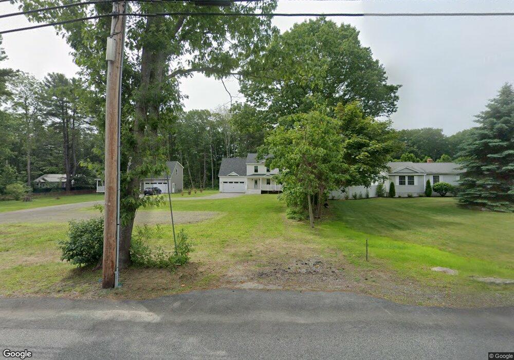
This home is located at 7 Ebb Tide Way, Wells, ME 04090 and is currently estimated at $800,516, approximately $416 per square foot. 7 Ebb Tide Way is a home with nearby schools including Wells Junior High School, Wells Elementary School, and Wells High School.
Ownership History
Date
Name
Owned For
Owner Type
Purchase Details
Closed on
Mar 31, 2017
Sold by
Prosperity Llc
Bought by
Robinson Margaret M
Current Estimated Value
Home Financials for this Owner
Home Financials are based on the most recent Mortgage that was taken out on this home.
Original Mortgage
$80,000
Interest Rate
4.15%
Mortgage Type
Unknown
Purchase Details
Closed on
Jan 10, 2017
Sold by
Clark David
Bought by
Prosperity Llc
Home Financials for this Owner
Home Financials are based on the most recent Mortgage that was taken out on this home.
Original Mortgage
$190,000
Interest Rate
4.03%
Mortgage Type
Purchase Money Mortgage
Create a Home Valuation Report for This Property
The Home Valuation Report is an in-depth analysis detailing your home's value as well as a comparison with similar homes in the area
Home Values in the Area
Average Home Value in this Area
Purchase History
| Date | Buyer | Sale Price | Title Company |
|---|---|---|---|
| Robinson Margaret M | -- | -- | |
| Prosperity Llc | -- | -- |
Source: Public Records
Mortgage History
| Date | Status | Borrower | Loan Amount |
|---|---|---|---|
| Closed | Robinson Margaret M | $80,000 | |
| Closed | Prosperity Llc | $190,000 |
Source: Public Records
Tax History Compared to Growth
Tax History
| Year | Tax Paid | Tax Assessment Tax Assessment Total Assessment is a certain percentage of the fair market value that is determined by local assessors to be the total taxable value of land and additions on the property. | Land | Improvement |
|---|---|---|---|---|
| 2024 | $3,612 | $594,080 | $131,430 | $462,650 |
| 2023 | $3,541 | $594,080 | $131,430 | $462,650 |
| 2022 | $3,426 | $327,550 | $59,690 | $267,860 |
| 2021 | $3,446 | $327,550 | $56,190 | $271,360 |
| 2020 | $3,433 | $327,550 | $56,400 | $271,150 |
| 2019 | $3,413 | $327,550 | $56,400 | $271,150 |
| 2018 | $3,380 | $327,550 | $59,690 | $267,860 |
| 2017 | $3,328 | $327,550 | $59,690 | $267,860 |
| 2016 | $600 | $59,690 | $59,690 | $0 |
Source: Public Records
Map
Nearby Homes
- 32 Tatnic Rd
- 34 Brookside Cir
- 56 Kings Hwy
- 64 Old Kings Hwy
- 76 Post Rd Unit 16M
- 76 Post Rd Unit 17M &18M
- 31 Rebecca Rd
- 9 Bourne Ave Unit P-22
- 9 Bourne Ave Unit B6
- 20 Ocean Heights Ln
- 62 Moody Heights
- 22 Adams Ln
- 191 Tatnic Rd Unit 73
- 92 Avandah Way
- 12 Whiporwill Dr
- 17 White Cap Ln
- 1 Old County Rd Unit 702
- 1 Old County Rd Unit 165
- 1 Old County Rd Unit 132
- 21 Beach Plum Ln