7 Eldridge Rd Boxboro, MA 01719
Estimated Value: $993,888
Studio
--
Bath
--
Sq Ft
65,340
Sq Ft Lot
About This Home
This home is located at 7 Eldridge Rd, Boxboro, MA 01719 and is currently priced at $993,888. 7 Eldridge Rd is a home located in Middlesex County with nearby schools including Acton-Boxborough Regional High School.
Ownership History
Date
Name
Owned For
Owner Type
Purchase Details
Closed on
Jan 26, 2015
Sold by
Calabresi Tracy M and Calabresi Francis J
Bought by
Calabresi Francis J
Current Estimated Value
Home Financials for this Owner
Home Financials are based on the most recent Mortgage that was taken out on this home.
Original Mortgage
$115,000
Outstanding Balance
$87,451
Interest Rate
3.96%
Mortgage Type
New Conventional
Purchase Details
Closed on
Apr 29, 1998
Sold by
Murphy Leonard F and Murphy Theresa D
Bought by
Calibresi Francis J and Calabresi Tracy M
Home Financials for this Owner
Home Financials are based on the most recent Mortgage that was taken out on this home.
Original Mortgage
$224,000
Interest Rate
7.04%
Mortgage Type
Purchase Money Mortgage
Purchase Details
Closed on
Jul 29, 1988
Sold by
Denniston David B
Bought by
Murphy Leonard F
Create a Home Valuation Report for This Property
The Home Valuation Report is an in-depth analysis detailing your home's value as well as a comparison with similar homes in the area
Home Values in the Area
Average Home Value in this Area
Purchase History
| Date | Buyer | Sale Price | Title Company |
|---|---|---|---|
| Calabresi Francis J | -- | -- | |
| Calibresi Francis J | $280,000 | -- | |
| Murphy Leonard F | $235,000 | -- |
Source: Public Records
Mortgage History
| Date | Status | Borrower | Loan Amount |
|---|---|---|---|
| Open | Calabresi Francis J | $115,000 | |
| Previous Owner | Murphy Leonard F | $224,000 | |
| Previous Owner | Murphy Leonard F | $36,000 | |
| Previous Owner | Murphy Leonard F | $31,000 |
Source: Public Records
Tax History
| Year | Tax Paid | Tax Assessment Tax Assessment Total Assessment is a certain percentage of the fair market value that is determined by local assessors to be the total taxable value of land and additions on the property. | Land | Improvement |
|---|---|---|---|---|
| 2025 | $171 | $11,300 | $11,300 | $0 |
| 2024 | $169 | $11,300 | $11,300 | $0 |
| 2023 | $157 | $10,100 | $10,100 | $0 |
| 2022 | $176 | $10,100 | $10,100 | $0 |
| 2020 | $169 | $10,100 | $10,100 | $0 |
| 2019 | $11,367 | $10,100 | $10,100 | $0 |
| 2018 | $8,096 | $9,000 | $9,000 | $0 |
| 2017 | $6,103 | $9,000 | $9,000 | $0 |
| 2016 | $147 | $9,000 | $9,000 | $0 |
| 2015 | $117 | $7,000 | $7,000 | $0 |
| 2014 | $120 | $6,800 | $6,800 | $0 |
Source: Public Records
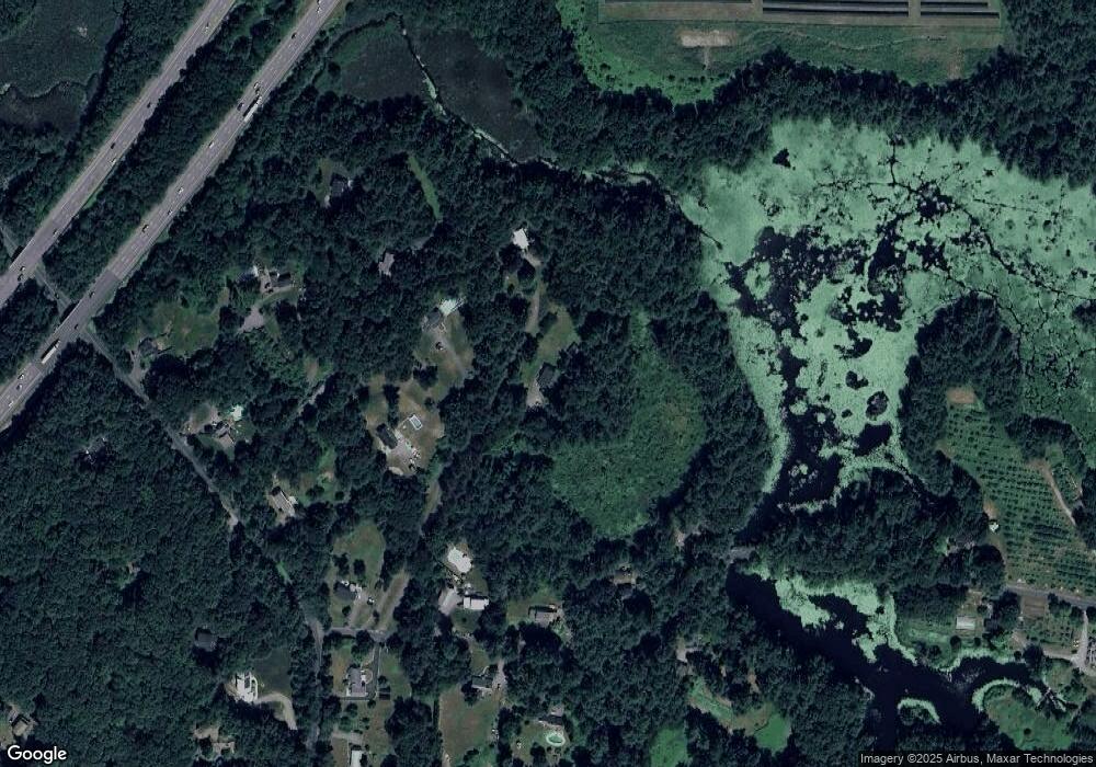
Map
Nearby Homes
- 555 Old Harvard Rd
- 310 Codman Hill Rd Unit 35D
- 276 Codman Hill Rd Unit 36A
- 13 Pine Hill Way
- 14 Pine Hill Way
- 16 A Pine Hill Way Unit 16AA
- 18 B Pine Hill Way Unit BB
- 19 Partridge Hill Rd
- 208 Swanson Rd Unit 526
- 220 Swanson Rd Unit 605
- 220 Swanson Rd Unit 606
- 220 Swanson Rd Unit 604
- 53 Sylvan Dr
- 50 Spencer Rd Unit 12L
- 15 Spencer Rd Unit 12E
- 20 Lyons Ln Unit 20
- 90 Corn Rd
- 77 Wheeler Dr Unit 77
- 40 Fifers Ln
- 8 Woodchuck Hill Rd
Your Personal Tour Guide
Ask me questions while you tour the home.