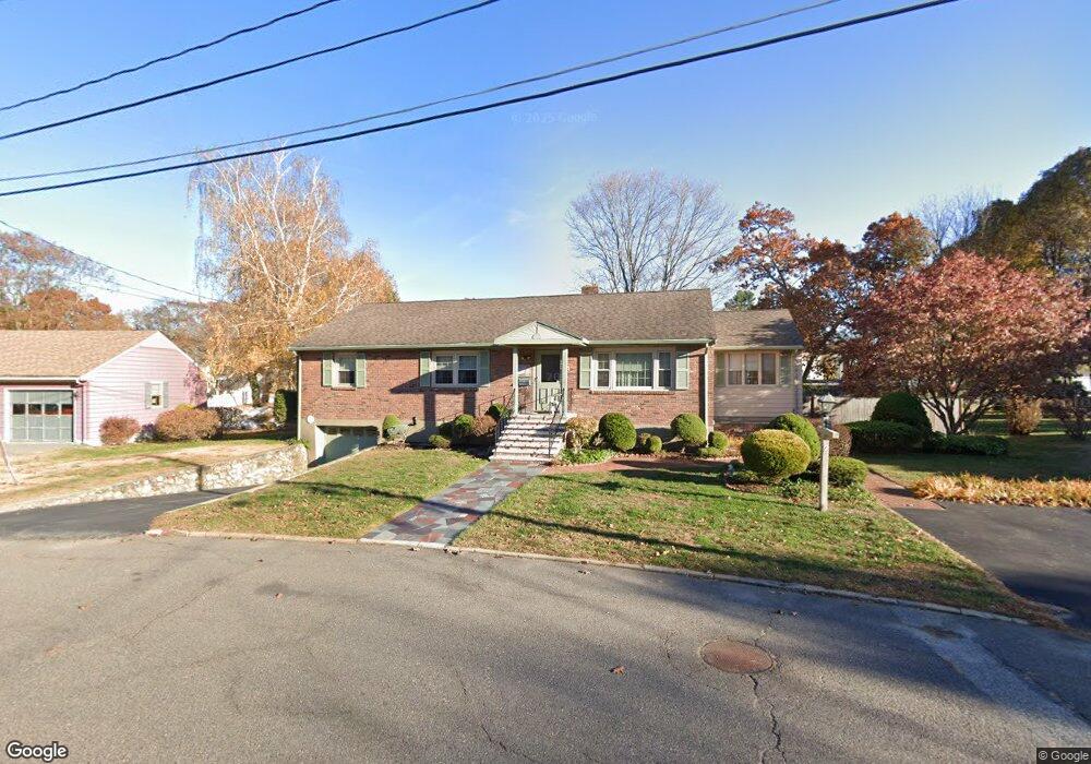
7 Ellen Rd Stoneham, MA 02180
Colonial Park NeighborhoodEstimated Value: $802,000 - $967,000
4
Beds
5
Baths
2,942
Sq Ft
$309/Sq Ft
Est. Value
About This Home
This home is located at 7 Ellen Rd, Stoneham, MA 02180 and is currently estimated at $910,302, approximately $309 per square foot. 7 Ellen Rd is a home located in Middlesex County with nearby schools including Stoneham High School, St. Patrick Elementary School, and Greater Boston Academy.
Ownership History
Date
Name
Owned For
Owner Type
Purchase Details
Closed on
Jun 8, 2021
Sold by
S Maria Musto Ret
Bought by
Sciola-Russell Alicia and Russell Kevin J
Current Estimated Value
Home Financials for this Owner
Home Financials are based on the most recent Mortgage that was taken out on this home.
Original Mortgage
$450,000
Outstanding Balance
$407,419
Interest Rate
2.9%
Mortgage Type
Purchase Money Mortgage
Estimated Equity
$502,883
Purchase Details
Closed on
Nov 24, 2020
Sold by
Musto Santa M
Bought by
S Maria Musto Ret
Create a Home Valuation Report for This Property
The Home Valuation Report is an in-depth analysis detailing your home's value as well as a comparison with similar homes in the area
Home Values in the Area
Average Home Value in this Area
Purchase History
| Date | Buyer | Sale Price | Title Company |
|---|---|---|---|
| Sciola-Russell Alicia | $600,000 | None Available | |
| S Maria Musto Ret | -- | None Available |
Source: Public Records
Mortgage History
| Date | Status | Borrower | Loan Amount |
|---|---|---|---|
| Open | Sciola-Russell Alicia | $450,000 |
Source: Public Records
Tax History
| Year | Tax Paid | Tax Assessment Tax Assessment Total Assessment is a certain percentage of the fair market value that is determined by local assessors to be the total taxable value of land and additions on the property. | Land | Improvement |
|---|---|---|---|---|
| 2025 | $8,327 | $814,000 | $400,600 | $413,400 |
| 2024 | $8,048 | $760,000 | $370,600 | $389,400 |
| 2023 | $7,793 | $702,100 | $340,600 | $361,500 |
| 2022 | $6,647 | $638,500 | $320,600 | $317,900 |
| 2021 | $6,506 | $601,300 | $300,600 | $300,700 |
| 2020 | $6,492 | $601,700 | $300,600 | $301,100 |
| 2019 | $6,066 | $546,200 | $260,600 | $285,600 |
| 2018 | $5,859 | $500,300 | $240,600 | $259,700 |
| 2017 | $5,787 | $467,100 | $230,600 | $236,500 |
| 2016 | $5,679 | $447,200 | $230,600 | $216,600 |
| 2015 | $5,551 | $428,300 | $230,600 | $197,700 |
| 2014 | $5,260 | $389,900 | $210,600 | $179,300 |
Source: Public Records
Map
Nearby Homes
- 33 Lake Ave
- 159 Franklin St Unit D2
- 159 Franklin St Unit C2
- 159 Franklin St Unit E6
- 17 Franklin St
- 53 Perkins St
- 132 Walton Park
- 137 Franklin St Unit 102
- 11 Ludlow Ave
- 51 Spring St
- 601 Franklin St Unit 2
- 35 Maple Rd
- 12 Lovis Ave
- 9 Lovis Ave
- 24 Ellsworth Ave
- 23 Ellsworth Ave
- 43-51 Albion St Unit C9
- 4 Garfield Ave
- 34-36 W Highland Ave
- 8 Common St Unit 3
Your Personal Tour Guide
Ask me questions while you tour the home.