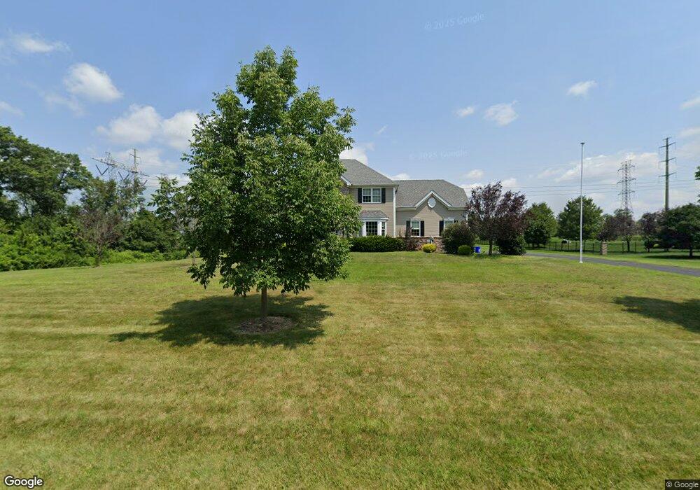
7 Eyring Rd Hillsborough, NJ 08844
Estimated Value: $1,071,000 - $1,284,000
5
Beds
3
Baths
3,830
Sq Ft
$315/Sq Ft
Est. Value
About This Home
This home is located at 7 Eyring Rd, Hillsborough, NJ 08844 and is currently estimated at $1,207,420, approximately $315 per square foot. 7 Eyring Rd is a home located in Somerset County with nearby schools including Hillsborough High School and Cherry Blossom Montessori School.
Ownership History
Date
Name
Owned For
Owner Type
Purchase Details
Closed on
Apr 27, 2011
Sold by
High Branch Land Inc
Bought by
Russo Shana Eve
Current Estimated Value
Home Financials for this Owner
Home Financials are based on the most recent Mortgage that was taken out on this home.
Original Mortgage
$598,500
Outstanding Balance
$414,778
Interest Rate
4.82%
Mortgage Type
New Conventional
Estimated Equity
$792,642
Create a Home Valuation Report for This Property
The Home Valuation Report is an in-depth analysis detailing your home's value as well as a comparison with similar homes in the area
Home Values in the Area
Average Home Value in this Area
Purchase History
| Date | Buyer | Sale Price | Title Company |
|---|---|---|---|
| Russo Shana Eve | $665,000 | Multiple |
Source: Public Records
Mortgage History
| Date | Status | Borrower | Loan Amount |
|---|---|---|---|
| Open | Russo Shana Eve | $598,500 |
Source: Public Records
Tax History Compared to Growth
Tax History
| Year | Tax Paid | Tax Assessment Tax Assessment Total Assessment is a certain percentage of the fair market value that is determined by local assessors to be the total taxable value of land and additions on the property. | Land | Improvement |
|---|---|---|---|---|
| 2025 | $19,122 | $982,300 | $382,900 | $599,400 |
| 2024 | $19,122 | $892,300 | $366,900 | $525,400 |
| 2023 | $17,663 | $820,400 | $298,900 | $521,500 |
| 2022 | $17,219 | $771,100 | $266,900 | $504,200 |
| 2021 | $17,556 | $747,700 | $238,900 | $508,800 |
| 2020 | $17,501 | $734,100 | $222,900 | $511,200 |
| 2019 | $17,263 | $718,100 | $206,900 | $511,200 |
| 2018 | $16,377 | $677,000 | $206,900 | $470,100 |
| 2017 | $16,432 | $680,400 | $206,900 | $473,500 |
| 2016 | $16,425 | $680,400 | $206,900 | $473,500 |
| 2015 | $15,415 | $646,600 | $206,900 | $439,700 |
| 2014 | $14,863 | $636,800 | $194,900 | $441,900 |
Source: Public Records
Map
Nearby Homes
- 233 S Branch Rd
- 436 Conover Dr
- 8 Van Fleet Ct
- 73 Beechwood Cir
- 106 Perrine Pike
- 71 Buckland Dr
- 598 River Rd
- 42 Bateman Way Unit 9
- 68 Dunedain St
- 9 Settlers Ct
- 718 Mill Ln
- 0 Amwell Rd
- 15 Campbell Ct
- 104 Devonshire Ct
- 317 Old York Rd
- 39 Flemming Dr
- 261 Old York Rd
- 13 Wesley Rd
- 27 Fremont St
- 14 Runyon St