Estimated Value: $792,000 - $842,000
4
Beds
3
Baths
2,080
Sq Ft
$397/Sq Ft
Est. Value
About This Home
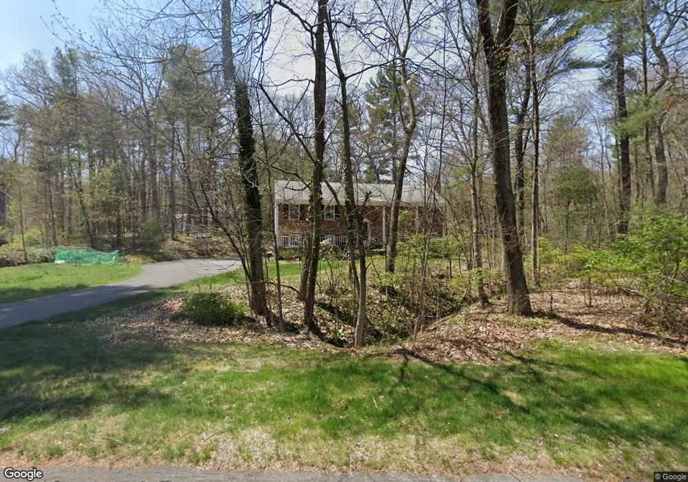
This home is located at 7 Fernwood Rd, Acton, MA 01720 and is currently estimated at $825,812, approximately $397 per square foot. 7 Fernwood Rd is a home located in Middlesex County with nearby schools including Acton-Boxborough Regional High School, Maynard Knowledge Beginnings, and The Imago School.
Ownership History
Date
Name
Owned For
Owner Type
Purchase Details
Closed on
May 17, 2021
Sold by
Shi Xinhua and Qin Xiaojun
Bought by
Tsai Tsang L and Tung Chia C
Current Estimated Value
Home Financials for this Owner
Home Financials are based on the most recent Mortgage that was taken out on this home.
Original Mortgage
$384,000
Outstanding Balance
$348,000
Interest Rate
3.1%
Mortgage Type
Purchase Money Mortgage
Estimated Equity
$477,812
Purchase Details
Closed on
Jul 5, 2005
Sold by
Rhude Virginia A
Bought by
Qin Xiaojun and Shi Xinhua
Home Financials for this Owner
Home Financials are based on the most recent Mortgage that was taken out on this home.
Original Mortgage
$359,650
Interest Rate
5.73%
Mortgage Type
Purchase Money Mortgage
Create a Home Valuation Report for This Property
The Home Valuation Report is an in-depth analysis detailing your home's value as well as a comparison with similar homes in the area
Home Values in the Area
Average Home Value in this Area
Purchase History
| Date | Buyer | Sale Price | Title Company |
|---|---|---|---|
| Tsai Tsang L | $584,000 | None Available | |
| Qin Xiaojun | $490,000 | -- |
Source: Public Records
Mortgage History
| Date | Status | Borrower | Loan Amount |
|---|---|---|---|
| Open | Tsai Tsang L | $384,000 | |
| Previous Owner | Qin Xiaojun | $359,650 |
Source: Public Records
Tax History Compared to Growth
Tax History
| Year | Tax Paid | Tax Assessment Tax Assessment Total Assessment is a certain percentage of the fair market value that is determined by local assessors to be the total taxable value of land and additions on the property. | Land | Improvement |
|---|---|---|---|---|
| 2025 | $11,737 | $684,400 | $317,500 | $366,900 |
| 2024 | $11,107 | $666,300 | $317,500 | $348,800 |
| 2023 | $10,907 | $621,100 | $288,600 | $332,500 |
| 2022 | $10,633 | $546,700 | $250,800 | $295,900 |
| 2021 | $9,981 | $493,400 | $232,200 | $261,200 |
| 2020 | $9,643 | $501,200 | $232,200 | $269,000 |
| 2019 | $9,071 | $468,300 | $232,200 | $236,100 |
| 2018 | $8,576 | $442,500 | $232,200 | $210,300 |
| 2017 | $8,257 | $433,200 | $232,200 | $201,000 |
| 2016 | $8,011 | $416,600 | $232,200 | $184,400 |
| 2015 | $8,146 | $427,600 | $232,200 | $195,400 |
| 2014 | $7,920 | $407,200 | $232,200 | $175,000 |
Source: Public Records
Map
Nearby Homes
- 5 Oakwood Rd
- 8 Laurel Ct
- 70 River St
- 2 Clover Hill Rd
- 86 School St
- 128 Audubon Dr
- 118 Parker St Unit 16
- 12 Brewster Ln
- 40 High St
- 128 Parker St Unit 3B
- 132 Parker St Unit G5
- 129 Main St Unit 129
- 129 Main St
- 169 Main St
- 131 Main St
- 19 Railroad St Unit C2
- 23 John Swift Rd
- 11 Horseshoe Dr
- 65 Summit St
- 491 Main St
- 9 Fernwood Rd
- 6 Fernwood Rd
- 5 Fernwood Rd
- 8 Fernwood Rd
- 3 Fernwood Rd
- 5 Driftwood Rd
- 18 Arborwood Rd
- 20 Arborwood Rd
- 4 Fernwood Rd
- 13 Oakwood Rd Unit R
- 13 Oakwood Rd
- 10 Fernwood Rd
- 12 Arborwood Rd
- 17 Oakwood Rd
- 7 Driftwood Rd
- 6 Driftwood Rd
- 19 Oakwood Rd
- 15 Oakwood Rd
- 17 Arborwood Rd
- 15 Arborwood Rd