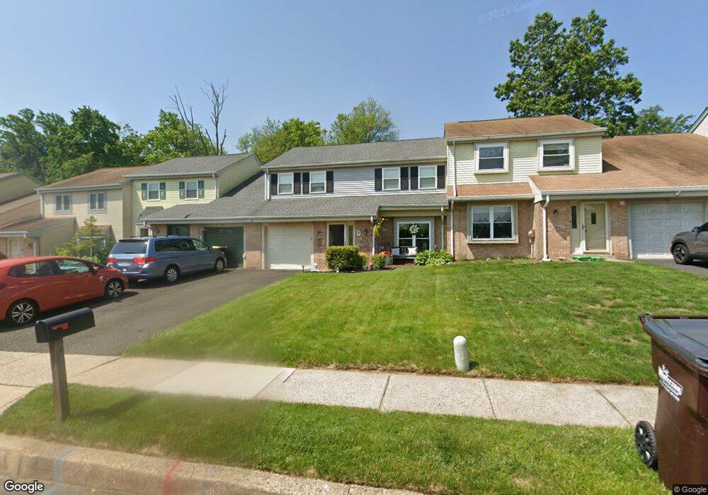
7 Firewood Dr Horsham, PA 19044
Estimated Value: $416,507 - $443,000
4
Beds
2
Baths
1,918
Sq Ft
$222/Sq Ft
Est. Value
About This Home
This home is located at 7 Firewood Dr, Horsham, PA 19044 and is currently estimated at $425,127, approximately $221 per square foot. 7 Firewood Dr is a home located in Montgomery County with nearby schools including Blair Mill Elementary School, Keith Valley Middle School, and Hatboro-Horsham Senior High School.
Ownership History
Date
Name
Owned For
Owner Type
Purchase Details
Closed on
Jun 2, 1999
Sold by
Schneider George N and Schneider Carol A
Bought by
Stasio Dean A and Stasio Nicole M
Current Estimated Value
Create a Home Valuation Report for This Property
The Home Valuation Report is an in-depth analysis detailing your home's value as well as a comparison with similar homes in the area
Home Values in the Area
Average Home Value in this Area
Purchase History
| Date | Buyer | Sale Price | Title Company |
|---|---|---|---|
| Stasio Dean A | $134,000 | -- |
Source: Public Records
Tax History Compared to Growth
Tax History
| Year | Tax Paid | Tax Assessment Tax Assessment Total Assessment is a certain percentage of the fair market value that is determined by local assessors to be the total taxable value of land and additions on the property. | Land | Improvement |
|---|---|---|---|---|
| 2025 | $4,590 | $116,740 | $21,000 | $95,740 |
| 2024 | $4,590 | $116,740 | $21,000 | $95,740 |
| 2023 | $4,369 | $116,740 | $21,000 | $95,740 |
| 2022 | $4,226 | $116,740 | $21,000 | $95,740 |
| 2021 | $4,126 | $116,740 | $21,000 | $95,740 |
| 2020 | $4,029 | $116,740 | $21,000 | $95,740 |
| 2019 | $3,952 | $116,740 | $21,000 | $95,740 |
| 2018 | $3,056 | $116,740 | $21,000 | $95,740 |
| 2017 | $3,775 | $116,740 | $21,000 | $95,740 |
| 2016 | $3,730 | $116,740 | $21,000 | $95,740 |
| 2015 | $3,562 | $116,740 | $21,000 | $95,740 |
| 2014 | $3,562 | $116,740 | $21,000 | $95,740 |
Source: Public Records
Map
Nearby Homes
- 2 Cedarbrook Dr
- 80 Whetstone Rd
- 4 Beaver Hill Rd
- 45 Ember Ln
- 124 Sarahs Ln
- 8 Barrel Stave Cir
- 15 Barrel Stave Cir
- 45 Brookside Ct
- 585 Colonial Dr
- 44 Brookside Ct Unit 44
- 3 Emily Ct
- 454 1/2 Avenue A Unit A
- 43 Black Watch Ct
- 603 Norristown Rd
- 6 Pheasant Run
- 890 Easton Rd
- 414 Watson Ave
- 18 Hunt Dr
- 204 Wilson Ave
- 474 Easton Rd
- 5 Firewood Dr
- 9 Firewood Dr
- 11 Firewood Dr
- 3 Firewood Dr
- 1 Firewood Dr
- 14 Cedarbrook Dr
- 15 Firewood Dr
- 607 Eugenia Rd
- 78 Greenwoods Dr
- 17 Firewood Dr
- 12 Cedarbrook Dr
- 610 Eugenia Rd
- 19 Firewood Dr
- 10 Cedarbrook Dr
- 76 Greenwoods Dr
- 13 Cedarbrook Dr
- 74 Greenwoods Dr
- 21 Firewood Dr
- 8 Cedarbrook Dr
- 612 Eugenia Rd