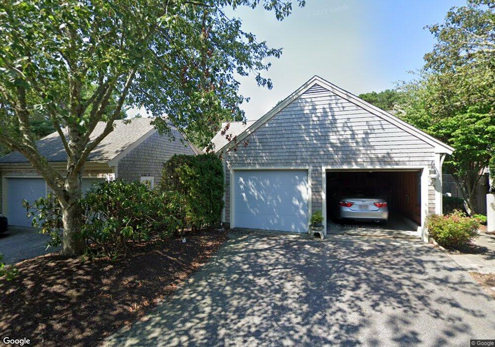
7 Forest Gate Yarmouth Port, MA 02675
Yarmouth Port NeighborhoodEstimated Value: $604,000 - $673,000
2
Beds
3
Baths
1,342
Sq Ft
$479/Sq Ft
Est. Value
About This Home
This home is located at 7 Forest Gate, Yarmouth Port, MA 02675 and is currently estimated at $642,811, approximately $478 per square foot. 7 Forest Gate is a home located in Barnstable County with nearby schools including Dennis-Yarmouth Regional High School.
Ownership History
Date
Name
Owned For
Owner Type
Purchase Details
Closed on
Feb 17, 2011
Sold by
Thenault Beatrice M
Bought by
Beatrice M Thenault T
Current Estimated Value
Purchase Details
Closed on
Jul 29, 1996
Sold by
Evans Phyllis M and Evans Albert B
Bought by
Thenault George S
Purchase Details
Closed on
Jun 23, 1995
Sold by
Kings Way Prop Rt
Bought by
Evans Phyllis M
Home Financials for this Owner
Home Financials are based on the most recent Mortgage that was taken out on this home.
Original Mortgage
$150,000
Interest Rate
7.82%
Mortgage Type
Purchase Money Mortgage
Create a Home Valuation Report for This Property
The Home Valuation Report is an in-depth analysis detailing your home's value as well as a comparison with similar homes in the area
Home Values in the Area
Average Home Value in this Area
Purchase History
| Date | Buyer | Sale Price | Title Company |
|---|---|---|---|
| Beatrice M Thenault T | -- | -- | |
| Thenault George S | $239,900 | -- | |
| Evans Phyllis M | $214,200 | -- |
Source: Public Records
Mortgage History
| Date | Status | Borrower | Loan Amount |
|---|---|---|---|
| Previous Owner | Evans Phyllis M | $150,000 |
Source: Public Records
Tax History Compared to Growth
Tax History
| Year | Tax Paid | Tax Assessment Tax Assessment Total Assessment is a certain percentage of the fair market value that is determined by local assessors to be the total taxable value of land and additions on the property. | Land | Improvement |
|---|---|---|---|---|
| 2025 | $4,592 | $648,600 | $0 | $648,600 |
| 2024 | $4,090 | $554,200 | $0 | $554,200 |
| 2023 | $3,639 | $448,700 | $0 | $448,700 |
| 2022 | $4,298 | $468,200 | $0 | $468,200 |
| 2021 | $4,024 | $420,900 | $0 | $420,900 |
| 2020 | $4,060 | $406,000 | $0 | $406,000 |
| 2019 | $3,806 | $376,800 | $0 | $376,800 |
| 2018 | $3,877 | $376,800 | $0 | $376,800 |
| 2017 | $3,484 | $347,700 | $0 | $347,700 |
| 2016 | $3,324 | $333,100 | $0 | $333,100 |
| 2015 | $3,322 | $330,900 | $0 | $330,900 |
Source: Public Records
Map
Nearby Homes
- 30 W Woods Cir Unit 30
- 30 W Woods
- 2 Pine Grove
- 28 Oak Glen
- 25 Oak Glen Village Unit 25
- 25 Oak Glen
- 158 Kates Path
- 17 Kates Path Unit A
- 228 Kates Path
- 43 Canterbury Rd
- 19 John Hall Cartway Unit E
- 19 John Halls Cartpath Village Unit E
- 64 Kates Path
- 50 John Hall Cartway
- 50 John Hall Cartway Unit 50
- 42 John Hall Cartway Unit 42
- 21 Boxwood Cir
- 800 Route 6a
- 800 Route 6a
- 44 Stratford Ln
- 11 Forest Gate
- 9 Forest Gate Unit G
- 11 Forest Gate Unit H
- 17 Forest Gate
- 15 Forest Gate
- 13 Forest Gate
- 17 Forest Gate Unit H
- 5 Forest Gate
- 3 Forest Gate
- 1 Forest Gate
- 23 Forest Gate
- 21 Forest Gate
- 19 Forest Gate
- 21 Forest Gate Unit 21
- 21 Forest Gate Unit G
- 19 Forest Gate Unit H
- 23 Forest Gate Unit I
- 12 W Woods
- 10 W Woods
- 8 W Woods