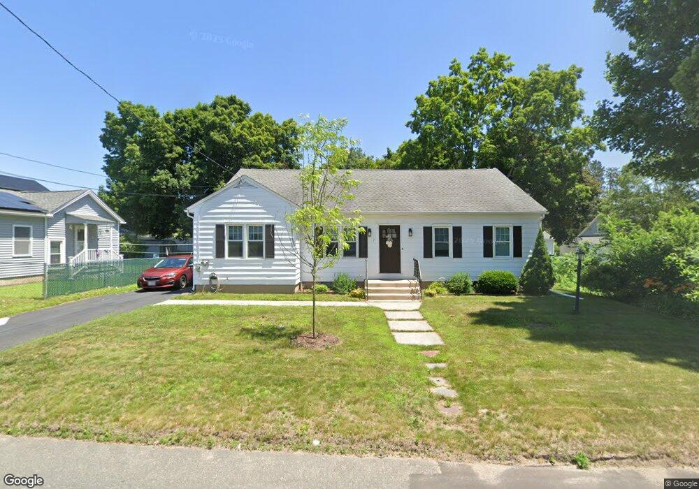
7 Forest St Wilbraham, MA 01095
Estimated Value: $345,156 - $409,000
3
Beds
2
Baths
1,623
Sq Ft
$238/Sq Ft
Est. Value
About This Home
This home is located at 7 Forest St, Wilbraham, MA 01095 and is currently estimated at $386,539, approximately $238 per square foot. 7 Forest St is a home located in Hampden County with nearby schools including Minnechaug Regional High School, St John The Baptist School, and Wilbraham & Monson Academy.
Ownership History
Date
Name
Owned For
Owner Type
Purchase Details
Closed on
Dec 14, 2001
Sold by
Reed Winslow W
Bought by
Greene David E and Greene Nancy A
Current Estimated Value
Home Financials for this Owner
Home Financials are based on the most recent Mortgage that was taken out on this home.
Original Mortgage
$100,000
Interest Rate
6.6%
Mortgage Type
Purchase Money Mortgage
Purchase Details
Closed on
Jan 25, 1995
Sold by
Reed Beth A
Bought by
Reed Winslow W
Create a Home Valuation Report for This Property
The Home Valuation Report is an in-depth analysis detailing your home's value as well as a comparison with similar homes in the area
Home Values in the Area
Average Home Value in this Area
Purchase History
| Date | Buyer | Sale Price | Title Company |
|---|---|---|---|
| Greene David E | $123,000 | -- | |
| Reed Winslow W | $10,000 | -- |
Source: Public Records
Mortgage History
| Date | Status | Borrower | Loan Amount |
|---|---|---|---|
| Open | Reed Winslow W | $84,000 | |
| Closed | Reed Winslow W | $100,000 | |
| Previous Owner | Reed Winslow W | $10,000 |
Source: Public Records
Tax History
| Year | Tax Paid | Tax Assessment Tax Assessment Total Assessment is a certain percentage of the fair market value that is determined by local assessors to be the total taxable value of land and additions on the property. | Land | Improvement |
|---|---|---|---|---|
| 2025 | $5,496 | $307,400 | $61,700 | $245,700 |
| 2024 | $5,289 | $285,900 | $61,700 | $224,200 |
| 2023 | $4,694 | $267,700 | $61,700 | $206,000 |
| 2022 | $4,694 | $229,100 | $61,700 | $167,400 |
| 2021 | $4,016 | $174,900 | $54,600 | $120,300 |
| 2020 | $3,914 | $174,900 | $54,600 | $120,300 |
| 2019 | $3,813 | $174,900 | $54,600 | $120,300 |
| 2018 | $3,536 | $156,200 | $54,600 | $101,600 |
| 2017 | $3,436 | $156,200 | $54,600 | $101,600 |
| 2016 | $3,212 | $148,700 | $54,300 | $94,400 |
| 2015 | $3,105 | $148,700 | $54,300 | $94,400 |
Source: Public Records
Map
Nearby Homes
- 46 Washington Rd
- 4 Hillcrest Dr
- 3 Mohawk St
- 35 Lake Dr
- 22 Brainard Rd
- 104 High Pine Cir
- 6 Teak Terrace Unit 24
- 1 Aspen Dr
- 24 Lodge Ln Unit 24
- 2205 Boston Rd Unit E43
- 2205 Boston Rd Unit M120
- 67 Hill Terrace
- 25 Dale St
- 57 Sandalwood Dr Unit site 61
- 103 Sandalwood Dr Unit site 00
- 111 Sandalwood Dr Unit site 00
- 84 Sandalwood Dr Unit site 00
- 26 Sandalwood Dr
- 16 Maple St
- 36 Maple St
- 21 Forest St
- 11 Forest St
- 7 Mountainview St
- 5 Forest St
- 14 Forest St
- 9 Mountainview St
- 2451 Boston Rd Unit Rt 20
- 15 Forest St
- 2471 Boston Rd
- 16 Forest St
- lot 2 Julia Way
- lot 14 Sherwin Rd
- lot 17 Sherwin Rd
- lot 18 Sherwin Rd
- 13 Mountainview St
- 10 Mountainview St
- 2 Magnolia St
- 15 Mountainview St
- 6 Magnolia St
- 19 Forest St
Your Personal Tour Guide
Ask me questions while you tour the home.