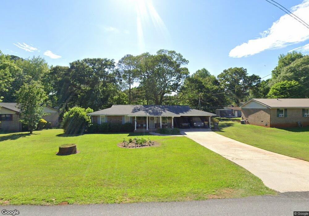
7 Foster Dr Newnan, GA 30263
Estimated Value: $241,000 - $274,000
3
Beds
2
Baths
1,476
Sq Ft
$177/Sq Ft
Est. Value
About This Home
This home is located at 7 Foster Dr, Newnan, GA 30263 and is currently estimated at $260,983, approximately $176 per square foot. 7 Foster Dr is a home with nearby schools including Northside Elementary School, Evans Middle School, and Newnan High School.
Ownership History
Date
Name
Owned For
Owner Type
Purchase Details
Closed on
Nov 19, 2021
Sold by
Brooks Richard C
Bought by
Smith Robert Mark
Current Estimated Value
Home Financials for this Owner
Home Financials are based on the most recent Mortgage that was taken out on this home.
Original Mortgage
$142,786
Outstanding Balance
$130,450
Interest Rate
3.09%
Mortgage Type
New Conventional
Estimated Equity
$130,533
Purchase Details
Closed on
Dec 31, 2009
Sold by
Richard Crawford Brooks Family
Bought by
Brooks Richard C and Brooks Donna S
Purchase Details
Closed on
Dec 31, 2007
Sold by
Brooks Donna S and Brooks Ric
Bought by
Richard Crawford Brooks Family Par
Purchase Details
Closed on
Feb 4, 1974
Bought by
Brooks Donna S and Brooks Ric
Create a Home Valuation Report for This Property
The Home Valuation Report is an in-depth analysis detailing your home's value as well as a comparison with similar homes in the area
Home Values in the Area
Average Home Value in this Area
Purchase History
| Date | Buyer | Sale Price | Title Company |
|---|---|---|---|
| Smith Robert Mark | $180,000 | -- | |
| Parsons Connie | $180,000 | -- | |
| Brooks Richard C | -- | -- | |
| Richard Crawford Brooks Family Par | -- | -- | |
| Brooks Donna S | $34,900 | -- |
Source: Public Records
Mortgage History
| Date | Status | Borrower | Loan Amount |
|---|---|---|---|
| Open | Parsons Connie | $142,786 | |
| Closed | Smith Robert Mark | $142,786 |
Source: Public Records
Tax History Compared to Growth
Tax History
| Year | Tax Paid | Tax Assessment Tax Assessment Total Assessment is a certain percentage of the fair market value that is determined by local assessors to be the total taxable value of land and additions on the property. | Land | Improvement |
|---|---|---|---|---|
| 2024 | $848 | $79,626 | $20,000 | $59,626 |
| 2023 | $848 | $74,466 | $16,000 | $58,466 |
| 2022 | $1,658 | $67,305 | $16,000 | $51,305 |
| 2021 | $1,271 | $48,266 | $10,000 | $38,266 |
| 2020 | $1,279 | $48,266 | $10,000 | $38,266 |
| 2019 | $1,359 | $46,440 | $12,000 | $34,440 |
| 2018 | $1,362 | $46,440 | $12,000 | $34,440 |
| 2017 | $1,065 | $36,326 | $9,600 | $26,726 |
| 2016 | $948 | $32,744 | $9,600 | $23,144 |
| 2015 | $901 | $31,642 | $9,600 | $22,042 |
| 2014 | $855 | $30,264 | $9,600 | $20,664 |
Source: Public Records
Map
Nearby Homes
- 19 Foster Dr
- 12 Windsor Way
- 86 Lancaster Way
- 97 Windsor Ct
- 0 Lakewood Dr Unit 10554345
- 766 Country Club Rd
- 659 Country Club Rd
- 50 Shamrock Way
- 6 Little John Way
- 43 Warner Dr
- LOT 196 Northshore at Redwine Dr
- LOT 199 Northshore at Redwine Dr
- 100 Redwine Dr
- 141 Green Park Way
- 156 N Square Ln
- 137 Alessie Dr
- 1965 Roscoe Rd
- 8 Canterbury Dr
- 1985 Roscoe Rd
- 561 Witcher Rd