Estimated Value: $881,779 - $963,000
4
Beds
3
Baths
2,300
Sq Ft
$397/Sq Ft
Est. Value
About This Home
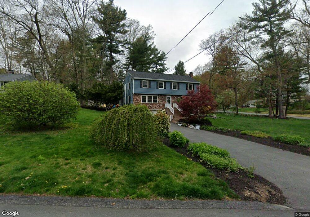
This home is located at 7 Francine Rd, Acton, MA 01720 and is currently estimated at $914,195, approximately $397 per square foot. 7 Francine Rd is a home located in Middlesex County with nearby schools including Acton-Boxborough Regional High School, Maynard Knowledge Beginnings, and The Imago School.
Ownership History
Date
Name
Owned For
Owner Type
Purchase Details
Closed on
May 28, 2004
Sold by
Lee Hsin H and Tong Ya Tze
Bought by
Koplin David and Rafie-Kolpin Maryam
Current Estimated Value
Home Financials for this Owner
Home Financials are based on the most recent Mortgage that was taken out on this home.
Original Mortgage
$408,800
Outstanding Balance
$198,227
Interest Rate
5.88%
Mortgage Type
Purchase Money Mortgage
Estimated Equity
$715,968
Purchase Details
Closed on
Feb 16, 1993
Sold by
Hadley Irving L and Hadley Patricia
Bought by
Lee Hsin H and Tong Ya Tze
Home Financials for this Owner
Home Financials are based on the most recent Mortgage that was taken out on this home.
Original Mortgage
$201,500
Interest Rate
7.6%
Create a Home Valuation Report for This Property
The Home Valuation Report is an in-depth analysis detailing your home's value as well as a comparison with similar homes in the area
Home Values in the Area
Average Home Value in this Area
Purchase History
| Date | Buyer | Sale Price | Title Company |
|---|---|---|---|
| Koplin David | $511,000 | -- | |
| Lee Hsin H | $242,000 | -- |
Source: Public Records
Mortgage History
| Date | Status | Borrower | Loan Amount |
|---|---|---|---|
| Open | Koplin David | $408,800 | |
| Previous Owner | Lee Hsin H | $201,500 | |
| Previous Owner | Lee Hsin H | $200,000 | |
| Previous Owner | Lee Hsin H | $130,000 |
Source: Public Records
Tax History Compared to Growth
Tax History
| Year | Tax Paid | Tax Assessment Tax Assessment Total Assessment is a certain percentage of the fair market value that is determined by local assessors to be the total taxable value of land and additions on the property. | Land | Improvement |
|---|---|---|---|---|
| 2025 | $12,850 | $749,300 | $314,700 | $434,600 |
| 2024 | $12,029 | $721,600 | $314,700 | $406,900 |
| 2023 | $11,718 | $667,300 | $285,900 | $381,400 |
| 2022 | $11,092 | $570,300 | $248,500 | $321,800 |
| 2021 | $10,819 | $534,800 | $230,100 | $304,700 |
| 2020 | $10,209 | $530,600 | $230,100 | $300,500 |
| 2019 | $9,879 | $510,000 | $230,100 | $279,900 |
| 2018 | $9,713 | $501,200 | $230,100 | $271,100 |
| 2017 | $9,469 | $496,800 | $230,100 | $266,700 |
| 2016 | $9,300 | $483,600 | $230,100 | $253,500 |
| 2015 | $8,793 | $461,600 | $230,100 | $231,500 |
| 2014 | $8,665 | $445,500 | $230,100 | $215,400 |
Source: Public Records
Map
Nearby Homes
- 5 Oakwood Rd
- 169 Main St
- 8 Laurel Ct
- 86 School St
- 129 Main St Unit 129
- 129 Main St
- 131 Main St
- 19 Railroad St Unit C2
- 70 River St
- 128 Audubon Dr
- 40 High St
- 23 John Swift Rd
- 4,7,8 Crestwood Ln
- 12 Brewster Ln
- 89 Windsor Ave
- 285 Central St Unit 285
- 491 Main St
- 9 Elm St Unit 1
- 118 Parker St Unit 16
- 90 Willow St Unit 1