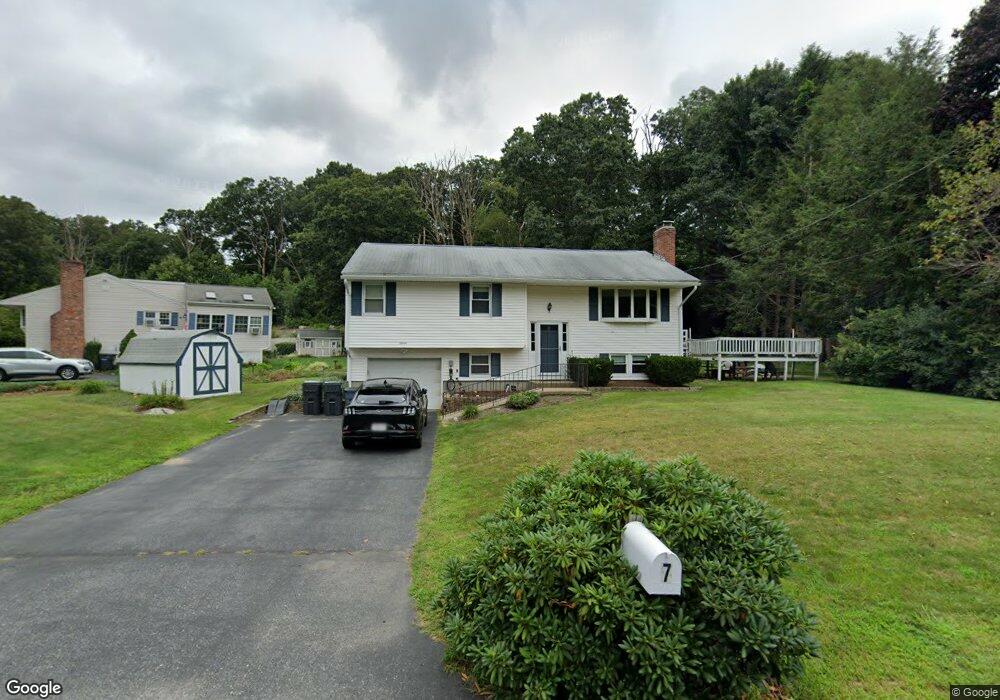
7 Frankie Ln North Grafton, MA 01536
Estimated Value: $521,000 - $574,000
3
Beds
1
Bath
1,134
Sq Ft
$476/Sq Ft
Est. Value
About This Home
This home is located at 7 Frankie Ln, North Grafton, MA 01536 and is currently estimated at $539,654, approximately $475 per square foot. 7 Frankie Ln is a home located in Worcester County with nearby schools including Grafton High School, Silver Spruce Montessori School, and Al-Hamra Academy.
Ownership History
Date
Name
Owned For
Owner Type
Purchase Details
Closed on
Oct 30, 1998
Sold by
Lauze Doris B
Bought by
Welch Kent E and Welch Kellie A
Current Estimated Value
Home Financials for this Owner
Home Financials are based on the most recent Mortgage that was taken out on this home.
Original Mortgage
$154,499
Interest Rate
6.68%
Mortgage Type
Purchase Money Mortgage
Purchase Details
Closed on
Jun 17, 1991
Sold by
Meeker Lawrence W and Meeker Bonnie
Bought by
Lauze Robert M and Lauze Doris
Create a Home Valuation Report for This Property
The Home Valuation Report is an in-depth analysis detailing your home's value as well as a comparison with similar homes in the area
Home Values in the Area
Average Home Value in this Area
Purchase History
| Date | Buyer | Sale Price | Title Company |
|---|---|---|---|
| Welch Kent E | $157,600 | -- | |
| Welch Kent E | $157,600 | -- | |
| Lauze Robert M | $137,000 | -- | |
| Lauze Robert M | $137,000 | -- |
Source: Public Records
Mortgage History
| Date | Status | Borrower | Loan Amount |
|---|---|---|---|
| Open | Lauze Robert M | $190,000 | |
| Closed | Lauze Robert M | $154,499 |
Source: Public Records
Tax History Compared to Growth
Tax History
| Year | Tax Paid | Tax Assessment Tax Assessment Total Assessment is a certain percentage of the fair market value that is determined by local assessors to be the total taxable value of land and additions on the property. | Land | Improvement |
|---|---|---|---|---|
| 2025 | $6,270 | $449,800 | $183,600 | $266,200 |
| 2024 | $6,122 | $427,800 | $174,800 | $253,000 |
| 2023 | $5,909 | $376,100 | $174,800 | $201,300 |
| 2022 | $5,641 | $334,200 | $150,000 | $184,200 |
| 2021 | $5,161 | $300,400 | $136,400 | $164,000 |
| 2020 | $4,957 | $300,400 | $136,400 | $164,000 |
| 2019 | $4,895 | $293,800 | $132,400 | $161,400 |
| 2018 | $4,838 | $291,600 | $131,700 | $159,900 |
| 2017 | $4,654 | $283,800 | $123,900 | $159,900 |
| 2016 | $4,085 | $243,900 | $99,500 | $144,400 |
| 2015 | $4,102 | $248,600 | $98,400 | $150,200 |
| 2014 | $3,749 | $245,700 | $116,200 | $129,500 |
Source: Public Records
Map
Nearby Homes
- 5 Frankie Ln
- 8 Frankie Ln
- 3 Frankie Ln
- 4 Frankie Ln
- 23 Countryside Rd
- 6 Frankie Ln
- 25 Countryside Rd
- 11 Frankie Ln
- 10 Frankie Ln
- 10 Frankie Ln Unit 1
- 21 Countryside Rd
- 2 Frankie Ln
- 27 Countryside Rd
- 29 Midgley Cir
- 19 Countryside Rd
- 17 Suzanne Terrace
- 26 Countryside Rd
- 15 Suzanne Terrace
- 1 Frankie Ln
- 22 Countryside Rd