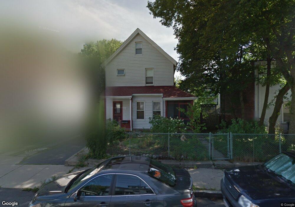
7 Gardenside St Unit SF Roslindale, MA 02131
Roslindale NeighborhoodEstimated Value: $738,000 - $866,000
3
Beds
2
Baths
1,500
Sq Ft
$539/Sq Ft
Est. Value
About This Home
This home is located at 7 Gardenside St Unit SF, Roslindale, MA 02131 and is currently estimated at $808,977, approximately $539 per square foot. 7 Gardenside St Unit SF is a home located in Suffolk County with nearby schools including Brooke Charter School Roslindale, Sacred Heart STEM School, and St. Clare High School.
Ownership History
Date
Name
Owned For
Owner Type
Purchase Details
Closed on
Aug 2, 2013
Sold by
Wright Brooks A and Wright Edythe F
Bought by
Hubbard Stephanie L
Current Estimated Value
Home Financials for this Owner
Home Financials are based on the most recent Mortgage that was taken out on this home.
Original Mortgage
$337,500
Outstanding Balance
$246,513
Interest Rate
3.95%
Mortgage Type
New Conventional
Estimated Equity
$562,464
Purchase Details
Closed on
Aug 25, 1997
Sold by
Warren James R and Warren Sharon A
Bought by
Wright Brooks A and Wright Edythe F
Create a Home Valuation Report for This Property
The Home Valuation Report is an in-depth analysis detailing your home's value as well as a comparison with similar homes in the area
Home Values in the Area
Average Home Value in this Area
Purchase History
| Date | Buyer | Sale Price | Title Company |
|---|---|---|---|
| Hubbard Stephanie L | $450,000 | -- | |
| Wright Brooks A | $128,400 | -- |
Source: Public Records
Mortgage History
| Date | Status | Borrower | Loan Amount |
|---|---|---|---|
| Open | Hubbard Stephanie L | $337,500 | |
| Previous Owner | Wright Brooks A | $215,000 | |
| Previous Owner | Wright Brooks A | $210,000 | |
| Previous Owner | Wright Brooks A | $160,000 |
Source: Public Records
Tax History Compared to Growth
Tax History
| Year | Tax Paid | Tax Assessment Tax Assessment Total Assessment is a certain percentage of the fair market value that is determined by local assessors to be the total taxable value of land and additions on the property. | Land | Improvement |
|---|---|---|---|---|
| 2025 | $8,153 | $704,100 | $250,500 | $453,600 |
| 2024 | $7,045 | $646,300 | $240,500 | $405,800 |
| 2023 | $6,486 | $603,900 | $224,700 | $379,200 |
| 2022 | $6,084 | $559,200 | $208,100 | $351,100 |
| 2021 | $5,546 | $519,800 | $200,100 | $319,700 |
| 2020 | $5,348 | $506,400 | $183,400 | $323,000 |
| 2019 | $5,052 | $479,362 | $146,672 | $332,690 |
| 2018 | $4,783 | $456,393 | $146,672 | $309,721 |
| 2017 | $4,562 | $430,746 | $146,672 | $284,074 |
| 2016 | $4,346 | $395,108 | $146,672 | $248,436 |
| 2015 | $4,162 | $343,700 | $133,800 | $209,900 |
| 2014 | $4,193 | $333,300 | $133,800 | $199,500 |
Source: Public Records
Map
Nearby Homes
- 27 Rowe St
- 472 Hyde Park Ave Unit 472
- 187 Florence St Unit 2L
- 28-30 Mount Hope St
- 391 Hyde Park Ave Unit 112
- 32 Jewett St
- 117 Sycamore St Unit 1
- 108 Florence St Unit 3
- 108 Florence St Unit 2
- 25 Harrison St Unit C
- 375 Hyde Park Ave Unit 3
- 543 Hyde Park Ave Unit 1
- 34 Sammett Ave
- 67 Cummins Hwy Unit 101
- 67 Cummins Hwy Unit 304
- 39 Harrison St Unit B
- 60 Starbird Ave Unit 2
- 21 Bexley Rd
- 12 Wyvern St Unit 2
- 41 Hawthorne St Unit 2
- 7 Gardenside St
- 7 Gardenside St
- 11 Gardenside St
- 158 Brown Ave Unit 2
- 158 Brown Ave Unit 2nd floor
- 158 Brown Ave Unit 1
- 166 Brown Ave
- 168 Brown Ave
- 15 Gardenside St
- 15 Gardenside St Unit 1
- 15 Gardenside St Unit 2
- 10 Ridge St
- 172 Brown Ave
- 14 Ridge St
- 8 Gardenside St
- 19 Gardenside St Unit 2
- 19 Gardenside St Unit 1
- 152 Brown Ave
- 12 Gardenside St
- 16 Gardenside St