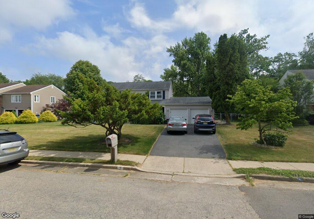
7 Girard St Marlboro, NJ 07746
Estimated Value: $732,000 - $755,000
3
Beds
3
Baths
1,887
Sq Ft
$395/Sq Ft
Est. Value
About This Home
This home is located at 7 Girard St, Marlboro, NJ 07746 and is currently estimated at $745,355, approximately $394 per square foot. 7 Girard St is a home located in Monmouth County with nearby schools including Marlboro Elementary School, Marlboro Middle School, and Marlboro High School.
Ownership History
Date
Name
Owned For
Owner Type
Purchase Details
Closed on
May 17, 2002
Sold by
Schipani Stephen
Bought by
Eng Koon Wing and Eng Anne Zhao
Current Estimated Value
Home Financials for this Owner
Home Financials are based on the most recent Mortgage that was taken out on this home.
Original Mortgage
$262,000
Outstanding Balance
$109,698
Interest Rate
6.81%
Estimated Equity
$635,657
Purchase Details
Closed on
Apr 23, 1998
Sold by
Wassa Salwa
Bought by
Schipani Stephen and Schipani Maddaleon
Home Financials for this Owner
Home Financials are based on the most recent Mortgage that was taken out on this home.
Original Mortgage
$164,000
Interest Rate
7.04%
Purchase Details
Closed on
Nov 19, 1997
Sold by
Rosholt Karlton
Bought by
Yassa Salwa
Create a Home Valuation Report for This Property
The Home Valuation Report is an in-depth analysis detailing your home's value as well as a comparison with similar homes in the area
Home Values in the Area
Average Home Value in this Area
Purchase History
| Date | Buyer | Sale Price | Title Company |
|---|---|---|---|
| Eng Koon Wing | $327,500 | -- | |
| Schipani Stephen | $205,000 | -- | |
| Yassa Salwa | $125,000 | -- |
Source: Public Records
Mortgage History
| Date | Status | Borrower | Loan Amount |
|---|---|---|---|
| Open | Eng Koon Wing | $262,000 | |
| Previous Owner | Schipani Stephen | $164,000 |
Source: Public Records
Tax History Compared to Growth
Tax History
| Year | Tax Paid | Tax Assessment Tax Assessment Total Assessment is a certain percentage of the fair market value that is determined by local assessors to be the total taxable value of land and additions on the property. | Land | Improvement |
|---|---|---|---|---|
| 2025 | $9,058 | $363,200 | $190,400 | $172,800 |
| 2024 | $8,659 | $363,200 | $190,400 | $172,800 |
| 2023 | $8,659 | $363,200 | $190,400 | $172,800 |
| 2022 | $8,437 | $363,200 | $190,400 | $172,800 |
| 2021 | $8,354 | $363,200 | $190,400 | $172,800 |
| 2020 | $8,350 | $363,200 | $190,400 | $172,800 |
| 2019 | $8,354 | $363,200 | $190,400 | $172,800 |
| 2018 | $8,212 | $363,200 | $190,400 | $172,800 |
| 2017 | $7,888 | $355,800 | $190,400 | $165,400 |
| 2016 | $7,856 | $355,800 | $190,400 | $165,400 |
| 2015 | $7,645 | $351,500 | $190,400 | $161,100 |
| 2014 | $7,768 | $353,400 | $210,400 | $143,000 |
Source: Public Records
Map
Nearby Homes
- 1304 Shore Ct
- 202 Shore Ct
- 203 Shore Ct
- 5 Buck Ln
- 680 - 21.04 County Road 520
- 680 - 21.1 County Road 520
- 680 - 21.21 County Road 520
- 680 County Road 520
- 680 - 21.15 County Road 520
- 680 - 21.19 County Road 520
- 680 - 21.11 County Road 520
- 680 - 21.12 County Road 520
- 680 - 21.09 County Road 520
- 680 - 21.05 County Road 520
- 680 - 21.13 County Road 520
- 680 - 21.06 County Road 520
- 680 - 21.16 County Road 520
- 680 - 21.22 County Road 520
- 680 - 21.08 County Road 520
- 680 - 21.14 County Road 520