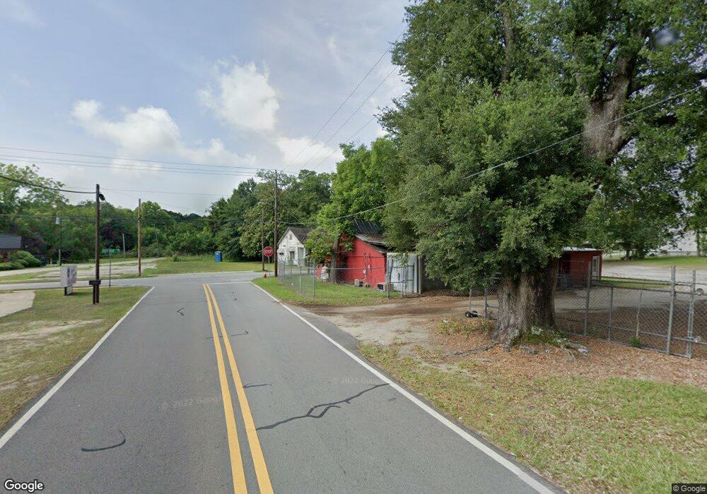
7 Gordon St Statesboro, GA 30458
Estimated Value: $167,000 - $271,000
--
Bed
3
Baths
1,848
Sq Ft
$116/Sq Ft
Est. Value
About This Home
This home is located at 7 Gordon St, Statesboro, GA 30458 and is currently estimated at $215,130, approximately $116 per square foot. 7 Gordon St is a home with nearby schools including Statesboro High School, Mill Creek Elementary School, and Langston Chapel Middle School.
Ownership History
Date
Name
Owned For
Owner Type
Purchase Details
Closed on
Aug 10, 2018
Sold by
Drake Land Grp Llc
Bought by
Hodges Julian Bird
Current Estimated Value
Purchase Details
Closed on
Jun 20, 2018
Sold by
Bss Enterprises Inc
Bought by
Drake Land Grp Llc
Purchase Details
Closed on
Aug 25, 2015
Sold by
Robert K Bell Jr Inc
Bought by
Bss Enterprises Inc
Purchase Details
Closed on
Sep 2, 2014
Sold by
City Of Statesboro
Bought by
Robert K Bell Jr Inc
Purchase Details
Closed on
Aug 1, 2003
Bought by
Bss Enterprises Inc
Purchase Details
Closed on
Mar 1, 2002
Bought by
Newsome David W
Purchase Details
Closed on
Mar 1, 1981
Bought by
Smith Smith W and Smith Grace
Create a Home Valuation Report for This Property
The Home Valuation Report is an in-depth analysis detailing your home's value as well as a comparison with similar homes in the area
Home Values in the Area
Average Home Value in this Area
Purchase History
| Date | Buyer | Sale Price | Title Company |
|---|---|---|---|
| Hodges Julian Bird | $36,500 | -- | |
| Drake Land Grp Llc | -- | -- | |
| Bss Enterprises Inc | -- | -- | |
| Robert K Bell Jr Inc | $7,500 | -- | |
| Bss Enterprises Inc | -- | -- | |
| Newsome David W | -- | -- | |
| Smith Smith W | -- | -- |
Source: Public Records
Tax History Compared to Growth
Tax History
| Year | Tax Paid | Tax Assessment Tax Assessment Total Assessment is a certain percentage of the fair market value that is determined by local assessors to be the total taxable value of land and additions on the property. | Land | Improvement |
|---|---|---|---|---|
| 2024 | $1,398 | $51,000 | $6,840 | $44,160 |
| 2023 | $1,389 | $48,520 | $6,600 | $41,920 |
| 2022 | $877 | $44,693 | $6,600 | $38,093 |
| 2021 | $823 | $40,828 | $6,600 | $34,228 |
| 2020 | $990 | $47,696 | $6,600 | $41,096 |
| 2019 | $1,000 | $47,908 | $6,600 | $41,308 |
| 2018 | $1,028 | $47,246 | $6,600 | $40,646 |
| 2017 | $1,025 | $46,536 | $6,600 | $39,936 |
| 2016 | $1,031 | $45,636 | $6,600 | $39,036 |
| 2015 | $1,026 | $45,221 | $6,600 | $38,621 |
| 2014 | $942 | $45,221 | $6,600 | $38,621 |
Source: Public Records
Map
Nearby Homes
- 227 E Main St
- 15 N Gordon St
- LOT 21 Oak Hill Dr
- 316 E Main St
- 118 Lee St
- 111 S Mulberry St
- 342 Savannah Ave
- 0 Highway 67 Unit 10541885
- 0 U S 301 Unit 24576764
- 360 Savannah Ave
- 112 Stratford St
- 362 Savannah Ave
- 0 Oak St Unit OAK ST/ LOT 2
- 0 Green Ridge Ct Unit 40 8990863
- 0 Highway 80 W Unit 10534803
- 834 Northside Dr E
- 313 Donaldson St
- 203 Gentilly Rd
- 8 Roundtree St
- 113 Church St
- 9 N Gordon St
- 231 E Main St
- 226 Hill St
- 224 Hill St
- 225 E Main St
- 301 E Main St
- 8 Gordon St
- 0 Hwy 24 Unit 7002902
- 0 Hwy 24 Unit 20146691
- 0 Hwy 24 Unit 20006920
- 0 Hwy 24 Unit 8875952
- 234 E Main St
- 223 E Main St
- 227 Hill St
- 221 Hill St
- 236 E Main St
- 226 E Main St
- 218 Hill St
- 1483 Northside Dr E
- 221 E Main St
