7 Gorham Rd South Kent, CT 06785
Estimated Value: $1,053,000 - $2,402,312
5
Beds
4
Baths
3,712
Sq Ft
$437/Sq Ft
Est. Value
About This Home
This home is located at 7 Gorham Rd, South Kent, CT 06785 and is currently estimated at $1,621,078, approximately $436 per square foot. 7 Gorham Rd is a home located in Litchfield County with nearby schools including Kent Center School and Housatonic Valley Regional High School.
Ownership History
Date
Name
Owned For
Owner Type
Purchase Details
Closed on
Jan 4, 2005
Sold by
American Landsource Ll
Bought by
Eisner Joseph A
Current Estimated Value
Home Financials for this Owner
Home Financials are based on the most recent Mortgage that was taken out on this home.
Original Mortgage
$314,910
Outstanding Balance
$157,625
Interest Rate
5.62%
Estimated Equity
$1,463,453
Create a Home Valuation Report for This Property
The Home Valuation Report is an in-depth analysis detailing your home's value as well as a comparison with similar homes in the area
Home Values in the Area
Average Home Value in this Area
Purchase History
| Date | Buyer | Sale Price | Title Company |
|---|---|---|---|
| Eisner Joseph A | $349,900 | -- | |
| Eisner Joseph A | $349,900 | -- |
Source: Public Records
Mortgage History
| Date | Status | Borrower | Loan Amount |
|---|---|---|---|
| Open | Eisner Joseph A | $314,910 | |
| Closed | Eisner Joseph A | $314,910 |
Source: Public Records
Tax History Compared to Growth
Tax History
| Year | Tax Paid | Tax Assessment Tax Assessment Total Assessment is a certain percentage of the fair market value that is determined by local assessors to be the total taxable value of land and additions on the property. | Land | Improvement |
|---|---|---|---|---|
| 2025 | $24,225 | $1,436,000 | $130,000 | $1,306,000 |
| 2024 | $21,898 | $1,404,600 | $130,000 | $1,274,600 |
| 2023 | $2,261 | $120,500 | $120,500 | $0 |
| 2022 | $2,238 | $120,500 | $120,500 | $0 |
| 2021 | $2,238 | $120,500 | $120,500 | $0 |
| 2020 | $2,243 | $120,500 | $120,500 | $0 |
| 2019 | $2,243 | $120,500 | $120,500 | $0 |
| 2018 | $2,669 | $143,400 | $143,400 | $0 |
| 2017 | $2,669 | $143,400 | $143,400 | $0 |
| 2016 | $2,629 | $143,400 | $143,400 | $0 |
| 2015 | $2,561 | $143,400 | $143,400 | $0 |
| 2014 | $2,442 | $143,400 | $143,400 | $0 |
Source: Public Records
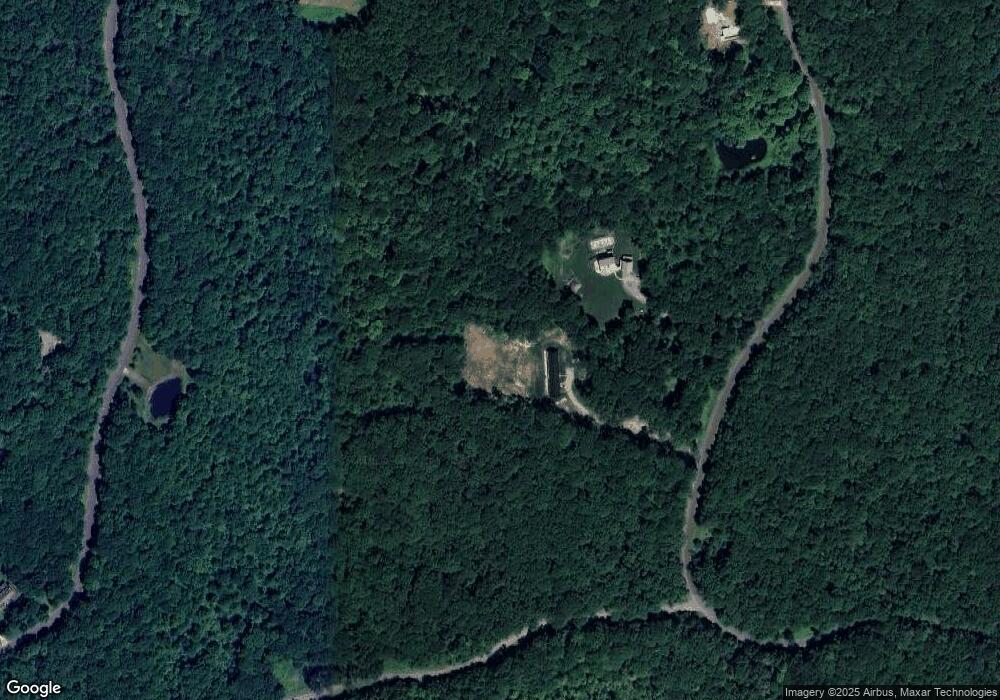
Map
Nearby Homes
- 0 Gorham Rd Unit 24138133
- 0 Mount Mauwee Rd
- 5 Weantinogue Ln
- 0 Stonewall Unit 39
- 11 Old Paddock Ln
- 23 Mauwee Brook Rd
- 00 Upper Kent Hollow Rd
- 0 Richards Rd Unit 24140078
- 16 Stone Fences Ln
- 8 Bobcat Ln
- 13 Cobble Heights Rd
- 308 Skiff Mountain Rd
- 0 Mountain Lake Rd
- 14 Straight Rd
- 25 Mountain Lake Rd
- 221 Fuller Mountain Rd
- 1 W Woods Rd
- 132 Curtiss Rd
- 18 Arrow Point Rd
- 0 Lake Rd
- 5 Gorham Rd
- 15 Gorham Rd
- 3 Gorham Rd
- 3 Gorham Rd
- 0 Gorham Rd Unit 170050260
- 0 Gorham Rd Unit L130607
- 0 Gorham Rd Unit L131987
- 0 Gorham Rd Unit L133051
- 0 Gorham Rd Unit 24048680
- 2 Gorham Rd
- 0 Gorham Rd Unit 170160282
- Lot #1 Gorham Rd
- Lot #4 Gorham Rd
- 0 Kenico Rd Unit 98377140
- 39 Gorham Rd
- 36 Gorham Rd
- 7 Gorham Rd
- 90 Gorham Rd
- 71 Gorham Rd
- 16 Gorham Rd