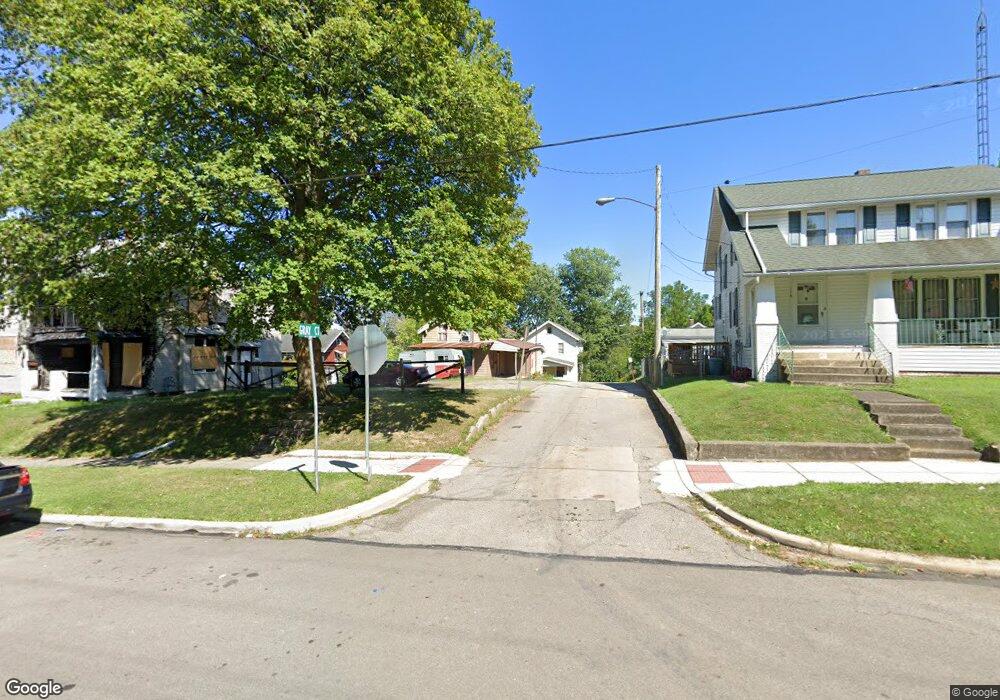
7 Gray Ct Mansfield, OH 44903
Estimated Value: $57,000 - $84,000
3
Beds
1
Bath
1,409
Sq Ft
$48/Sq Ft
Est. Value
About This Home
This home is located at 7 Gray Ct, Mansfield, OH 44903 and is currently estimated at $67,262, approximately $47 per square foot. 7 Gray Ct is a home located in Richland County with nearby schools including Goal Digital Academy, Mansfield Elective Academy, and Interactive Media & Construction (IMAC) Academy.
Ownership History
Date
Name
Owned For
Owner Type
Purchase Details
Closed on
Oct 17, 2007
Sold by
Miller Jay and Miller Sarah
Bought by
Butternut Property Group Llc
Current Estimated Value
Purchase Details
Closed on
Apr 4, 2007
Sold by
Moseley Marvin R and Hamilton Bart W
Bought by
Miller Jay
Purchase Details
Closed on
Mar 18, 1998
Sold by
Boyd Dale R
Bought by
Moseley Marvin R and Moseley Anne M
Purchase Details
Closed on
Nov 15, 1996
Sold by
Mclaughlin Michael B
Bought by
Boyd Dale R
Home Financials for this Owner
Home Financials are based on the most recent Mortgage that was taken out on this home.
Original Mortgage
$16,000
Interest Rate
8.18%
Mortgage Type
New Conventional
Purchase Details
Closed on
Jul 1, 1993
Sold by
Flood James E
Bought by
Mclaughlin Michael B
Create a Home Valuation Report for This Property
The Home Valuation Report is an in-depth analysis detailing your home's value as well as a comparison with similar homes in the area
Home Values in the Area
Average Home Value in this Area
Purchase History
| Date | Buyer | Sale Price | Title Company |
|---|---|---|---|
| Butternut Property Group Llc | -- | None Available | |
| Miller Jay | $3,600 | None Available | |
| Moseley Marvin R | $37,000 | -- | |
| Boyd Dale R | $20,000 | -- | |
| Mclaughlin Michael B | $20,500 | -- |
Source: Public Records
Mortgage History
| Date | Status | Borrower | Loan Amount |
|---|---|---|---|
| Previous Owner | Boyd Dale R | $16,000 |
Source: Public Records
Tax History
| Year | Tax Paid | Tax Assessment Tax Assessment Total Assessment is a certain percentage of the fair market value that is determined by local assessors to be the total taxable value of land and additions on the property. | Land | Improvement |
|---|---|---|---|---|
| 2024 | $105 | $2,190 | $1,030 | $1,160 |
| 2023 | $105 | $2,190 | $1,030 | $1,160 |
| 2022 | $109 | $1,900 | $990 | $910 |
| 2021 | $109 | $1,900 | $990 | $910 |
| 2020 | $112 | $1,900 | $990 | $910 |
| 2019 | $124 | $1,900 | $990 | $910 |
| 2018 | $122 | $1,900 | $990 | $910 |
| 2017 | $151 | $2,770 | $1,250 | $1,520 |
| 2016 | $129 | $1,990 | $530 | $1,460 |
| 2015 | $123 | $1,990 | $530 | $1,460 |
| 2014 | $121 | $1,990 | $530 | $1,460 |
| 2012 | $97 | $2,090 | $550 | $1,540 |
Source: Public Records
Map
Nearby Homes
- 10 Gray Ct
- 519 Heineman Blvd
- 458 W West Dickson Ave
- 212 Penn Ave
- 230 Rae Ave
- 31 Bartley Ave
- 344 W 5th St
- 30 Douglas Ave
- 24 Stewart Ave S
- 368 W 6th St
- 71 Dawson Ave
- 51 Lind Ave
- 31 Parkwood Blvd
- 108 Stewart Ave S
- 126 Dawson Ave
- 116 Stewart Ave S
- 133 Stewart Ave S
- 0 Lemley Ave Unit 9070540
- 158 Vennum Ave
- 0 Voegele Ave Unit Lot 6048, 6049, 6
- 132 Rowland Ave
- 8 Gray Ct
- 118 Rowland Ave
- 136 Rowland Ave
- 116 Rowland Ave
- 485 W 4th St
- 479 W 4th St
- 497 W 4th St
- 475 W 4th St
- 129 Gettings Place
- 129 Getting Place
- 112 Rowland Ave
- 142 Rowland Ave
- 121 Gettings Place
- 125 Gettings Place
- 117 Gettings Place
- 469 W 4th St Unit 471
- 113 Gettings Place
- 117 Rowland Ave
- 106 Rowland Ave
Your Personal Tour Guide
Ask me questions while you tour the home.